📷 Selwyn
Oceania
Selwyn
Limited
→stable
Scroll for happiness
Last Snowfall
May 31
1d agoPast 24 Hours
0cm
Past 48 Hours
0cm
Past 10 Days
0cm
14-Day Forecast
14.8cm
Snow Depth
--
Overview
Selwyn is a ski resort in Oceania, Australia. Today's SnowSure™ Score is 13/100 (Limited). The 14-day ensemble forecast across seven weather models (ECMWF, GFS, GEM, JMA, ICON, Météo-France, Met Norway) calls for ~7 cm (2.8 in) of new snow. Conditions last updated 2026-06-01 10:03 UTC.
Resort Guide
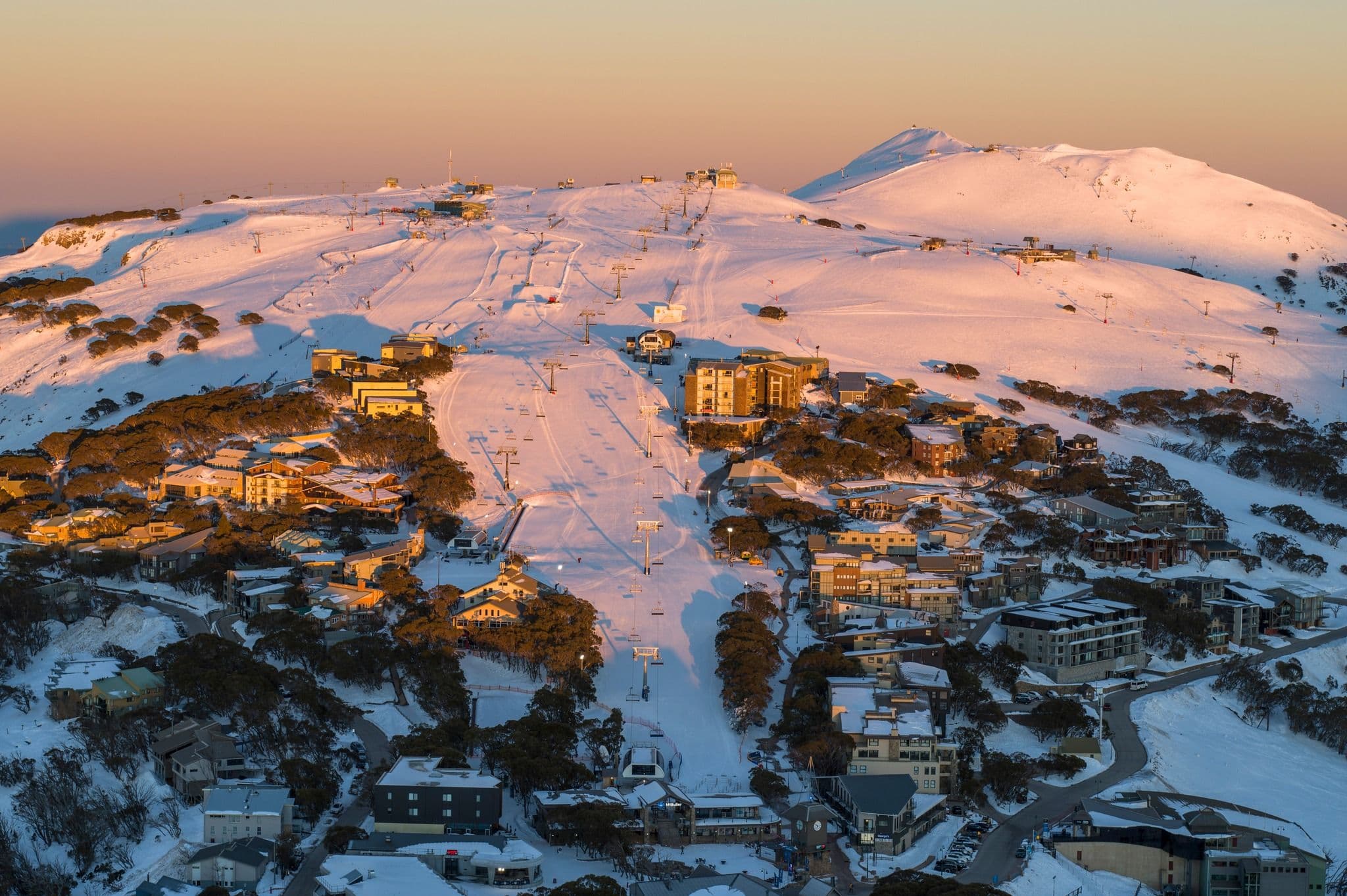
Selwyn Snow Resort is located in the Snowy Mountains of New South Wales, Australia, offering a family-friendly atmosphere with gentle slopes ideal for beginners and intermediates. The resort features a variety of ski and snowboard runs, dedicated snow play areas, and modern facilities including equipment hire and ski school. Selwyn is recognized for its accessible terrain, relaxed environment, and focus on providing an enjoyable snow experience for all ages.
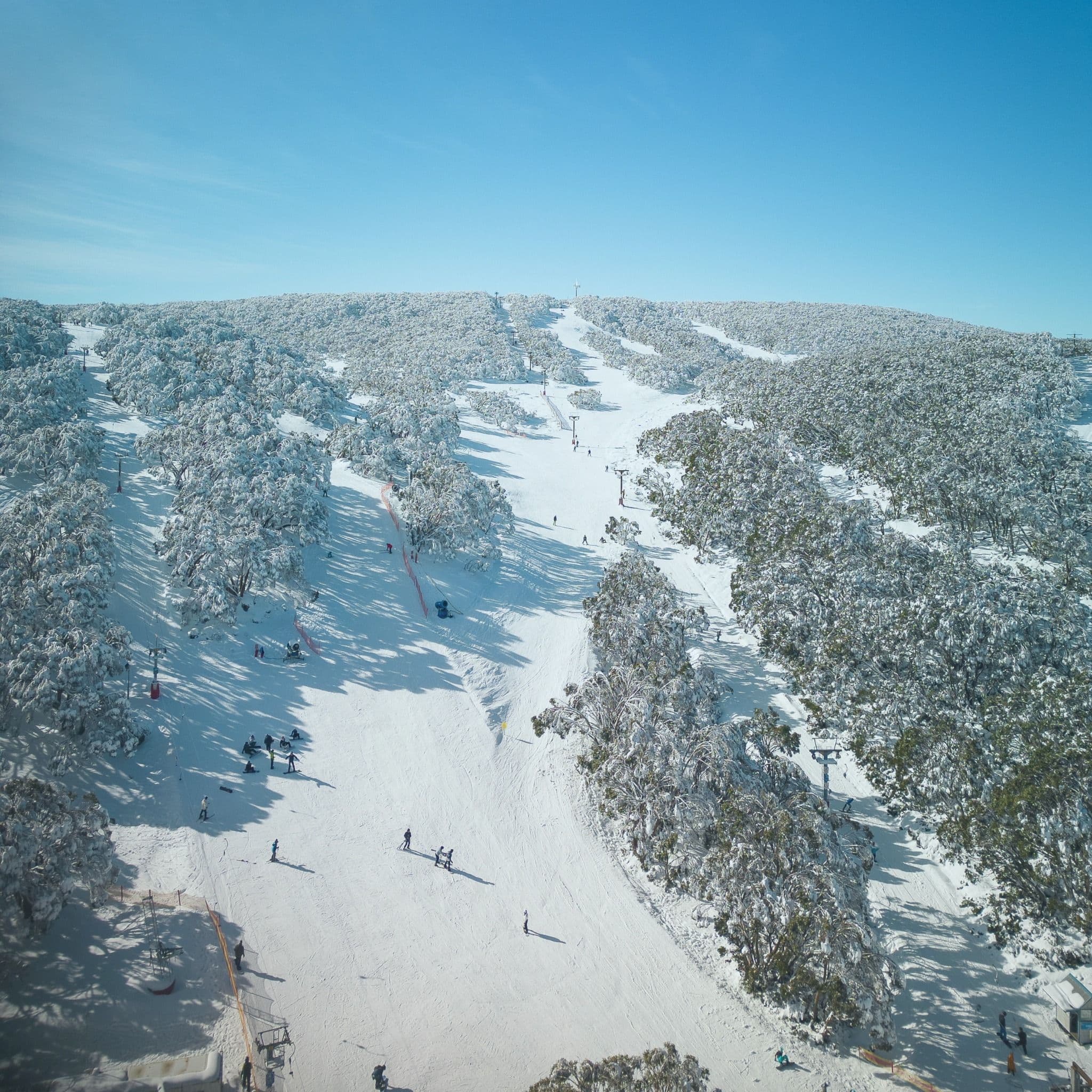
Gallery
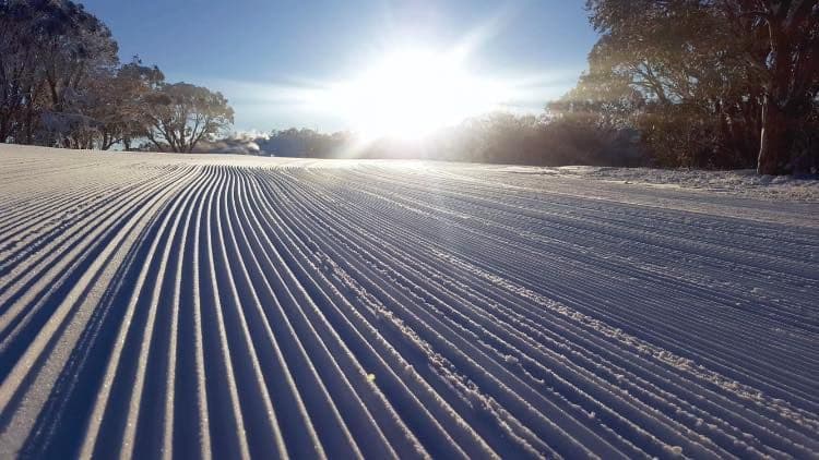
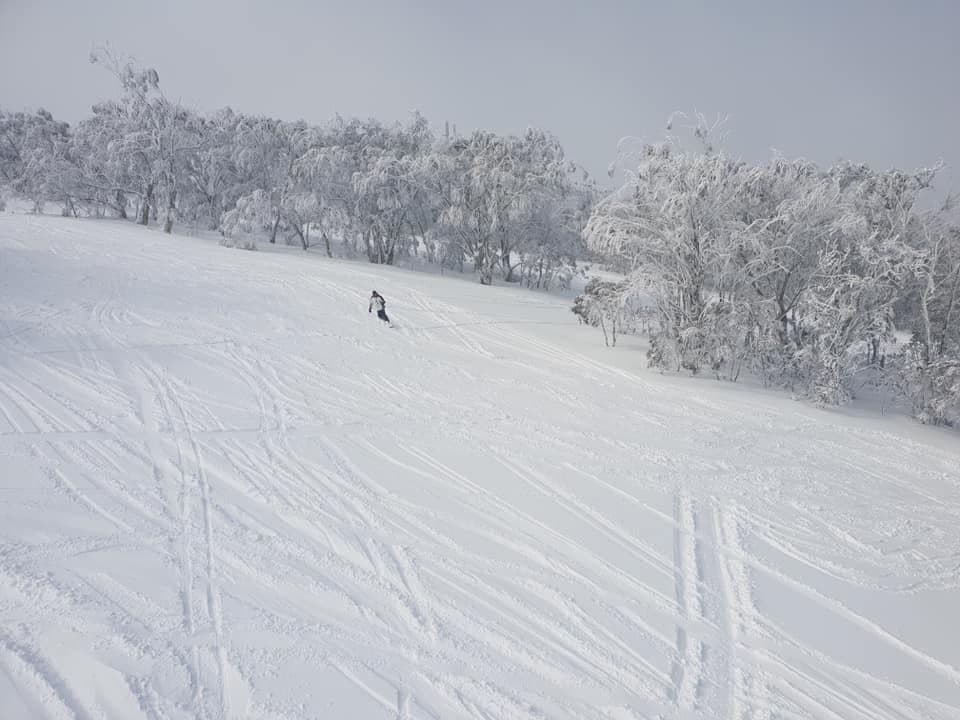
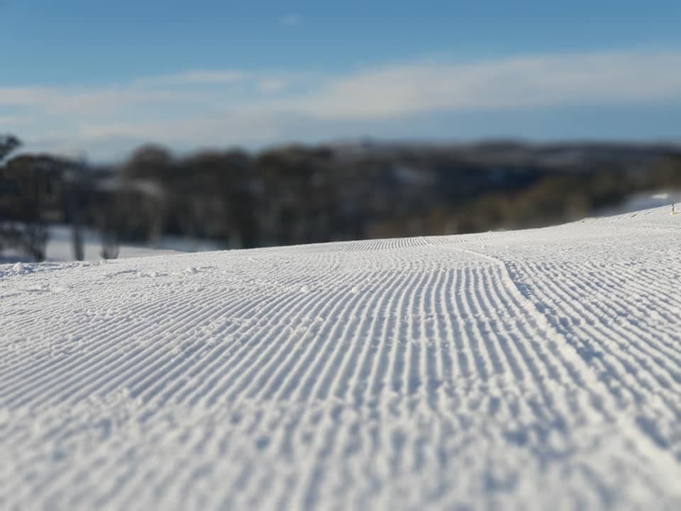
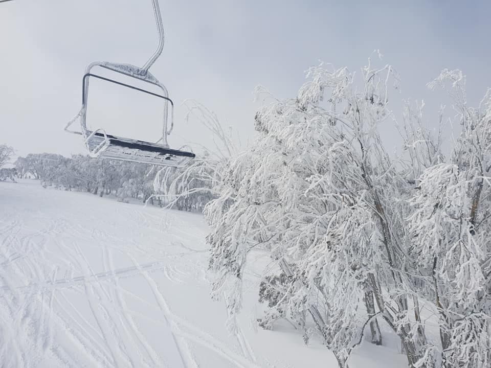
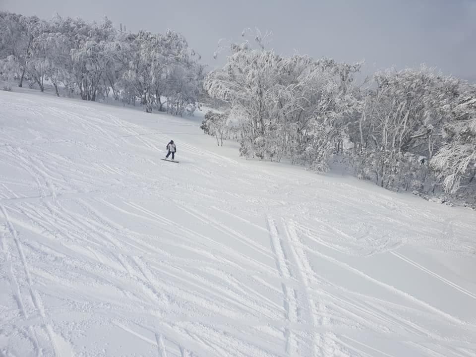
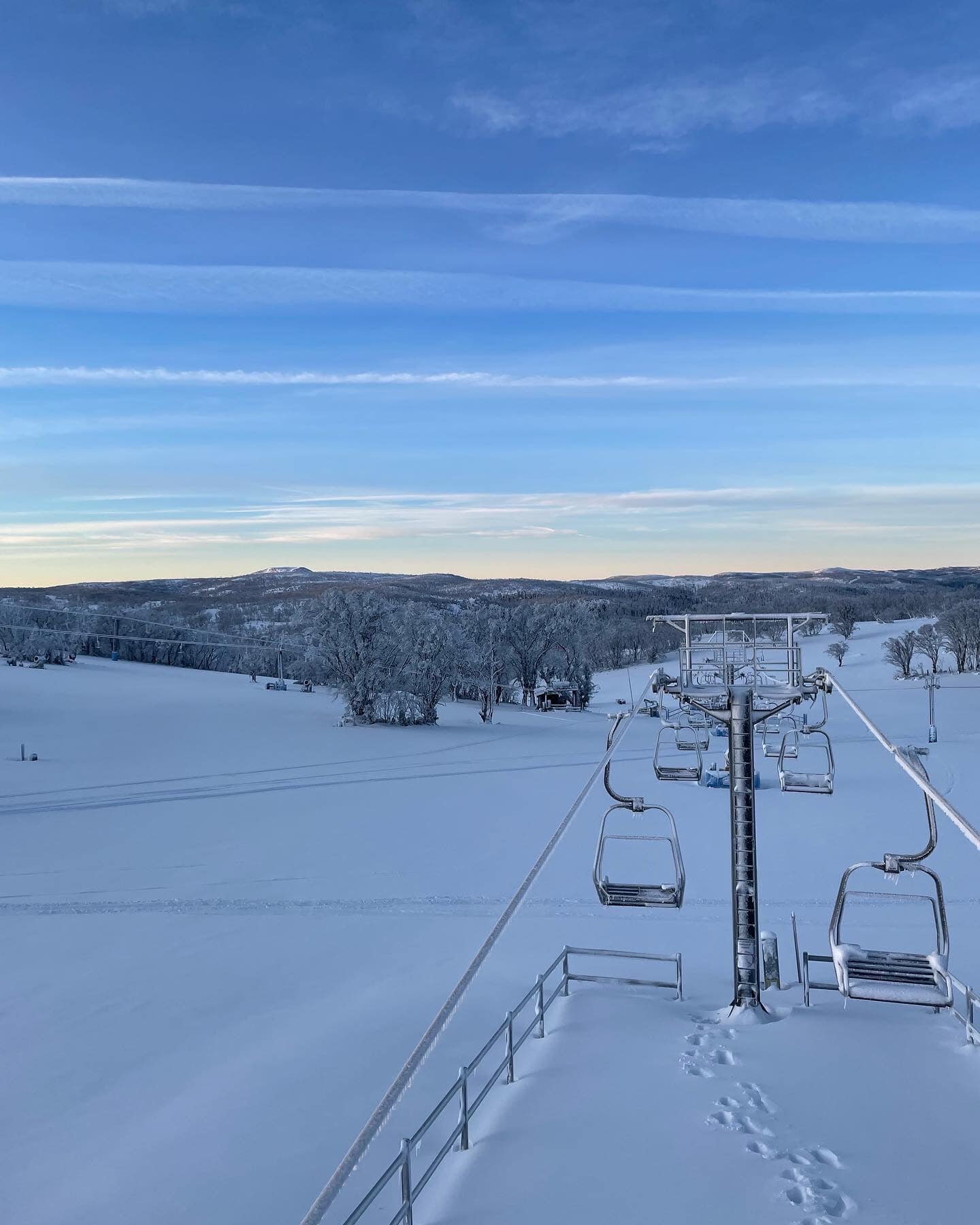
Click to expand • 7 total photos
Resort Info
Top Après Ski
Unable to determine top apres ski place for this resort.
Early season conditions - great for first turns of the year.
Currently, Selwyn is experiencing light drizzle with a temperature of 0°C and no new snowfall in the past week. With a season total of 30cm, conditions are limited, but there's a potential for some fresh snow in the next two weeks.
AI-generated summaryDepth
Snow depth information is currently unavailable.
Recent
No new snow has fallen in the past week.
Forecast
The 14-day outlook suggests an average of 8cm of snow, with a potential high of 15cm according to ECMWF models.
Historic
This season's total of 30cm is below average compared to typical conditions.
Data updated Mon, Jun 1, 10:03 AM UTC
Snow Summary
Updated Jun 1, 2026 at 10:12 AM
Historical data from Open-Meteo archive • Forecast from ECMWF IFS model
Current Conditions
Reported Mon, Jun 1, 10:03 AM UTC
Base
1492m
Temp
1.2°C
Wind
19.5km/h
Snow Depth
--
14-Day Forecast
7.3cm
Mid-Mountain
1553m
Temp
0.8°C
Wind
21km/h
Snow Depth
--
14-Day Forecast
6.8cm
Summit
1614m
Temp
0.4°C
Wind
19.5km/h
Snow Depth
--
14-Day Forecast
7.9cm
Local Reports
0 reportsDaily Snowfall Forecast by Model
Shows daily snowfall predictions from 7 weather models. Black line = SnowSure™ weighted average.
14-Day Snow Forecast by Model
Summit elevation (1614m)
10-Day Forecast
Today
1
🌧️
5°
-1.5°
Tue
2
❄️
3.9°
0.5°
0.7cm
Wed
3
❄️
3.5°
-0.2°
2.5cm
Thu
4
❄️
0.8°
-1.6°
11.1cm
Fri
5
🌧️
3°
-5.9°
0.5cm
Sat
6
☁️
5.6°
-8.3°
Sun
7
☁️
6.8°
-5.3°
Mon
8
⛅
6.5°
-5.1°
Tue
9
🌧️
7.2°
-0.6°
Wed
10
🌧️
5.4°
4°
Summit elevation (1614m) • ECMWF model
Season vs Historic
Updated Mon, Jun 1, 10:03 AM UTC
29.9cm
Season Total
This Season to Date
-8%
vs 5-Year Avg
32.4cm avg by now
+59%
vs 30-Year Avg
18.8cm avg by now
32.4cm
5-Yr Avg by Now
Best Months to Visit
August
Peak Season
July
Peak Season
September
Good
June
Good
Note: Based on typical ski season patterns for this region.