
📷 Pats Peak
North America
Pats Peak
Pre-season — not open yet
Projected to open November 29, 2026
Conditions data updated Sat, Jul 4, 04:04 PM UTC · informational only
Scroll for happiness
Closed for Season
Weather data is still collected for informational purposes.
Last Snowfall
May 30
Past 24 Hours
0cm
Past 48 Hours
0cm
Past 10 Days
0cm
14-Day Forecast
0cm
Snow Depth
--
Overview
Pats Peak is a ski resort in North America, United States, currently closed for the season (Projected to open November 29, 2026). Today's SnowSure™ Score is 10/100 (Limited). Conditions last updated 2026-07-04 16:04 UTC.
Resort Guide
Pats Peak is a ski resort located in Henniker, New Hampshire, offering 28 trails, 11 lifts, and a variety of terrain for all ability levels. The resort is known for its family-friendly atmosphere, extensive night skiing, and dedicated learning areas for beginners. Key amenities include a spacious base lodge, rental and lesson services, and snow tubing. Pats Peak stands out for its accessible location, consistent snowmaking, and commitment to providing a welcoming environment for both new and experienced skiers.
Gallery
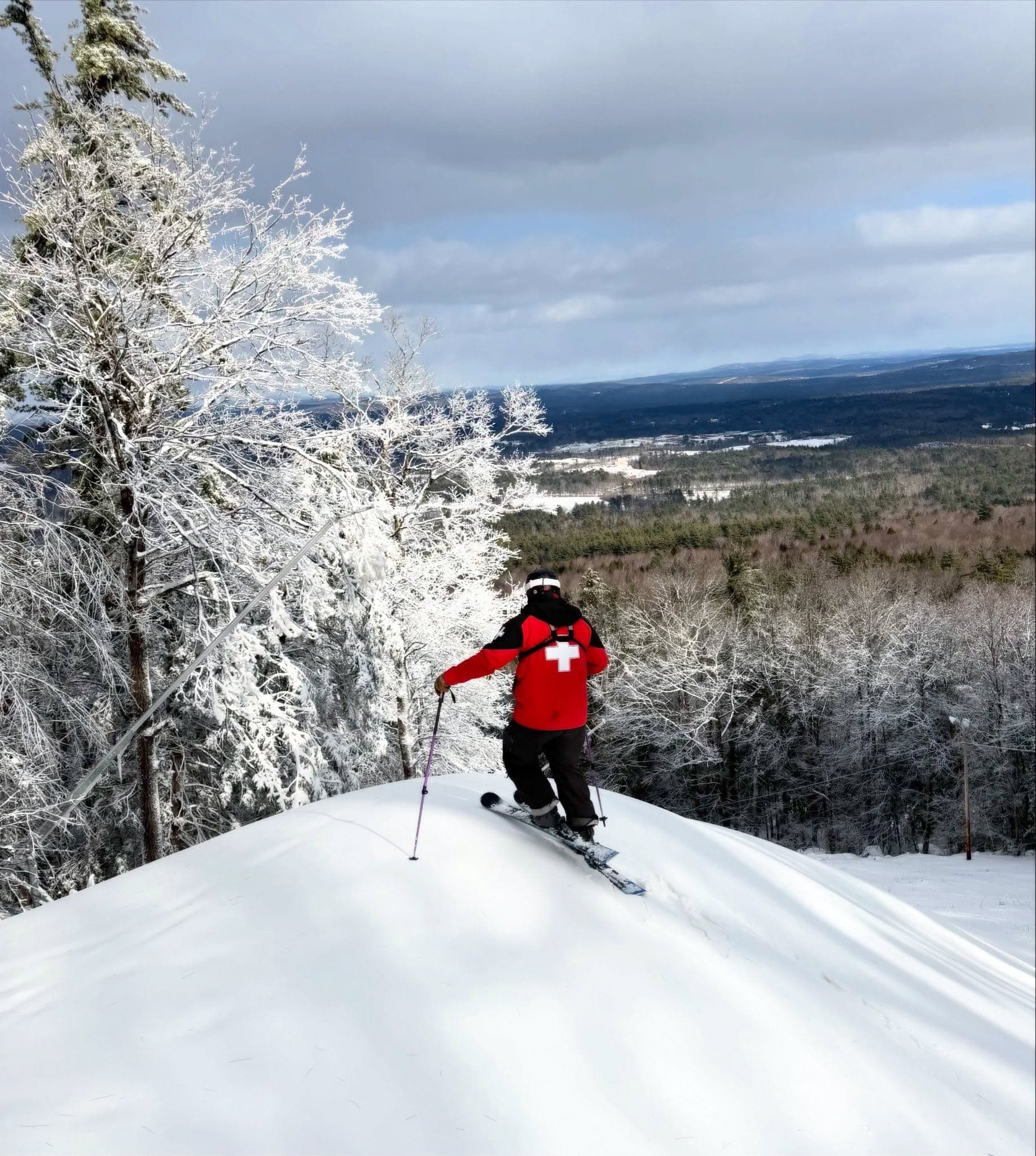
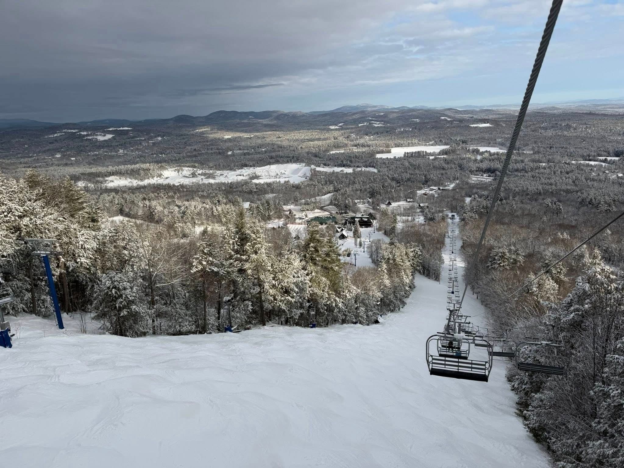
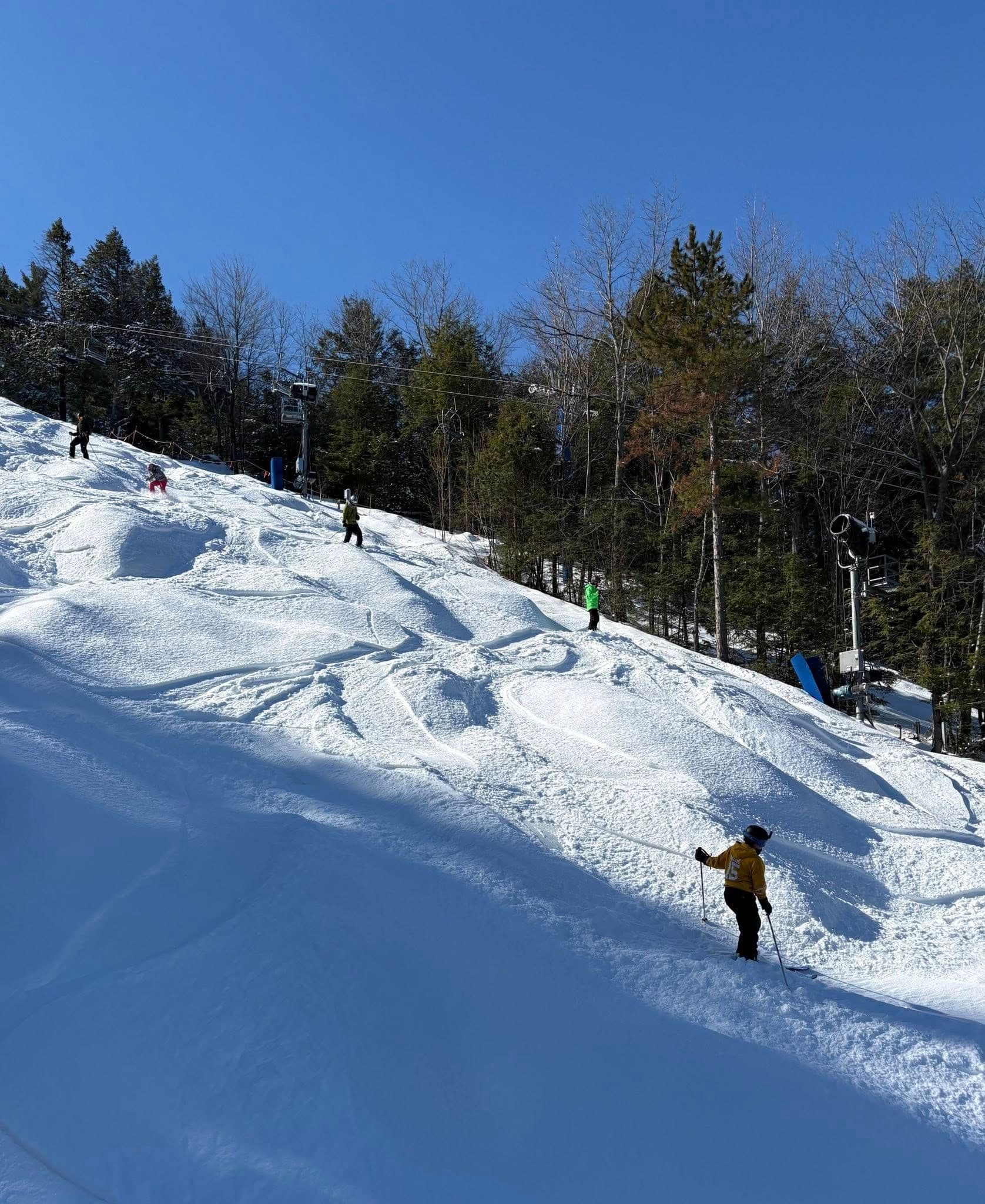
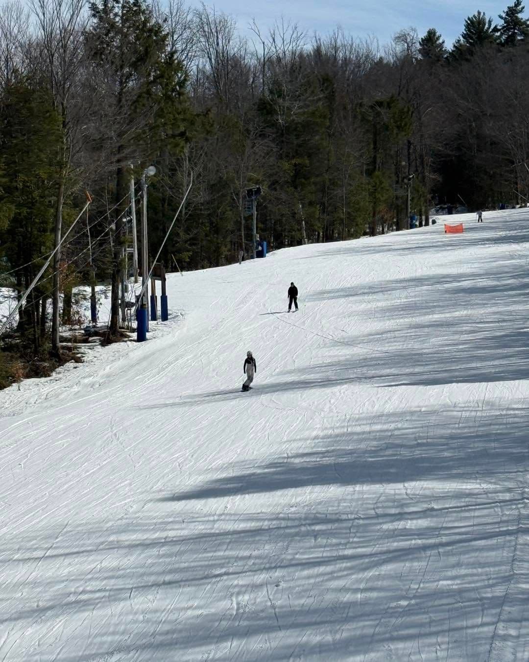
Click to expand • 5 total photos
Terrain & lifts
Resort-reported stats for Pats Peak
Lifts
11
Skiable area
284.2 ac
Longest run
1.6 km / 1 mi
Runs by difficulty(28 total)
Beginner
14
50% of terrain
Intermediate
5
18% of terrain
Advanced
4
14% of terrain
Expert
5
18% of terrain
Run counts estimated from resort-reported totals and terrain mix.
Terrain by difficulty
- Beginner50%
- Intermediate18%
- Advanced14%
- Expert18%
Lift fleet
- Quad chair2
- Triple chair2
- Double chair2
- Surface lift5
Snowmaking covers about 100% of terrain.
Resort Info
Season dates
Future dates are operator estimates and may change.
Ski passes
Indy Pass
Access tiers change by season — confirm benefits on the pass operator's site.
Top Après Ski
Sled Pub – A popular après-ski spot at Pats Peak, Sled Pub is known for its welcoming atmosphere, live music on weekends, and a wide selection of craft beers and comfort food, making it a favorite gathering place for skiers to unwind after a day on the slopes.
Not operating — not open yet
Projected to open November 29, 2026
SnowSure scores and forecasts below are for planning and reference only while the resort is closed.
Depth
Snowpack still building before opening — no base depth yet.
Recent
No new snow has been reported in the past week.
Forecast
The 14-day snow outlook is currently unavailable, making it important to monitor conditions as the opening date approaches.
Historic
As it is early in the season, it is not meaningful to compare current conditions to the 5-year average to-date of 120cm.
Closed for the season · Data updated Sat, Jul 4, 04:04 PM UTC · informational only
Snow Summary
Updated Jul 4, 2026 at 4:04 PM
Historical data from Open-Meteo archive • Forecast from ECMWF IFS model
Snowfall Forecast Maps
Northeast US region
Current Conditions
Reported Sat, Jul 4, 04:04 PM UTC
Base
210m
Temp
26.9°C
Wind
16.9km/h
Snow Depth
--
14-Day Forecast
0cm
Mid-Mountain
328m
Temp
26.1°C
Wind
19km/h
Snow Depth
--
14-Day Forecast
0cm
Summit
445m
Temp
25.4°C
Wind
16.9km/h
Snow Depth
--
14-Day Forecast
0cm
Local Reports
0 reportsDaily Snowfall Forecast by Model
Black line = verified SnowSure™ blend (not a simple average). Weights update weekly from measured snowfall at SNOTEL stations and resort reports.
SnowSure™ blend — verified model weighting
The black line is not a simple average. For Pats Peak (rockies), we combine seven global weather models using weights learned from daily forecast verification — comparing each model's prediction to measured snowfall (SNOTEL, resort reports, ERA5).
- 1.Horizon buckets: days 1–3, 4–7, and 8–14 each get separate weights — short-range skill differs from long-range.
- 2.Regional calibration: weights come from verified error in this geography (Rockies, Alps, Japan, etc.), recalculated weekly.
- 3.Ground truth only: we never grade a forecast against another model — only against measured snow.
Building verification history for this resort.
How we verify forecasts →Hourly Forecast Detail
AM / PM / Night breakdown with wind and freezing level
NWP models refresh up to 4× daily · Last synced Jul 4, 4:04 PM
Today 27 / 193mm | Sun, Jul 5 28 / 14 | Mon, Jul 6 25 / 151.2mm | Tue, Jul 7 23 / 13 | Wed, Jul 8 28 / 12 | Thu, Jul 9 31 / 16 | |||||||||||||
|---|---|---|---|---|---|---|---|---|---|---|---|---|---|---|---|---|---|---|
| Period | AM | PM | Night | AM | PM | Night | AM | PM | Night | AM | PM | Night | AM | PM | Night | AM | PM | Night |
| Snow (cm) | 0 | 0 | 0 | 0 | 0 | 0 | 0 | 0 | 0 | 0 | 0 | 0 | 0 | 0 | 0 | 0 | 0 | 0 |
| Precip (mm) | 0.3 | 2.7 | 0 | 0 | 0 | 0 | 0 | 0 | 1.2 | 0 | 0 | 0 | 0 | 0 | 0 | 0 | 0 | 0 |
| Temp (°C) | 25 | 24 | 22 | 21 | 27 | 19 | 19 | 24 | 18 | 17 | 23 | 16 | 17 | 26 | 17 | 22 | 30 | 21 |
| Wind (km/h) | 13 | 14 | 10 | 3 | 2 | 7 | 1 | 10 | 7 | 11 | 16 | 8 | 2 | 4 | 7 | 4 | 9 | 9 |
| Gusts (km/h) | 29 | 42 | 21 | 12 | 13 | 17 | 11 | 25 | 18 | 26 | 39 | 20 | 13 | 26 | 22 | 12 | 26 | 25 |
14-Day Snow Forecast by Model
Summit elevation (445m)
10-Day Forecast
Today
4
🌧️
26.9°
19°
18 km/h
Sun
5
☁️
27.8°
14.2°
8 km/h
Mon
6
🌧️
24.9°
15.3°
15 km/h
Tue
7
☁️
23.3°
13.1°
17 km/h
Wed
8
☁️
27.6°
12.1°
16 km/h
Thu
9
☁️
30.8°
15.7°
16 km/h
Fri
10
☁️
29.3°
19.5°
11 km/h
Sat
11
🌧️
25.6°
18.2°
8 km/h
Sun
12
🌧️
27.3°
16.5°
9 km/h
Mon
13
🌦️
28.1°
16.2°
10 km/h
Summit elevation (445m) • ECMWF model
Season vs Historic
Updated Sat, Jul 4, 04:04 PM UTC
0cm
Season Total
This Season to Date
—
vs 5-Year Avg
Off-season · 120cm full-season avg
—
vs 30-Year Avg
Off-season · 120cm full-season avg
120cm
5-Yr Avg by Now
Over the past five years, average seasonal snowfall has declined to 138.2 cm, falling below the 30-year average of 149.9 cm. The most recent season recorded only 106.1 cm, representing a significant drop to 83% of the 5-year average and 77% of the 30-year average. This marks a notable downward anomaly compared to both short- and long-term trends, suggesting increased variability and a potential shift toward lower snowfall in recent years.
Pats Peak Snow History
Average annual snowfall is 149cm with an average of 55 snowfall days per season. The table below shows monthly averages across 30 seasons of archive data (modeled snowpack at mid-elevation).
| Month | Avg Snowfall | Snowfall Days | Avg Base Depth | Max Base Depth | Biggest Snowfall |
|---|---|---|---|---|---|
| November | 8.7cm | 5 days | 1cm | 6cm | 4.9cm |
| December | 32.4cm | 10 days | 9cm | 23cm | 12.5cm |
| January | 32.1cm | 13 days | 16cm | 31cm | 11.2cm |
| February | 32.3cm | 11 days | 22cm | 36cm | 11.4cm |
| March | 31.1cm | 10 days | 17cm | 35cm | 12.1cm |
| April | 11.1cm | 5 days | 3cm | 17cm | 6.4cm |
| May | 0.4cm | 0 days | 0cm | 3cm | 2.1cm |
Source: SnowSure archive · Open-Meteo ERA5 reanalysis at mid-elevation. Depth is modeled, not resort-reported.
Season at a Glance
Next season(2026-27)
Opens Nov 29, 2026
Multi-season averages will appear once SnowSure has tracked more than one full season.
Best Months to Visit
February
Peak Season
January
Peak Season
March
Good
December
Good
Note: Based on typical ski season patterns for this region.


