

Oceania
Thredbo
Fair · 2026 season average
Projected to open June 2027 · average of 94 verified open days
Best months to book: July, August, June · last season + 30-yr record
Scroll for happiness
Projected to open Jun 2027 — closed September 13
Weather data is still collected for informational purposes.
Last Snowfall
Oct 3
9d agoPast 24 Hours
0cm
Resort reportedPast 48 Hours
0cm
Past 10 Days
0cm
7-Day Forecast
0cm
Snow Depth
--
Powder Days
13
2026 season
Bluebird Days
3
2026 season
Local Snow
SnowSure Forecaster · October 13, 2026 · How we forecast →
0cm forecast over the next 7 days
Thredbo is looking at 0.3cm over the next 7 days, with the biggest day on Wednesday.
Short-Term Forecast
The multi-model blend shows 0.3cm over the next 72 hours (Tuesday 0cm, Wednesday 0.3cm, Thursday 0cm). The biggest day is Wednesday at 0.3cm.
Extended Forecast
The 7-day window totals 0.3cm. Models disagree by 1.2cm on the window total (5.6 models contributing on average), so treat the figures as a range rather than a promise. Best window: Wednesday.
Yesterday: Quiet days ahead with a hint of snow midweek
Fair
2026 season average
Thredbo is projected to open June 2027. Last season it averaged 19.8 across 94 verified open days.
Best months to book
- #1July37cm avg · last season 24.5
- #2August36cm avg · last season 20.6
- #3June26cm avg · last season 14.7
Best weeks to book
- #1 12 Jul – 18 Jul · last season 29.4
- #2 5 Jul – 11 Jul · last season 26.6
- #3 26 Jul – 1 Aug · last season 21.3
Ranked on 25% last season's SnowSure score (2026) · 75% 30-year snowfall and base-depth record. Last season's strongest fortnight was 3 Jul – 16 Jul. One season describes what happened, not what to expect. The live score returns when the lifts turn.
Current Conditions
Reported Mon, Oct 12, 08:02 PM UTC
Terrain Open
Projected to open Jun 2027
Projected to open June 2027 · season ended September 13, 2026
59 runs · 14 lifts — live counts and the SnowSure™ Score return when the lifts turn.
- Lifts– / 14
- Runs– / 59
Days 8–14 and every model are in SnowSure Pro.
Unlock with ProHistorical data from Open-Meteo archive • Forecast: SnowSure™ multi-model blend
Maps
All maps for Thredbo →
Webcams & Proof of Powder
All webcams & Proof of Powder →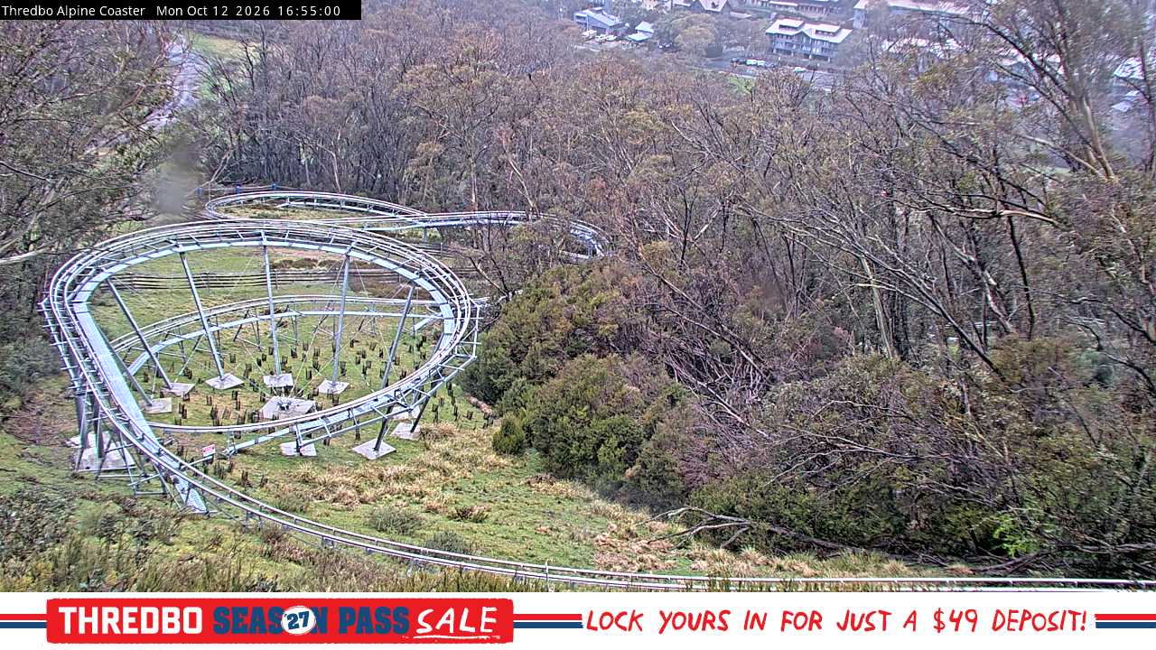

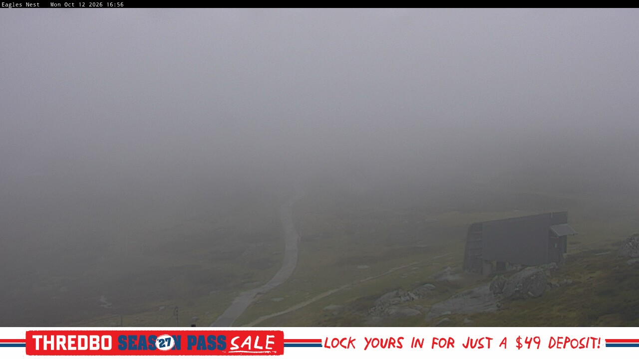

About Thredbo
Thredbo is a premier alpine resort located in the Snowy Mountains of New South Wales, Australia, offering over 480 hectares of terrain and the country’s longest ski runs. The resort features a vibrant village atmosphere, modern lift infrastructure, and a variety of accommodation, dining, and après-ski options. Signature experiences include Australia’s highest lifted point, extensive snowmaking, and year-round activities such as mountain biking and hiking, making Thredbo a standout destination for both winter and summer mountain adventures.
Read the full resort guide →Frequently asked questions about Thredbo
- Where is Thredbo?
- Thredbo is a ski resort in Australia.
- How high is Thredbo?
- Thredbo runs from a base elevation of 1,365 m (4,478 ft) to a summit of 2,037 m (6,683 ft), giving a vertical drop of 672 m (2,205 ft).
- How big is Thredbo?
- Thredbo has 1,186 acres (480 hectares) of skiable terrain, 59 marked runs and 14 lifts.
- Which ski pass covers Thredbo?
- Thredbo is on the Ikon Pass. Access terms such as blackout dates and day limits vary by pass tier, so check the pass operator for the current season.
- When is ski season at Thredbo?
- Thredbo typically operates from June to September. Exact opening and closing dates shift each year with snowfall — check the resort's current season dates before booking.
- How much snow does Thredbo get in a typical season?
- Thredbo averages 74 inches / 188 cm of snowfall in a typical season. Any individual season can run well above or below that.
- How will El Niño affect Thredbo in winter 2026?
- El Niño Signal Rank: #483 of 488 SnowSure resorts · Tier E · strong-event signal -35% vs its own 30-yr average. In the three strongest El Niño winters on record ('97-98, '15-16, '23-24), Thredbo averaged -35% versus its own 30-year snowfall baseline. Historically this is a timing play rather than a reason to stay home: aim for late winter (February–March) in winter 2026. Analog winters: '97-98 -67%, '15-16 -48%, '23-24 +11%. A pattern, not a promise.


