
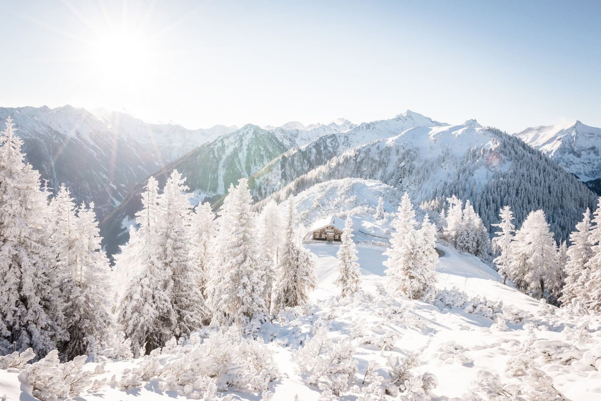
📷 Schladming-Dachstein
Europe
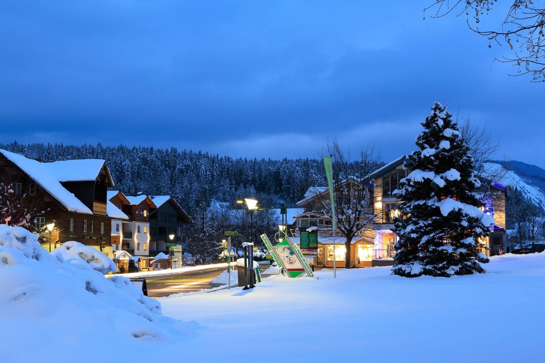
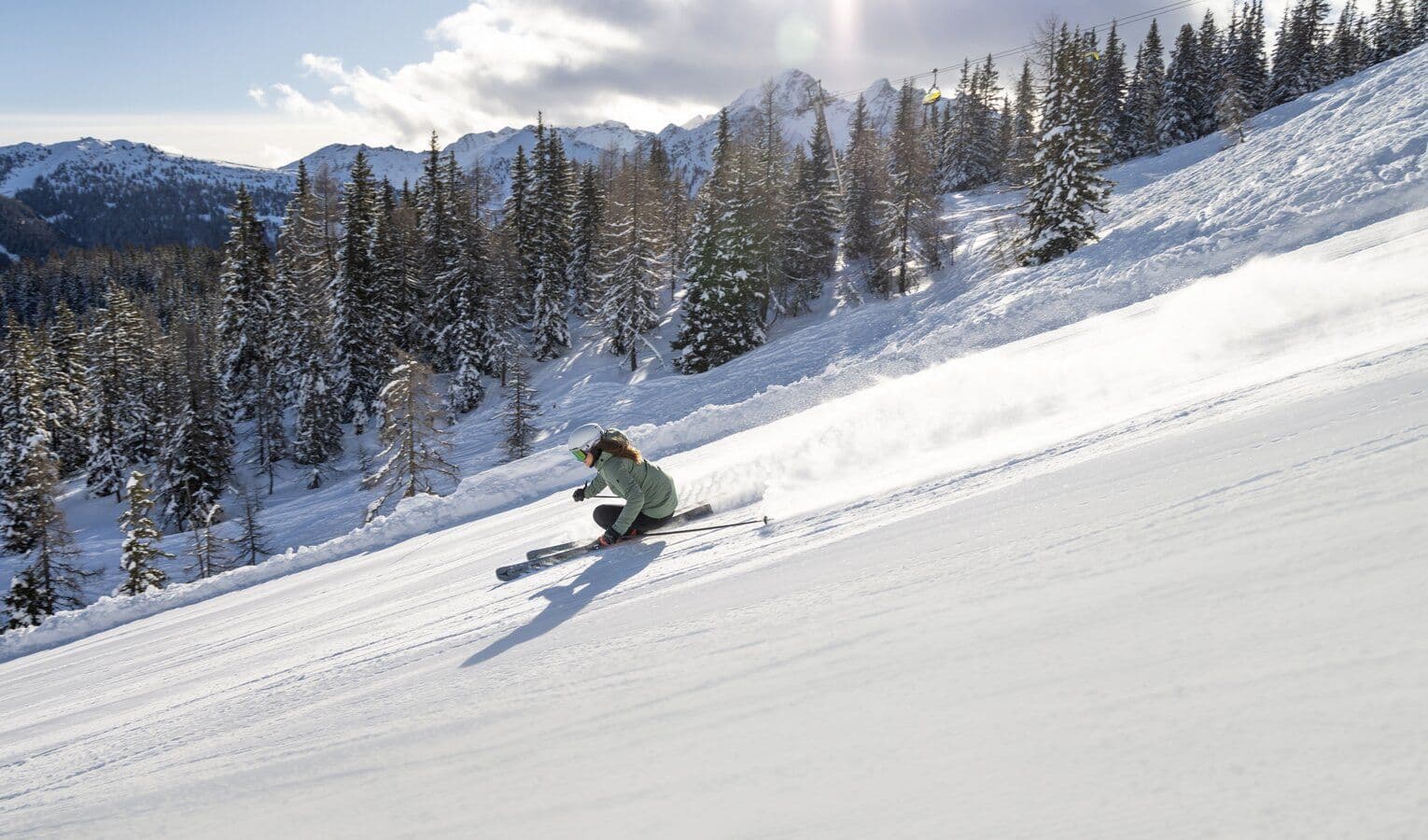
Schladming-Dachstein
Pre-season — not open yet
Projected to open November 29, 2026
Conditions data updated Sat, Jul 4, 04:04 PM UTC · informational only
Scroll for happiness
Closed for Season
Weather data is still collected for informational purposes.
Last Snowfall
Jun 11
Past 24 Hours
0cm
Past 48 Hours
0cm
Past 10 Days
0cm
14-Day Forecast
0cm
Snow Depth
--
Overview
Schladming-Dachstein is a ski resort in Europe, Austria, currently closed for the season (Projected to open November 29, 2026). Today's SnowSure™ Score is 10/100 (Limited). Conditions last updated 2026-07-04 16:04 UTC.
Resort Guide
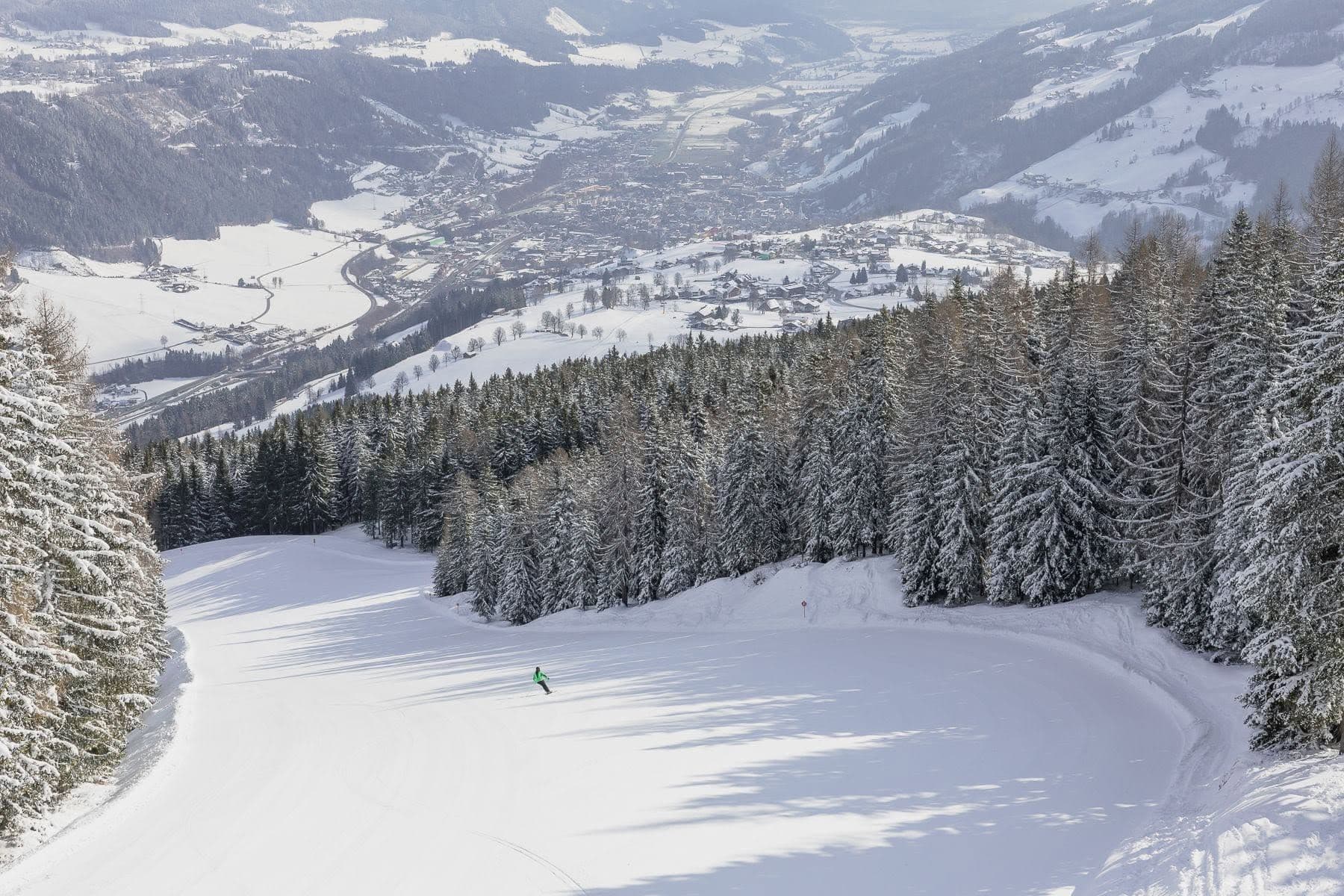
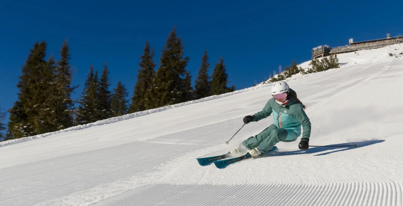
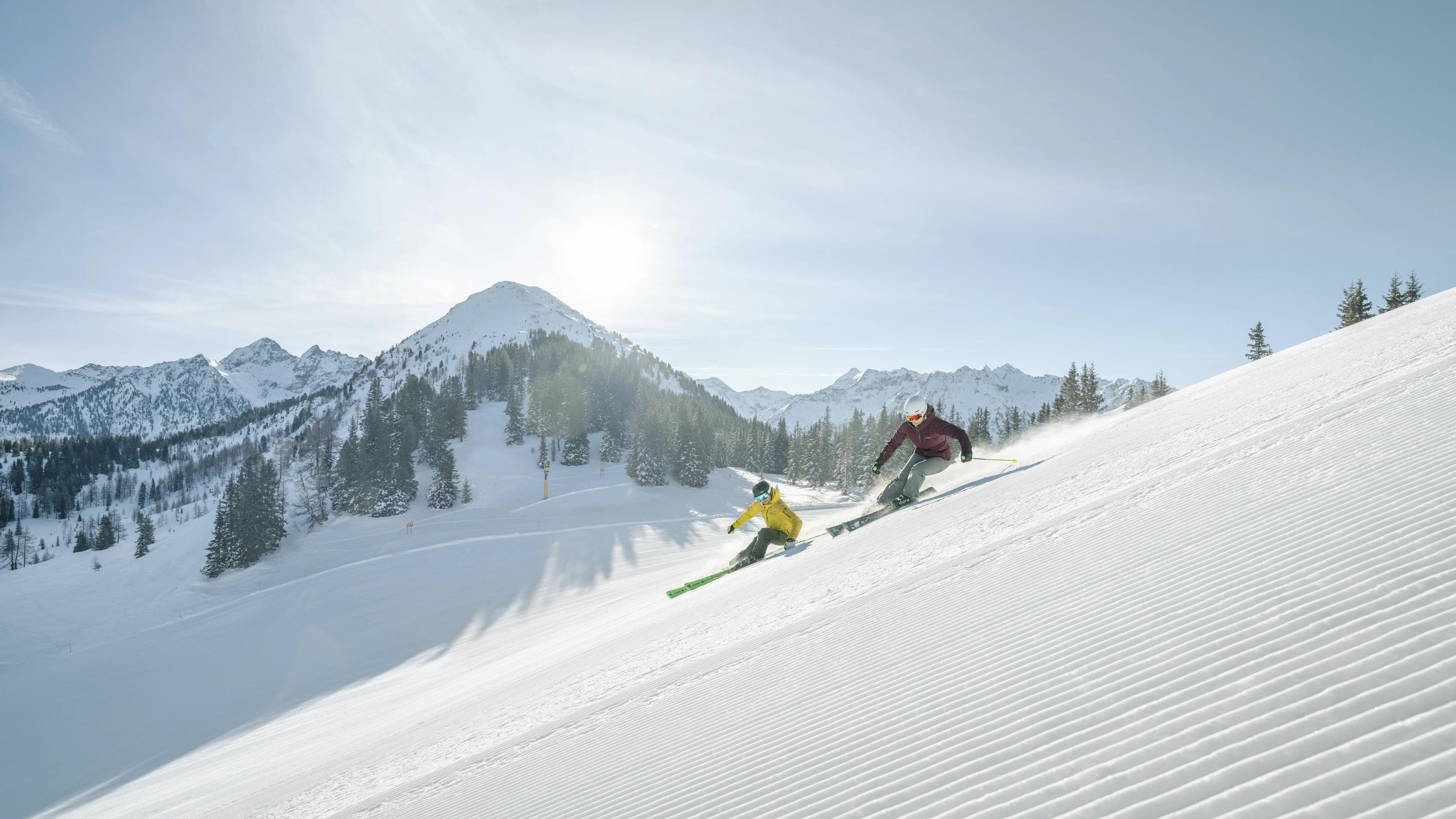
Schladming-Dachstein is a prominent ski region in Styria, Austria, featuring 230 kilometers of slopes across several interconnected ski areas, including the renowned Planai and Hochwurzen mountains. The resort offers a blend of modern lift systems, family-friendly facilities, and a vibrant alpine village atmosphere. Signature experiences include panoramic mountain views, extensive cross-country trails, and a variety of après-ski options, making it suitable for both avid skiers and leisure travelers. Its combination of diverse terrain, reliable snow conditions, and comprehensive amenities distinguishes Schladming-Dachstein as a leading destination in the Austrian Alps.
Gallery
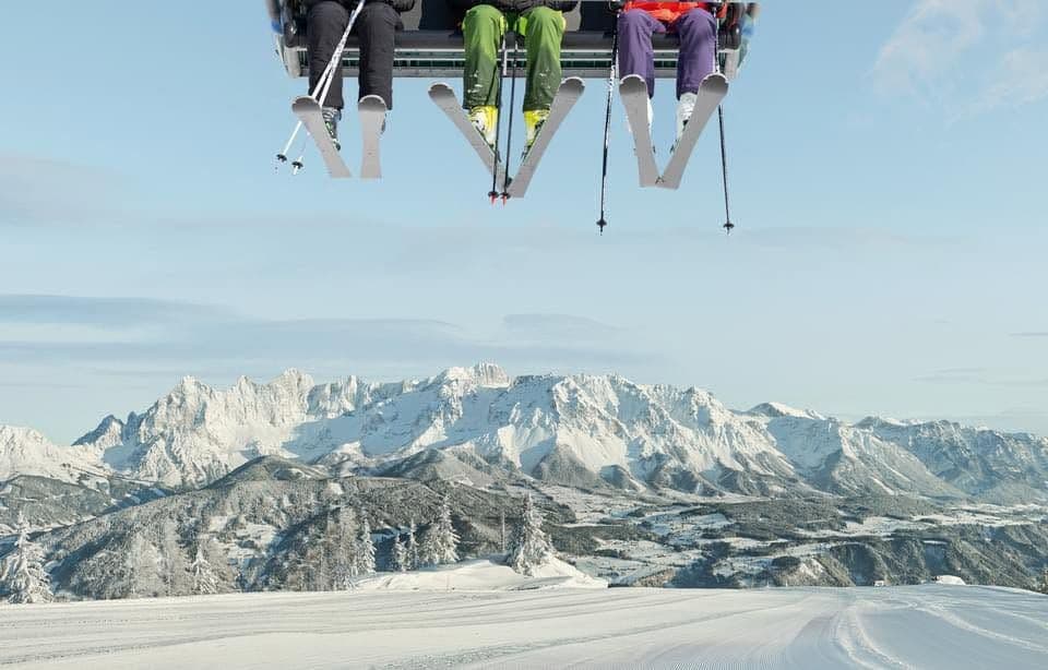
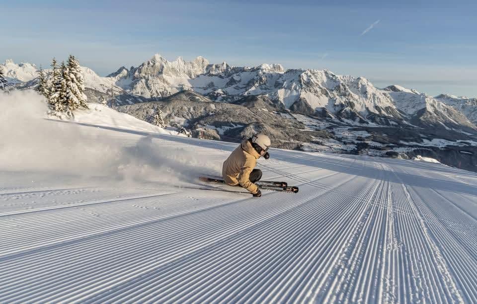
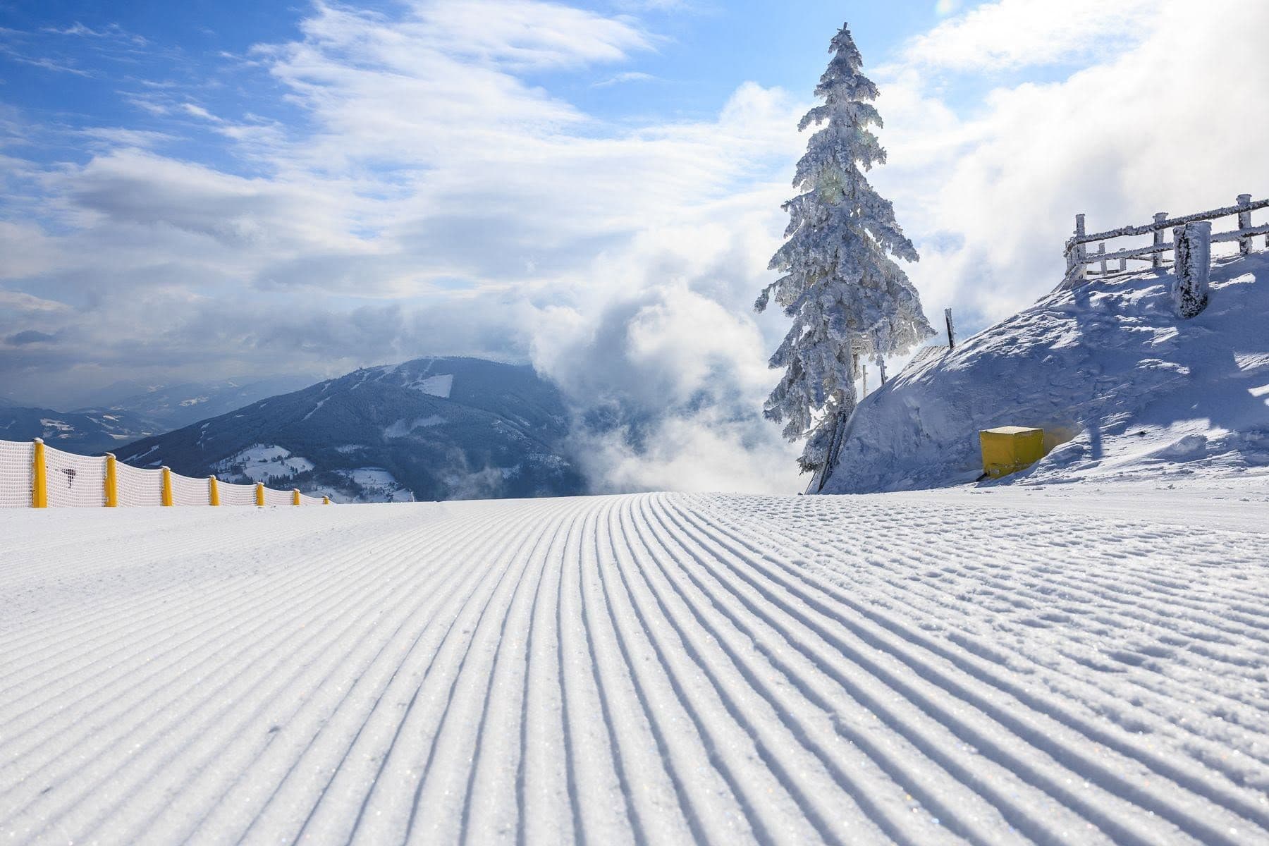
Click to expand • 10 total photos
Terrain & lifts
Resort-reported stats for Schladming-Dachstein
Lifts
99
Skiable area
123 ac
Longest run
7.7 km / 4.8 mi
Snowmaking covers about 97% of terrain.
Resort Info
Season dates
Future dates are operator estimates and may change.
Ski passes
Salzburg Super Ski Card
Access tiers change by season — confirm benefits on the pass operator's site.
Top Après Ski
Hohenhaus Tenne – Renowned as one of the largest après-ski venues in Europe, Hohenhaus Tenne in Schladming offers a vibrant atmosphere with live music, DJs, and energetic crowds, making it a central hub for post-ski celebrations and nightlife near the Planai base station.
Not operating — not open yet
Projected to open November 29, 2026
SnowSure scores and forecasts below are for planning and reference only while the resort is closed.
Depth
Snowpack still building before opening — no base depth yet.
Recent
There has been no new snowfall in the past week.
Forecast
The 14-day outlook indicates a possibility of light snow, which could benefit early season conditions.
Historic
Season-to-date snowfall is not applicable yet, making it too early to judge the season compared to the 5-year average.
Closed for the season · Data updated Sat, Jul 4, 04:04 PM UTC · informational only
Snow Summary
Updated Jul 4, 2026 at 4:04 PM
Historical data from Open-Meteo archive • Forecast from ECMWF IFS model
Snowfall Forecast Maps
The Alps region
Current Conditions
Reported Sat, Jul 4, 04:04 PM UTC
Base
745m
Temp
21.1°C
Wind
12.5km/h
Snow Depth
--
14-Day Forecast
0cm
Mid-Mountain
1723m
Temp
14.7°C
Wind
14km/h
Snow Depth
--
14-Day Forecast
0cm
Summit
2700m
Temp
8.4°C
Wind
12.5km/h
Snow Depth
--
14-Day Forecast
0cm
Live Conditions
Schladming-Dachstein Webcams
Schladming-Dachstein / Feratel
Schladming-Dachstein / Feratel
Schladming-Dachstein / Feratel
Schladming-Dachstein / Feratel
Local Reports
0 reportsDaily Snowfall Forecast by Model
Black line = verified SnowSure™ blend (not a simple average). Weights update weekly from measured snowfall at SNOTEL stations and resort reports.
SnowSure™ blend — verified model weighting
The black line is not a simple average. For Schladming-Dachstein (alps), we combine seven global weather models using weights learned from daily forecast verification — comparing each model's prediction to measured snowfall (SNOTEL, resort reports, ERA5).
- 1.Horizon buckets: days 1–3, 4–7, and 8–14 each get separate weights — short-range skill differs from long-range.
- 2.Regional calibration: weights come from verified error in this geography (Rockies, Alps, Japan, etc.), recalculated weekly.
- 3.Ground truth only: we never grade a forecast against another model — only against measured snow.
Building verification history for this resort.
How we verify forecasts →Hourly Forecast Detail
AM / PM / Night breakdown with wind and freezing level
NWP models refresh up to 4× daily · Last synced Jul 4, 4:04 PM
Today 9 / -2 | Sun, Jul 5 7 / 017.4mm | Mon, Jul 6 6 / 113.8mm | Tue, Jul 7 12 / 0 | Wed, Jul 8 11 / 30.9mm | Thu, Jul 9 12 / 31.5mm | |||||||||||||
|---|---|---|---|---|---|---|---|---|---|---|---|---|---|---|---|---|---|---|
| Period | AM | PM | Night | AM | PM | Night | AM | PM | Night | AM | PM | Night | AM | PM | Night | AM | PM | Night |
| Snow (cm) | 0 | 0 | 0 | 0 | 0 | 0 | 0 | 0 | 0 | 0 | 0 | 0 | 0 | 0 | 0 | 0 | 0 | 0 |
| Precip (mm) | 0 | 0 | 0 | 0 | 8.4 | 9 | 5.7 | 2.7 | 5.4 | 0 | 0 | 0 | 0 | 0.3 | 0.6 | 0.3 | 0.6 | 0.6 |
| Temp (°C) | 5 | 9 | 2 | 5 | 5 | 2 | 2 | 6 | 3 | 6 | 12 | 5 | 7 | 10 | 5 | 6 | 11 | 6 |
| Wind (km/h) | 7 | 13 | 6 | 9 | 7 | 5 | 8 | 10 | 5 | 7 | 12 | 5 | 10 | 13 | 6 | 9 | 13 | 4 |
| Gusts (km/h) | 35 | 52 | 38 | 46 | 51 | 40 | 48 | 51 | 38 | 38 | 48 | 36 | 33 | 37 | 40 | 31 | 39 | 38 |
14-Day Snow Forecast by Model
Summit elevation (2700m)
10-Day Forecast
Today
4
🌤️
9°
-1.6°
14 km/h
Sun
5
🌧️
6.5°
0°
13 km/h
Mon
6
🌧️
6.3°
1.4°
11 km/h
Tue
7
⛅
12.4°
0.2°
13 km/h
Wed
8
🌧️
10.9°
2.5°
14 km/h
Thu
9
🌧️
11.5°
3.4°
15 km/h
Fri
10
🌧️
14.3°
1.7°
7 km/h
Sat
11
🌧️
10.9°
3.1°
5 km/h
Sun
12
🌤️
12.6°
2.2°
9 km/h
Mon
13
🌤️
12.9°
2.9°
9 km/h
Summit elevation (2700m) • ECMWF model
Season vs Historic
Updated Sat, Jul 4, 04:04 PM UTC
0cm
Season Total
This Season to Date
—
vs 5-Year Avg
Off-season · 359cm full-season avg
—
vs 30-Year Avg
Off-season · 359cm full-season avg
359cm
5-Yr Avg by Now
Over the past five years, average seasonal snowfall has slightly exceeded the 30-year average, indicating a modest upward trend. However, the current season's snowfall is significantly below both the 5-year and 30-year averages, at only 69% and 70% of those benchmarks, respectively. This sharp decline follows a period of above-average snowfall, particularly in 2023, which saw an anomalously high total. The recent drop suggests increased variability and highlights the current season as a notable outlier compared to recent historical patterns.
Schladming-Dachstein Snow History
Average annual snowfall is 478cm with an average of 124 snowfall days per season. The table below shows monthly averages across 30 seasons of archive data (modeled snowpack at mid-elevation).
| Month | Avg Snowfall | Snowfall Days | Avg Base Depth | Max Base Depth | Biggest Snowfall |
|---|---|---|---|---|---|
| November | 57.7cm | 15 days | 18cm | 42cm | 13cm |
| December | 72.9cm | 19 days | 53cm | 77cm | 14.5cm |
| January | 72.9cm | 18 days | 86cm | 109cm | 12.5cm |
| February | 72.1cm | 19 days | 111cm | 131cm | 14.8cm |
| March | 74.6cm | 19 days | 122cm | 145cm | 14.8cm |
| April | 44.3cm | 13 days | 103cm | 133cm | 9.7cm |
| May | 24cm | 8 days | 32cm | 77cm | 8cm |
Source: SnowSure archive · Open-Meteo ERA5 reanalysis at mid-elevation. Depth is modeled, not resort-reported.
Season at a Glance
Next season(2026-27)
Opens Nov 29, 2026
Multi-season averages will appear once SnowSure has tracked more than one full season.
Best Months to Visit
February
Peak Season
January
Peak Season
March
Good
December
Good
Note: Based on typical ski season patterns for this region.


