
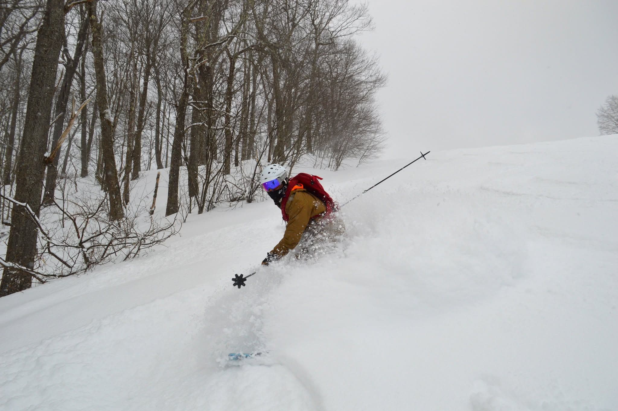
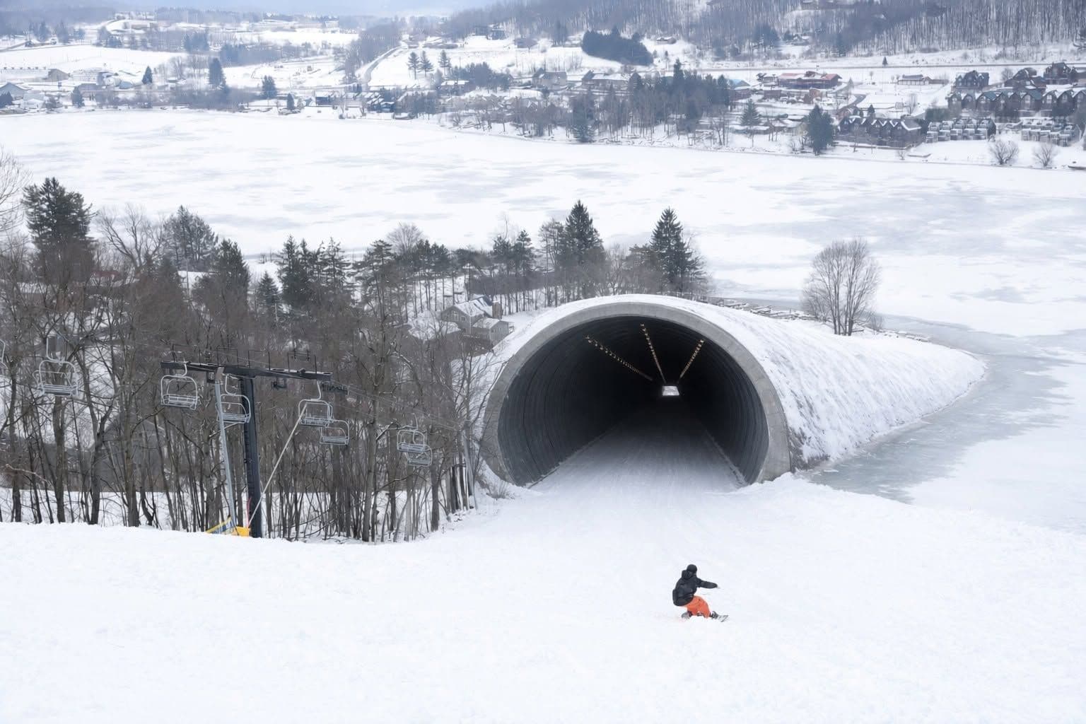
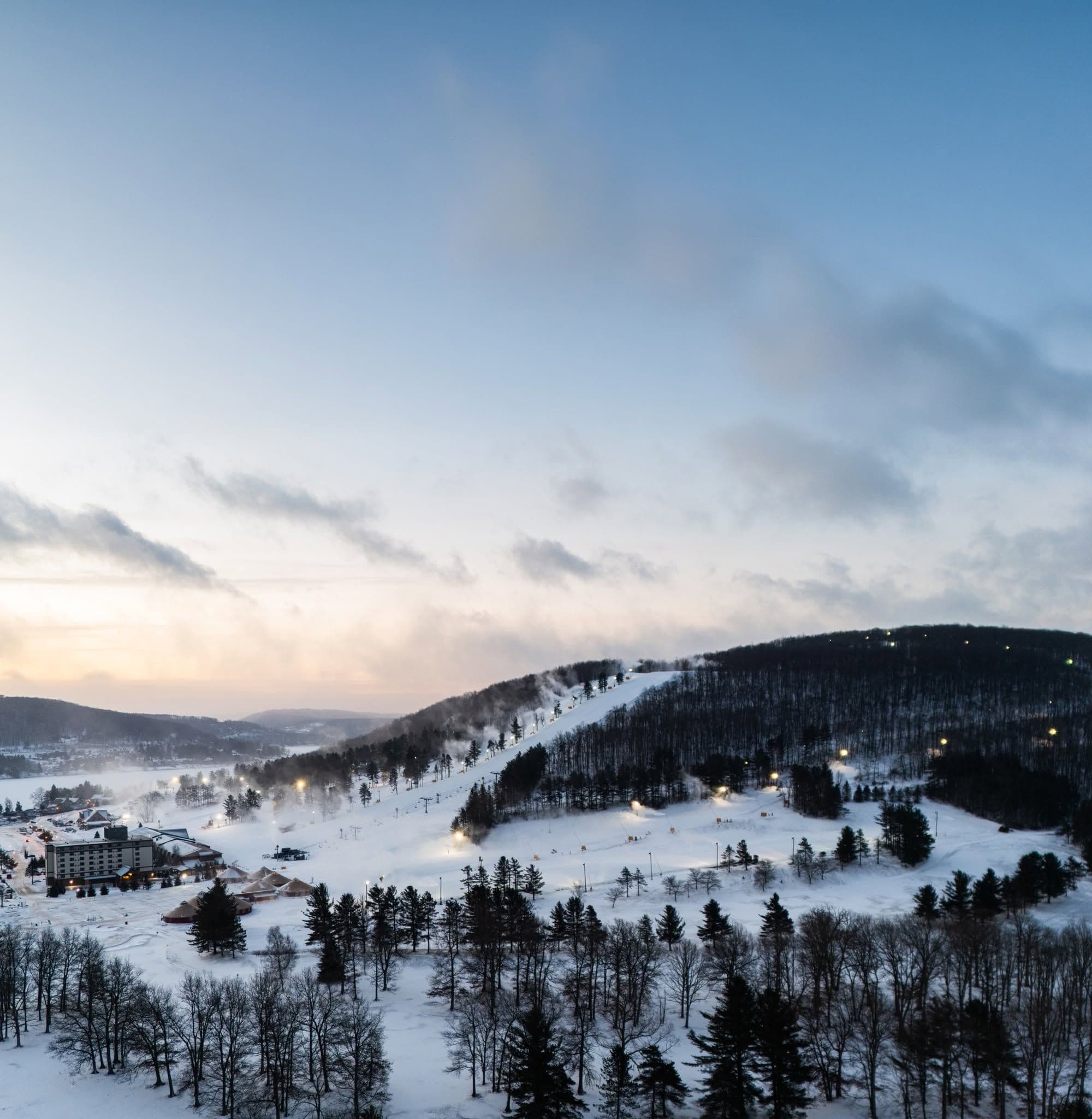
📷 Wisp Resort
North America
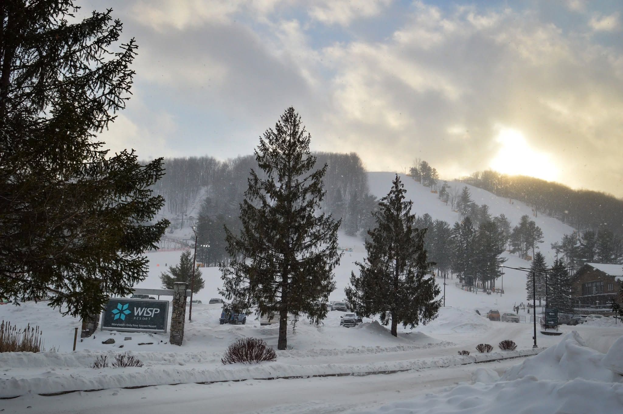
Wisp Resort
Pre-season — not open yet
Projected to open November 29, 2026
Conditions data updated Sat, Jul 4, 04:05 PM UTC · informational only
Scroll for happiness
Closed for Season
Weather data is still collected for informational purposes.
Last Snowfall
--
Past 24 Hours
0cm
Past 48 Hours
0cm
Past 10 Days
0cm
14-Day Forecast
0cm
Snow Depth
--
Overview
Wisp Resort is a ski resort in North America, United States, currently closed for the season (Projected to open November 29, 2026). Today's SnowSure™ Score is 10/100 (Limited). Conditions last updated 2026-07-04 16:05 UTC.
Resort Guide
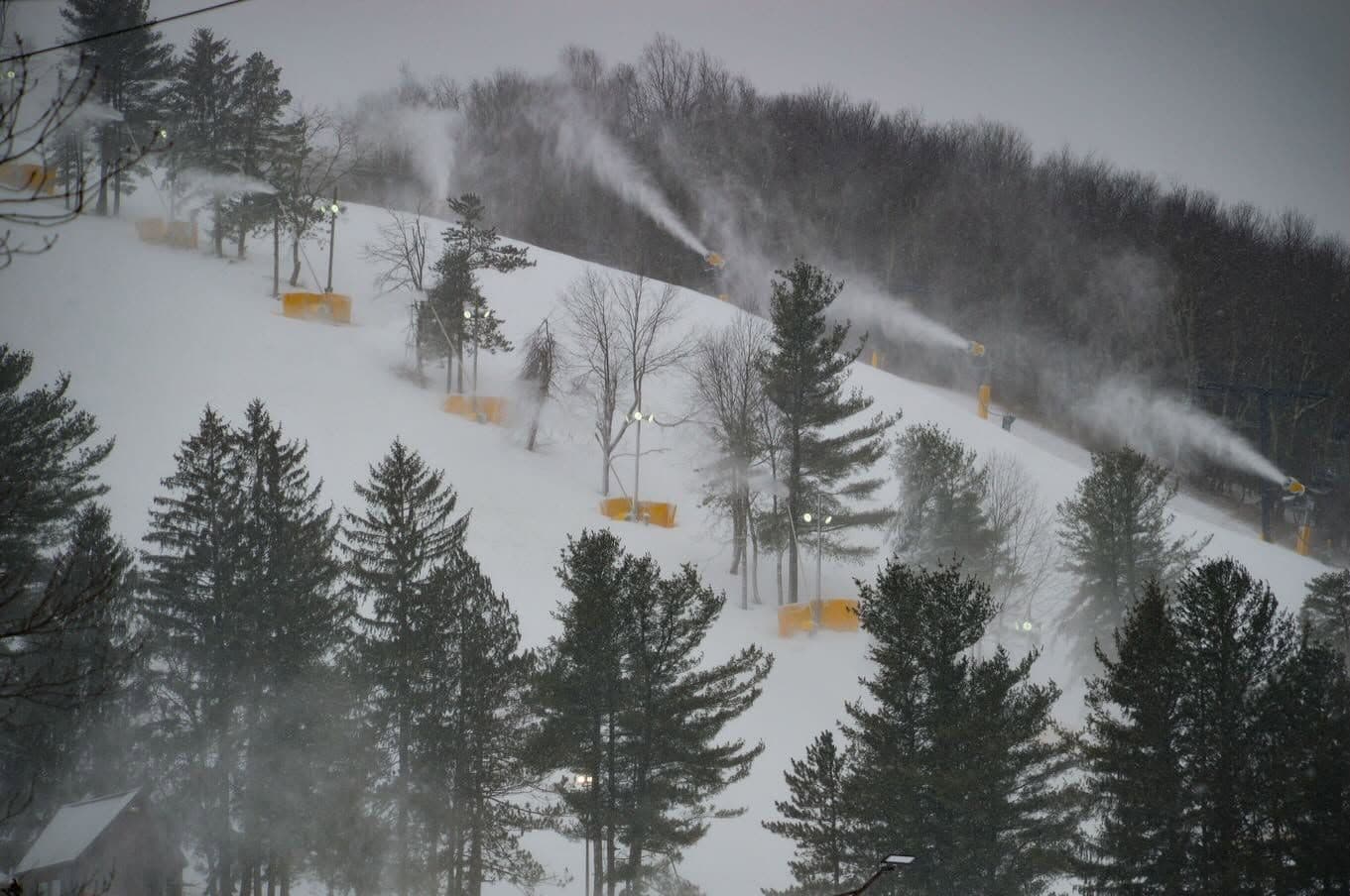
Wisp Resort is located in McHenry, Maryland, near Deep Creek Lake, and features 172 acres of skiable terrain with 33 trails, 12 lifts, and a vertical drop of 700 feet. The resort offers a family-friendly atmosphere with a variety of winter activities including skiing, snowboarding, snow tubing, and a mountain coaster. Key amenities include on-site lodging, dining options, and a full-service rental and retail shop. Wisp Resort stands out for its year-round offerings and convenient access to outdoor recreation in the scenic Appalachian Mountains.
Gallery
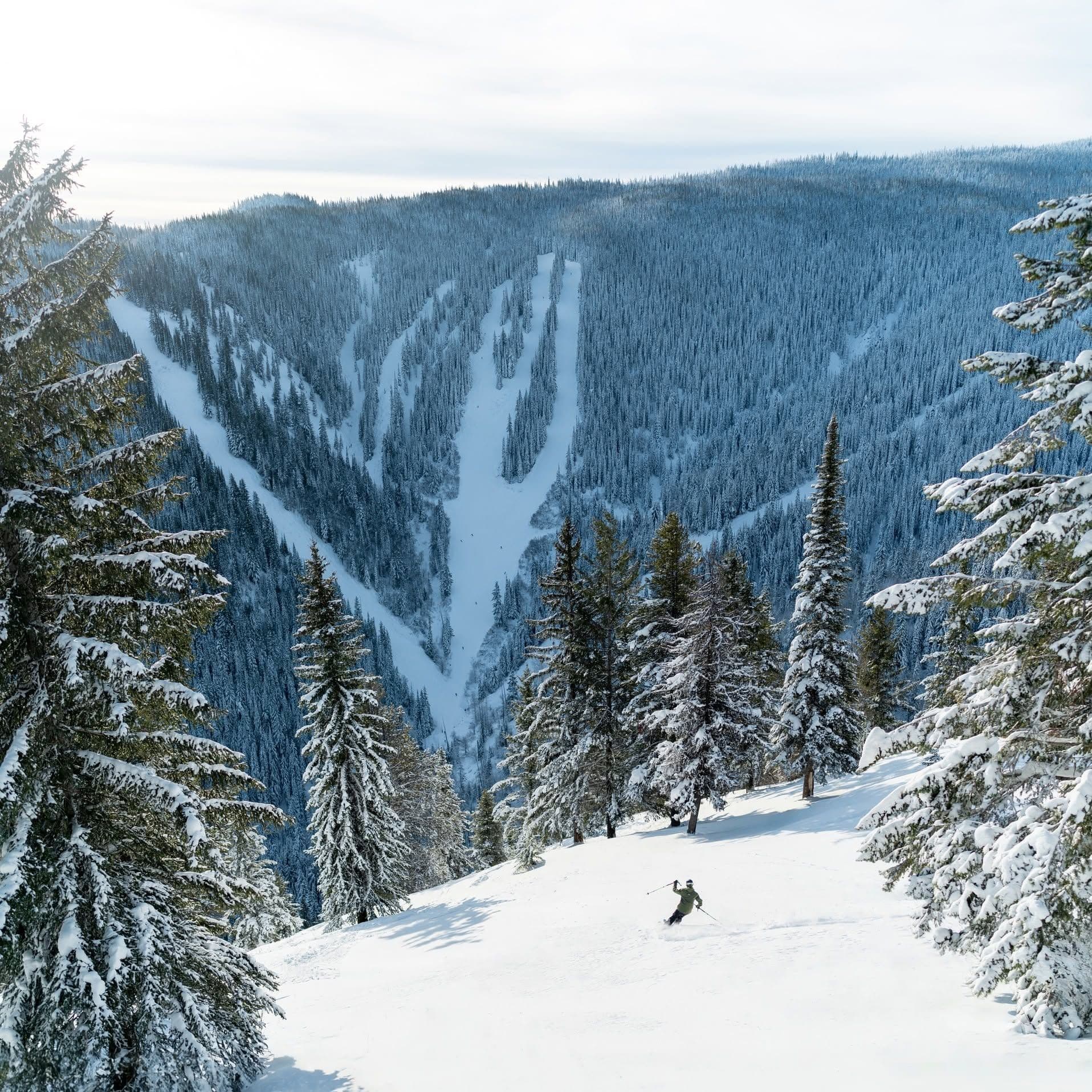
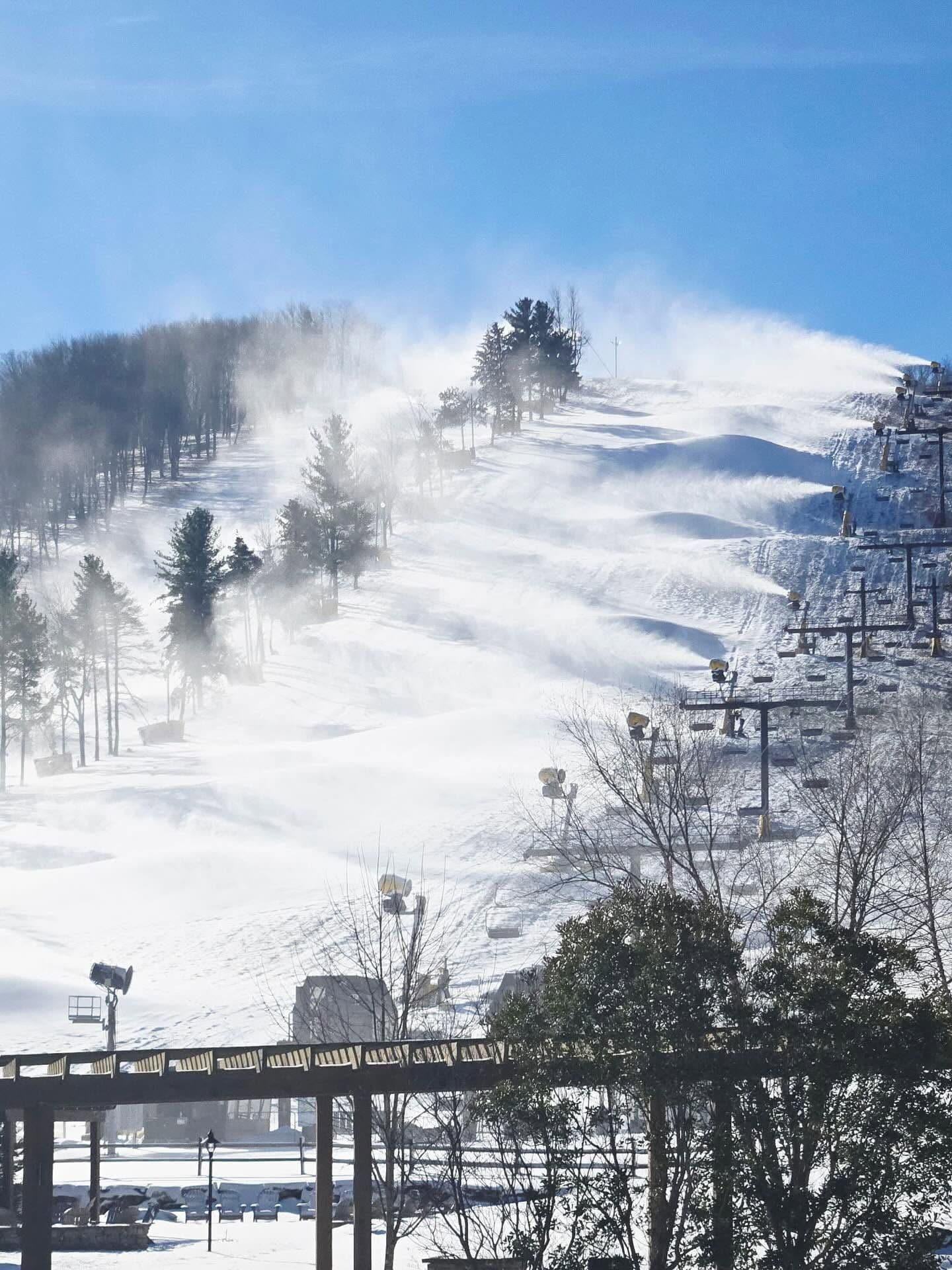
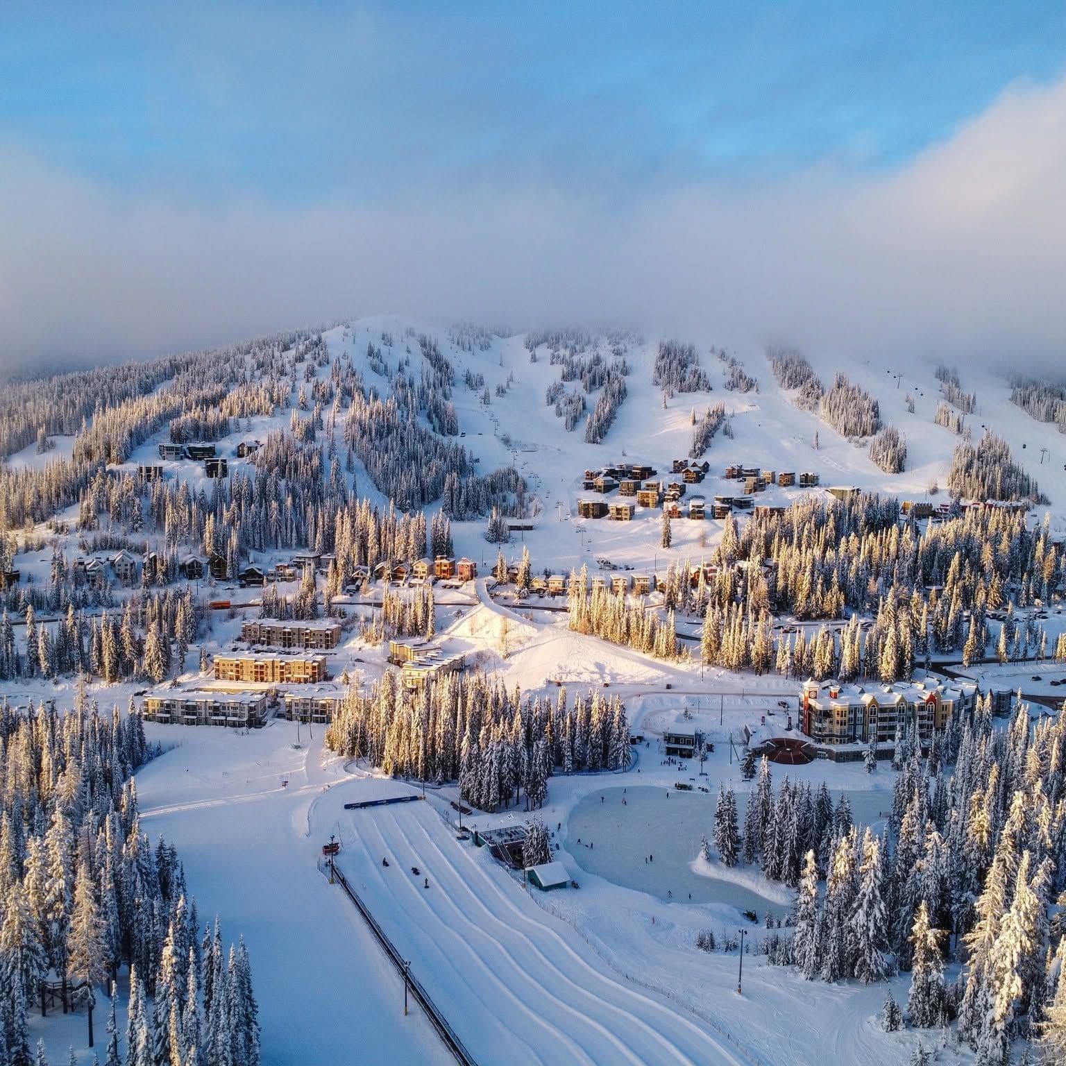
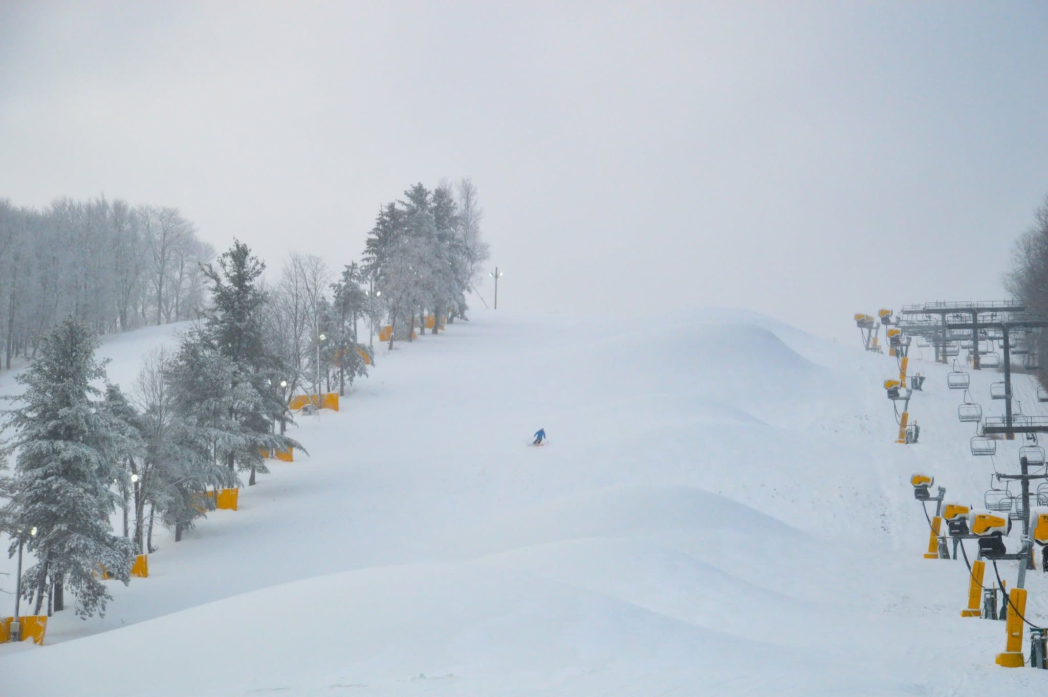
Click to expand • 12 total photos
Terrain & lifts
Resort-reported stats for Wisp Resort
Lifts
12
Skiable area
425 ac
Longest run
2.4 km / 1.5 mi
Runs by difficulty(33 total)
Beginner
9
27% of terrain
Intermediate
14
42% of terrain
Advanced
10
30% of terrain
Run counts estimated from resort-reported totals and terrain mix.
Lift fleet
- Quad chair2
- Triple chair5
- Surface lift5
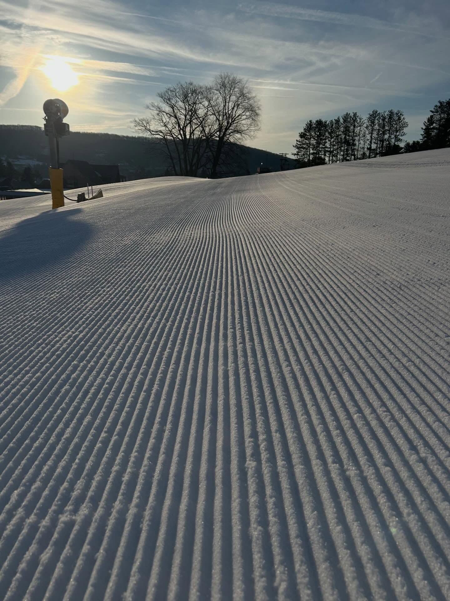
Snowmaking covers about 100% of terrain.
Resort Info
Season dates
Future dates are operator estimates and may change.
Ski passes
Indy Pass
Access tiers change by season — confirm benefits on the pass operator's site.
Top Après Ski
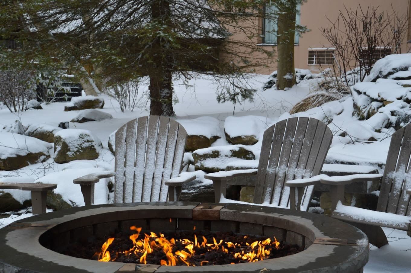
Wispers Bar & Grill – Located at the base of Wisp Resort, Wispers is celebrated for its welcoming après-ski atmosphere, offering craft beers, cocktails, and hearty fare alongside live entertainment and panoramic slope views, making it a favorite gathering spot for skiers and snowboarders to unwind after a day on the mountain.
Not operating — not open yet
Projected to open November 29, 2026
SnowSure scores and forecasts below are for planning and reference only while the resort is closed.
Depth
Snowpack still building before opening — no base depth yet.
Recent
No new snow has been recorded in the past week.
Forecast
The 14-day snow outlook is currently unavailable, but typical early season conditions may prevail.
Historic
It is too early to judge the season as current conditions are in line with the 5-year average to-date.
Closed for the season · Data updated Sat, Jul 4, 04:05 PM UTC · informational only
Snow Summary
Updated Jul 4, 2026 at 4:05 PM
Historical data from Open-Meteo archive • Forecast from ECMWF IFS model
Snowfall Forecast Maps
Mid-Atlantic & Appalachians region
Current Conditions
Reported Sat, Jul 4, 04:05 PM UTC
Base
736m
Temp
28.8°C
Wind
11.9km/h
Snow Depth
--
14-Day Forecast
0cm
Mid-Mountain
843m
Temp
28.1°C
Wind
13km/h
Snow Depth
--
14-Day Forecast
0cm
Summit
950m
Temp
27.4°C
Wind
11.9km/h
Snow Depth
--
14-Day Forecast
0cm
Local Reports
0 reportsDaily Snowfall Forecast by Model
Black line = verified SnowSure™ blend (not a simple average). Weights update weekly from measured snowfall at SNOTEL stations and resort reports.
SnowSure™ blend — verified model weighting
The black line is not a simple average. For Wisp Resort (rockies), we combine seven global weather models using weights learned from daily forecast verification — comparing each model's prediction to measured snowfall (SNOTEL, resort reports, ERA5).
- 1.Horizon buckets: days 1–3, 4–7, and 8–14 each get separate weights — short-range skill differs from long-range.
- 2.Regional calibration: weights come from verified error in this geography (Rockies, Alps, Japan, etc.), recalculated weekly.
- 3.Ground truth only: we never grade a forecast against another model — only against measured snow.
Building verification history for this resort.
How we verify forecasts →Hourly Forecast Detail
AM / PM / Night breakdown with wind and freezing level
NWP models refresh up to 4× daily · Last synced Jul 4, 4:05 PM
Today 29 / 192.1mm | Sun, Jul 5 27 / 1915mm | Mon, Jul 6 23 / 1913.2mm | Tue, Jul 7 22 / 186.3mm | Wed, Jul 8 23 / 183.3mm | Thu, Jul 9 22 / 189mm | |||||||||||||
|---|---|---|---|---|---|---|---|---|---|---|---|---|---|---|---|---|---|---|
| Period | AM | PM | Night | AM | PM | Night | AM | PM | Night | AM | PM | Night | AM | PM | Night | AM | PM | Night |
| Snow (cm) | 0 | 0 | 0 | 0 | 0 | 0 | 0 | 0 | 0 | 0 | 0 | 0 | 0 | 0 | 0 | 0 | 0 | 0 |
| Precip (mm) | 0 | 0 | 2.1 | 0 | 12.3 | 2.7 | 0.3 | 8.7 | 4.2 | 1.2 | 3.9 | 1.2 | 0.9 | 1.5 | 0.9 | 1.8 | 6.3 | 0.9 |
| Temp (°C) | 23 | 28 | 21 | 22 | 25 | 20 | 20 | 21 | 19 | 20 | 22 | 19 | 19 | 22 | 19 | 19 | 21 | 18 |
| Wind (km/h) | 9 | 13 | 9 | 3 | 3 | 7 | 7 | 6 | 10 | 4 | 7 | 3 | 6 | 8 | 9 | 9 | 15 | 11 |
| Gusts (km/h) | 22 | 33 | 22 | 12 | 21 | 17 | 19 | 21 | 22 | 12 | 20 | 13 | 28 | 28 | 25 | 19 | 27 | 25 |
14-Day Snow Forecast by Model
Summit elevation (950m)
10-Day Forecast
Today
4
⛈️
29°
19.1°
14 km/h
Sun
5
⛈️
27.2°
18.7°
13 km/h
Mon
6
⛈️
22.6°
18.5°
14 km/h
Tue
7
🌧️
22.4°
18°
9 km/h
Wed
8
🌧️
23°
18.3°
10 km/h
Thu
9
🌦️
21.9°
17.5°
18 km/h
Fri
10
🌧️
23.4°
18.4°
21 km/h
Sat
11
🌧️
21.2°
17.7°
17 km/h
Sun
12
🌧️
23.6°
17.7°
13 km/h
Mon
13
🌧️
24.4°
16.9°
11 km/h
Summit elevation (950m) • ECMWF model
Season vs Historic
Updated Sat, Jul 4, 04:05 PM UTC
0cm
Season Total
This Season to Date
—
vs 5-Year Avg
Off-season · 103cm full-season avg
—
vs 30-Year Avg
Off-season · 103cm full-season avg
103cm
5-Yr Avg by Now
Over the past five years, average seasonal snowfall has increased to 132.8 cm, exceeding the 30-year average of 118.4 cm by 12%. The current season's snowfall is nearly equal to the recent 5-year average and 11% above the long-term norm, indicating a period of above-average snowfall. Notably, snowfall peaked in 2020 at 164.6 cm, followed by a dip in 2022, but overall variability remains moderate. This suggests a recent upward trend in snowfall compared to historical patterns.
Wisp Resort Snow History
Average annual snowfall is 79cm with an average of 44 snowfall days per season. The table below shows monthly averages across 30 seasons of archive data (modeled snowpack at mid-elevation).
| Month | Avg Snowfall | Snowfall Days | Avg Base Depth | Max Base Depth | Biggest Snowfall |
|---|---|---|---|---|---|
| November | 4.2cm | 4 days | 2cm | 7cm | 2.6cm |
| December | 15.2cm | 9 days | 6cm | 14cm | 6.6cm |
| January | 23.9cm | 12 days | 11cm | 26cm | 10.5cm |
| February | 15.8cm | 9 days | 15cm | 29cm | 6.6cm |
| March | 13.5cm | 7 days | 6cm | 19cm | 6.6cm |
| April | 4.7cm | 3 days | 1cm | 6cm | 3.8cm |
| May | 0.3cm | 0 days | 0cm | 2cm | 1.1cm |
Source: SnowSure archive · Open-Meteo ERA5 reanalysis at mid-elevation. Depth is modeled, not resort-reported.
Season at a Glance
Next season(2026-27)
Opens Nov 29, 2026
Multi-season averages will appear once SnowSure has tracked more than one full season.
Best Months to Visit
February
Peak Season
January
Peak Season
March
Good
December
Good
Note: Based on typical ski season patterns for this region.


