
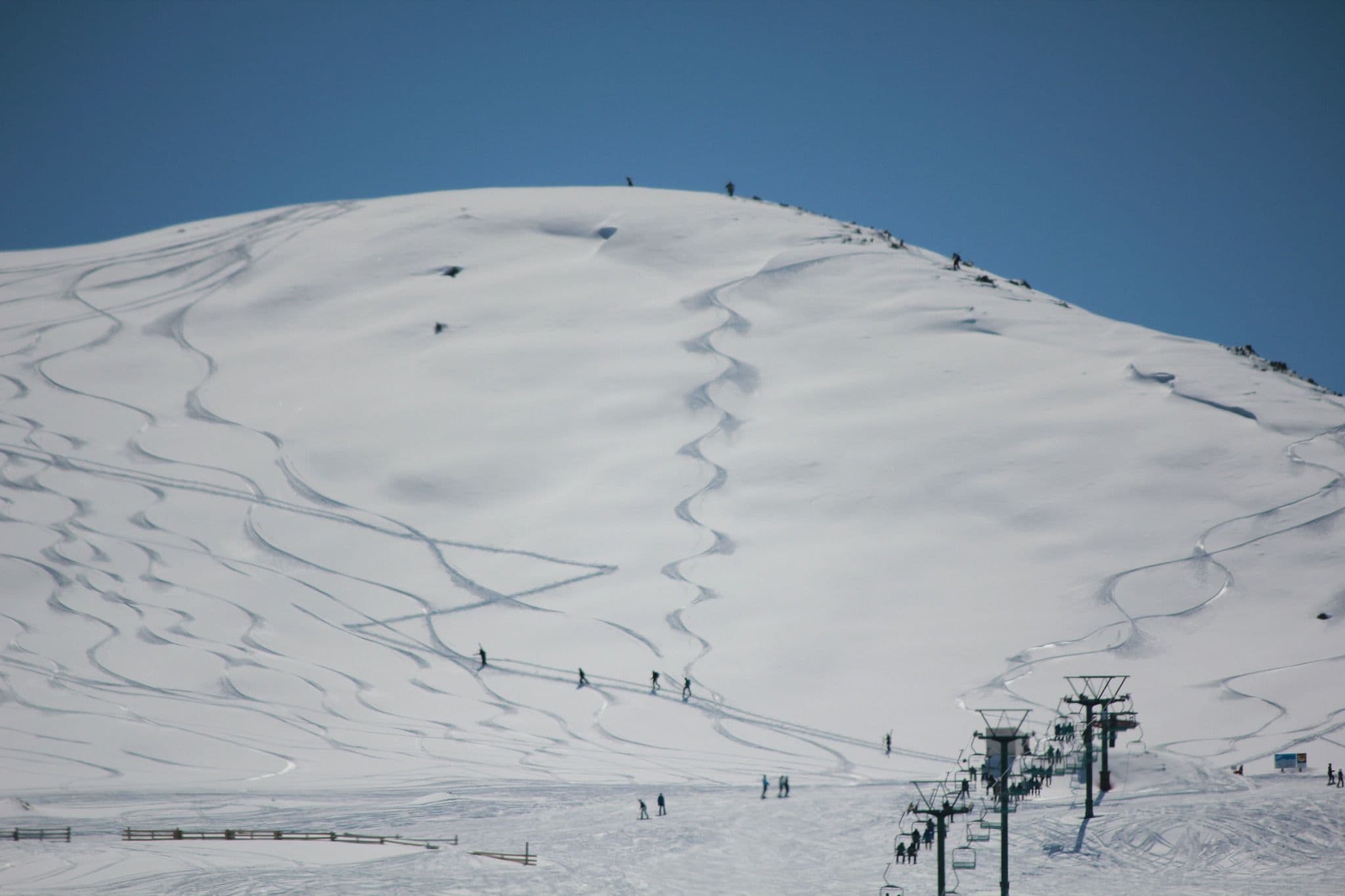
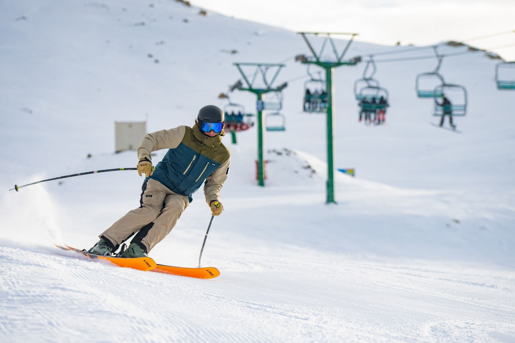
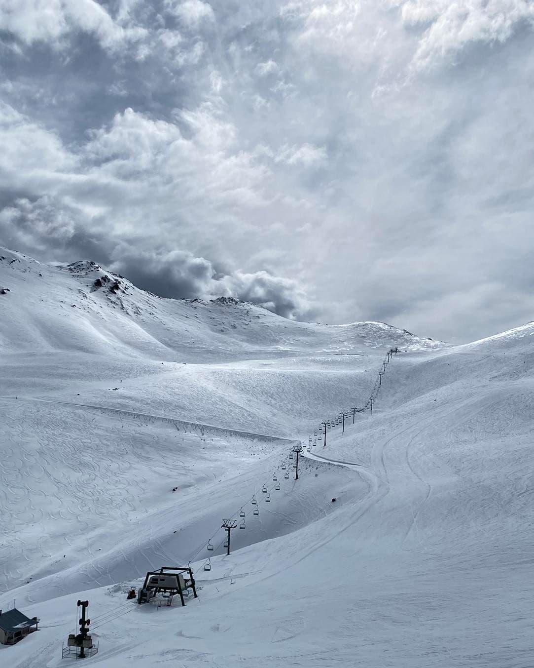
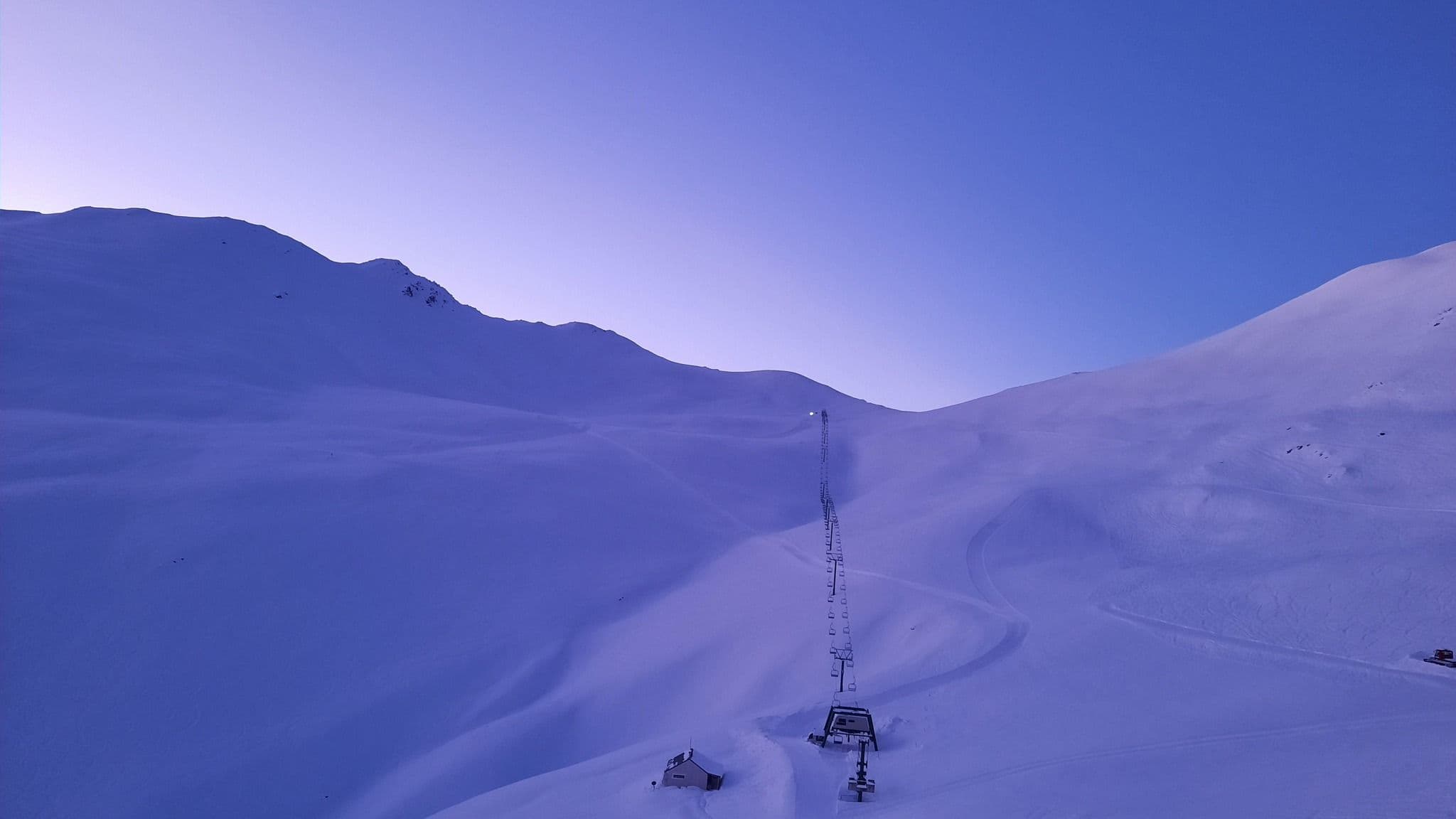
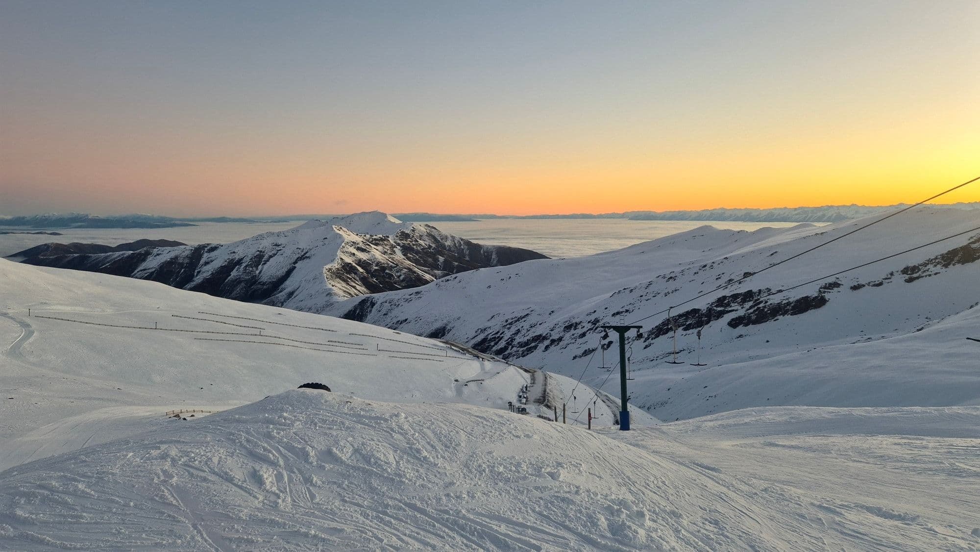
📷 Mt Dobson
Oceania
Mt Dobson
Solid
→stable
Scroll for happiness
Last Snowfall
Jul 15
1d agoPast 24 Hours
0cm
Past 48 Hours
0.9cm
Past 10 Days
55.9cm
14-Day Forecast
7.2cm
Snow Depth
40cm
Powder Days
10
2026 season
Overview
Mt Dobson is a ski resort in Oceania, New Zealand. Today's SnowSure™ Score is 38/100 (Solid), snow base 40 cm (15.7 in), 3 cm (1.2 in) of snow in the last 7 days. The 14-day ensemble forecast across seven weather models (ECMWF, GFS, GEM, JMA, ICON, Météo-France, Met Norway) calls for ~7 cm (2.8 in) of new snow. Conditions last updated 2026-07-16 21:03 UTC.
Resort Guide
Mt Dobson is a ski resort located in the Mackenzie District of New Zealand’s South Island, offering expansive terrain across 400 hectares with elevations ranging from 1,692 to 2,030 meters. The resort is known for its wide-open slopes, uncrowded atmosphere, and natural snow, catering to beginners, intermediates, and advanced skiers and snowboarders. Key amenities include a large day lodge, equipment rentals, and a ski school, with the resort’s relaxed vibe and panoramic alpine views distinguishing it as a welcoming destination for families and groups.
Gallery
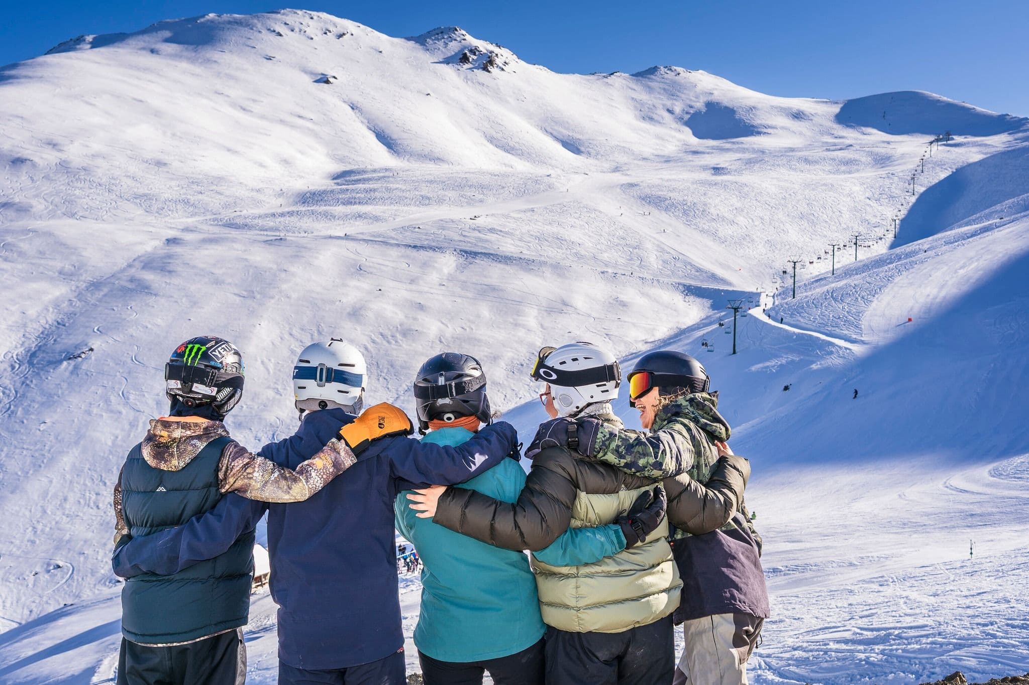
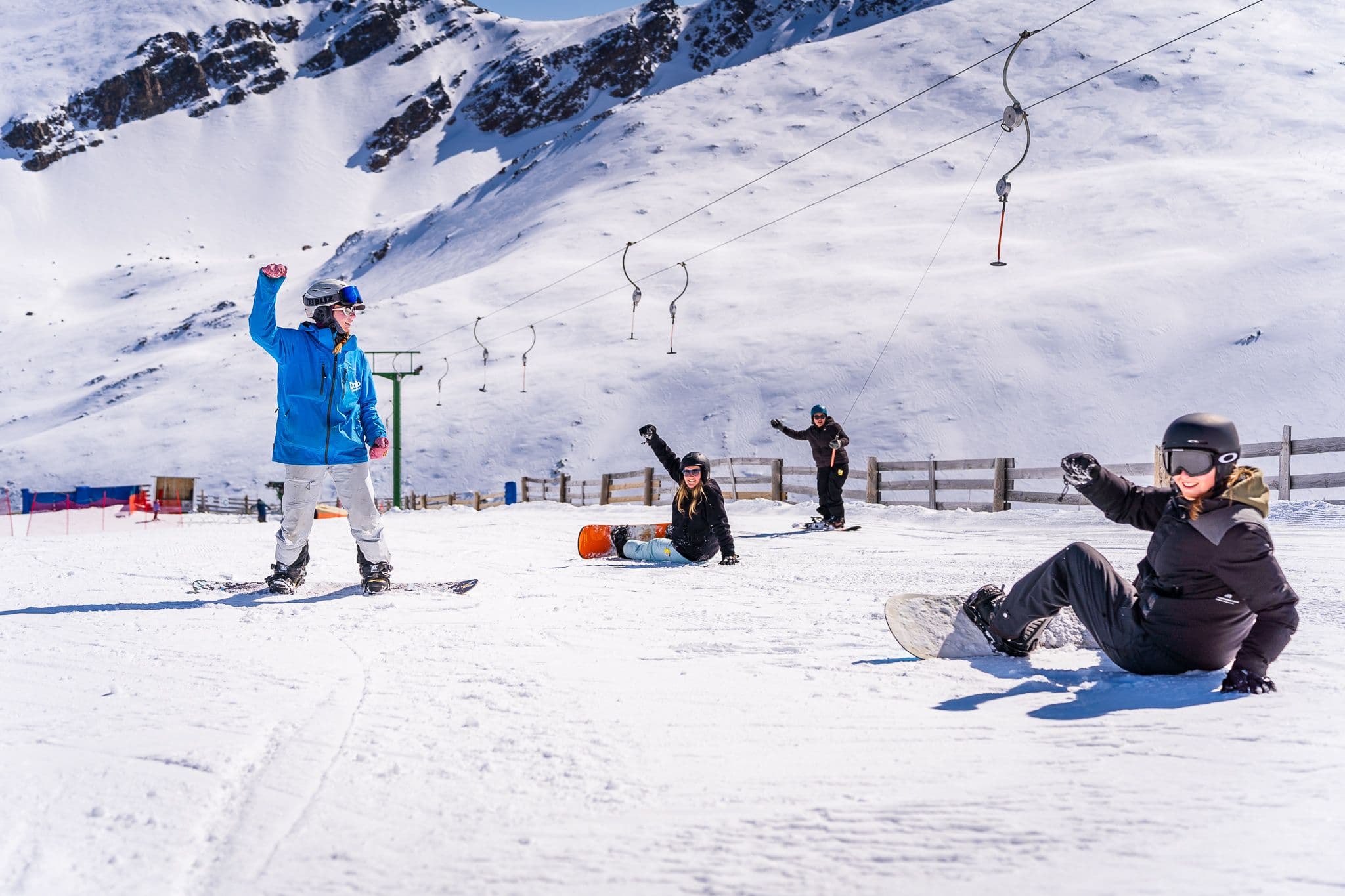
Click to expand • 9 total photos
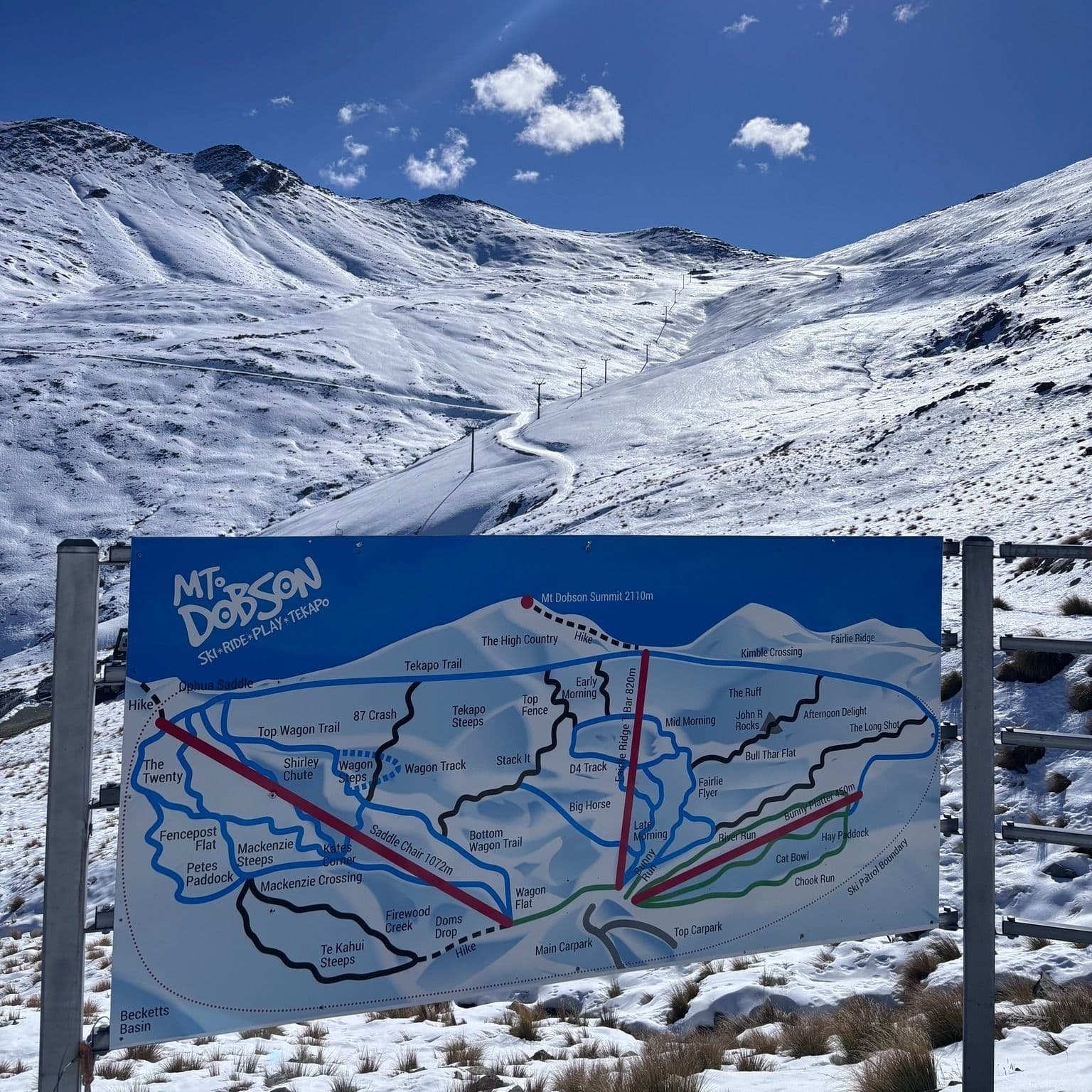
Terrain & lifts
Resort-reported stats for Mt Dobson
Lifts
4
Skiable area
988 ac
Longest run
2.5 km / 1.6 mi
Runs by difficulty(14 total)
Beginner
4
25% of terrain
Intermediate
7
50% of terrain
Advanced
3
25% of terrain
Run counts estimated from resort-reported totals and terrain mix.
Lift fleet
- Triple chair1
- Surface lift3
Resort Info
Season dates
Future dates are operator estimates and may change.
Ski passes
No ski pass found
Access tiers change by season — confirm benefits on the pass operator's site.
Top Après Ski
Unable to determine top apres ski place for this resort.
Good conditions - book with confidence.
Mt Dobson is currently experiencing clear skies with a temperature of -9°C and a snow depth of 40cm. Over the past week, 3cm of new snow has fallen, contributing to a season total of 85cm, which is 141% of the 5-year average for this time of year.
AI-generated summaryDepth
40cm depth — good coverage on most runs.
Recent
In the last 7 days, 4cm of snow has fallen, with 2cm reported in the past 24 hours.
Forecast
The 14-day snow outlook suggests an average of 10cm, with potential variability between forecasts ranging from 6cm to 25cm.
Historic
This season's snow total of 85cm is 141% of the 5-year average of 60cm for this date.
Data updated Thu, Jul 16, 09:03 PM UTC
Snow Summary
Updated Jul 16, 2026 at 9:03 PM
Historical data from Open-Meteo archive • Forecast from ECMWF IFS model
Snowfall Forecast Maps
New Zealand region
Current Conditions
Reported Thu, Jul 16, 09:03 PM UTC
Depth by source
every reading we have- Resort ReportedBase 40cm · Mid 65cm · Summit 90cm
- Open-MeteoBase 64cm · Summit 64cm
The headline depth uses the most trusted available source. We show every reading so you can judge for yourself.
Freezing Level
587m
❄️ Below base - cold & dry snow expected
Base
1725m
Temp
-7.4°C
Wind
6.1km/h
Snow Depth
40cm
Resort reported
Resort 40cm · Model 64cm
14-Day Forecast
13.6cm
Mid-Mountain
1878m
Temp
--°C
Wind
7km/h
Snow Depth
65cm
Resort reported
14-Day Forecast
7.2cm
Summit
2030m
Temp
-9.4°C
Wind
6.1km/h
Snow Depth
40cm
Resort reported
Resort 90cm · Model 64cm
14-Day Forecast
13.7cm
Ops signals
- ●Freezing level below base — snowmaking window open
- ●Cold summit temps — snow preservation favorable
Lifts Open
open
Runs Open
open
Local Reports
0 reportsDaily Snowfall Forecast by Model
Black line = verified SnowSure™ blend (not a simple average). Weights update weekly from measured snowfall at SNOTEL stations and resort reports.
SnowSure™ blend — verified model weighting
The black line is not a simple average. For Mt Dobson (southern alps), we combine seven global weather models using weights learned from daily forecast verification — comparing each model's prediction to measured snowfall (SNOTEL, resort reports, ERA5).
- 1.Horizon buckets: days 1–3, 4–7, and 8–14 each get separate weights — short-range skill differs from long-range.
- 2.Regional calibration: weights come from verified error in this geography (Rockies, Alps, Japan, etc.), recalculated weekly.
- 3.Ground truth only: we never grade a forecast against another model — only against measured snow.
Building verification history for this resort.
How we verify forecasts →Hourly Forecast Detail
AM / PM / Night breakdown with wind and freezing level
NWP models refresh up to 4× daily · Last synced Jul 16, 9:03 PM
Fri, Jul 17 -2 / -11 | Sat, Jul 18 -4 / -13 | Sun, Jul 19 -3 / -8 | Mon, Jul 20 -4 / -100.6cm0.9mm | Tue, Jul 21 -3 / -11 | Wed, Jul 22 -4 / -11 | |||||||||||||
|---|---|---|---|---|---|---|---|---|---|---|---|---|---|---|---|---|---|---|
| Period | AM | PM | Night | AM | PM | Night | AM | PM | Night | AM | PM | Night | AM | PM | Night | AM | PM | Night |
| Snow (cm) | 0 | 0 | 0 | 0 | 0 | 0 | 0 | 0 | 0 | 0.1 | 0 | 0.5 | 0 | 0 | 0 | 0 | 0 | 0 |
| Precip (mm) | 0 | 0 | 0 | 0 | 0 | 0 | 0 | 0 | 0 | 0.2 | 0 | 0.7 | 0 | 0 | 0 | 0 | 0 | 0 |
| Temp (°C) | -9 | -3 | -9 | -11 | -4 | -9 | -7 | -4 | -6 | -4 | -5 | -6 | -9 | -4 | -8 | -10 | -5 | -8 |
| Wind (km/h) | 6 | 6 | 5 | 5 | 7 | 6 | 3 | 2 | 3 | 3 | 3 | 2 | 4 | 4 | 4 | 2 | 3 | 4 |
| Gusts (km/h) | 22 | 24 | 21 | 21 | 29 | 26 | 14 | 9 | 14 | 8 | 9 | 10 | 11 | 12 | 10 | 17 | 13 | 15 |
14-Day Snow Forecast by Model
Summit elevation (2030m)
10-Day Forecast
Fri
17
🌤️
-2.3°
-10.9°
7 km/h
Sat
18
☁️
-3.8°
-12.9°
9 km/h
Sun
19
☁️
-3°
-8°
6 km/h
Mon
20
❄️
-3.9°
-9.7°
0.8cm
4 km/h
Tue
21
☁️
-3.5°
-10.8°
4 km/h
Wed
22
☁️
-3.8°
-11.3°
5 km/h
Thu
23
❄️
-1.8°
-6.7°
8.8cm
10 km/h
Fri
24
❄️
-6.2°
-11.5°
0.8cm
6 km/h
Sat
25
❄️
-4.3°
-10.4°
0.4cm
8 km/h
Sun
26
❄️
-7°
-13.3°
0.4cm
3 km/h
Summit elevation (2030m) • ECMWF model
Season vs Historic
Updated Thu, Jul 16, 09:03 PM UTC
84.7cm
Season Total
This Season to Date
+41%
vs 5-Year Avg
60cm avg by now
+41%
vs 30-Year Avg
60cm avg by now
60cm
5-Yr Avg by Now
Snowfall over the past five years has averaged 68.2 cm, nearly doubling the 30-year average of 36.2 cm, indicating a significant upward trend in recent seasons. The 2024 season stands out with 132.1 cm, almost four times the 30-year average and well above the recent 5-year mean, marking it as a substantial anomaly. Despite this, the 2023 and 2022 seasons were notably below both short- and long-term averages, highlighting considerable year-to-year variability. Overall, recent data suggests increased snowfall with pronounced fluctuations and occasional extreme seasons.
Mt Dobson Snow History
Average annual snowfall is 118cm with an average of 39 snowfall days per season. The table below shows monthly averages across 31 seasons of archive data (modeled snowpack at mid-elevation).
| Month | Avg Snowfall | Snowfall Days | Avg Base Depth | Max Base Depth | Biggest Snowfall |
|---|---|---|---|---|---|
| June | 22.8cm | 7 days | 11cm | 22cm | 10.7cm |
| July | 32.8cm | 9 days | 22cm | 35cm | 12.8cm |
| August | 23.4cm | 9 days | 26cm | 38cm | 9.2cm |
| September | 16.3cm | 7 days | 10cm | 24cm | 8.3cm |
| October | 16.9cm | 6 days | 2cm | 12cm | 8.4cm |
Source: SnowSure archive · Open-Meteo ERA5 reanalysis at mid-elevation. Depth is modeled, not resort-reported.
Season at a Glance
Next season(2026)
Opens Jul 10, 2026
Through Oct 4, 2026
Multi-season averages will appear once SnowSure has tracked more than one full season.
Best Months to Visit
August
Peak Season
July
Peak Season
September
Good
June
Good
Note: Based on typical ski season patterns for this region.


