Mt Hutt ski resort

📷 Mt Hutt

Oceania

Mt Hutt

55

Excellent

stable

Last Snowfall

Jul 14

today

Past 24 Hours

1cm

Past 48 Hours

3.2cm

Past 10 Days

97cm

14-Day Forecast

10.7cm

Snow Depth

78cm

🎿

Powder Days

8

2026 season

Updated: Jul 14, 5:03 AMWeather at base: 1500m

Overview

Mt Hutt is a ski resort in Oceania, New Zealand. Today's SnowSure™ Score is 55/100 (Excellent), snow base 78 cm (30.7 in), 1 cm (0.4 in) of new snow in the last 24 hours. The 14-day ensemble forecast across seven weather models (ECMWF, GFS, GEM, JMA, ICON, Météo-France, Met Norway) calls for ~11 cm (4.3 in) of new snow. Conditions last updated 2026-07-14 05:03 UTC.

Resort Guide

Mt Hutt is a prominent ski resort located in the Canterbury region of New Zealand’s South Island, offering expansive terrain with wide-open runs and reliable snowfall. The resort features a variety of trails suitable for all abilities, a dedicated learning area, and modern facilities including on-mountain dining and equipment rentals. Known for its friendly atmosphere and panoramic views across the Southern Alps, Mt Hutt stands out for its long ski season and award-winning guest experience.

Resort Info

Summit2086m
Base1500m
Vertical586m
Lifts0/5
Runs0/33
Skiable Area902 acres
Average snowfall150 inches / 381 cm
CountryNew Zealand

Season dates

OpenedJune 27, 2026
Projected closingSeptember 20, 2026

Future dates are operator estimates and may change.

Ski passes

Access tiers change by season — confirm benefits on the pass operator's site.

Top Après Ski

The Blue Pub – A legendary après-ski spot in Methven, The Blue Pub is celebrated for its welcoming atmosphere, live music, hearty pub fare, and vibrant crowd of skiers and locals, making it the go-to venue for unwinding after a day on Mt Hutt’s slopes.

SnowSure™ ScoreAI
55
Excellent
stable

Solid conditions with good coverage.

Mt Hutt is currently experiencing moderate drizzle with a temperature of -1°C and a snow depth of 133cm. Over the past week, the resort received 24cm of new snowfall, contributing to a season total of 97cm, which is 277% of the 5-year average for this time of year.

AI-generated summary

Depth

78cm depth — adequate for most conditions.

Recent

In the last 7 days, 41cm of new snow has fallen.

Forecast

The 14-day snow outlook predicts an average of 21cm, with some models suggesting up to 37cm.

Historic

Season-to-date snowfall is 277% higher than the 5-year average of 57cm.

Data updated Tue, Jul 14, 05:03 AM UTC

Snow Summary

2086mECMWF Model

Updated Jul 14, 2026 at 5:03 AM

96cm
24h
24cm
Past 10d
14-Day Forecast
96
Prev10d
2.8
Now14
1
W15
0.1
T16
F17
S18
1.9
S19
M20
Past
Today
Forecast

Snowfall Forecast Maps

New Zealand region

Current Conditions

Reported Tue, Jul 14, 05:03 AM UTC

Depth by source

every reading we have
  • Resort ReportedBase 78cm · Mid 106cm · Summit 133cm
  • Open-MeteoBase 46cm · Summit 46cm

The headline depth uses the most trusted available source. We show every reading so you can judge for yourself.

Freezing Level

1860m

🌡️ Mid-mountain - mixed conditions

Base

1500m

Temp

2.4°C

Wind

19.6km/h

Snow Depth

78cm

Resort reported

Resort 78cm · Model 46cm

14-Day Forecast

15.3cm

Mid-Mountain

1793m

Temp

--°C

Wind

22km/h

Snow Depth

106cm

Resort reported

14-Day Forecast

10.7cm

Summit

2086m

Temp

-1.4°C

Wind

19.6km/h

Snow Depth

78cm

Resort reported

Resort 133cm · Model 46cm

14-Day Forecast

17.2cm

Lifts Open

0/5
0%

open

Runs Open

0/33
0%

open

Live Conditions

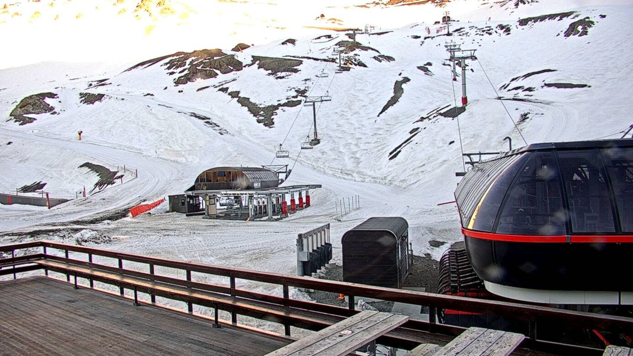
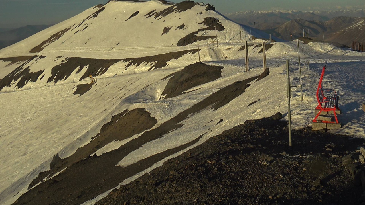
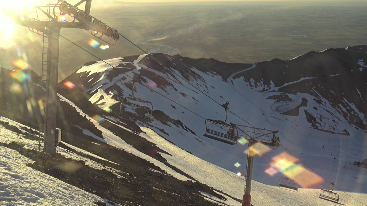
Mt Hutt Webcams

All Webcams

Mt Hutt

Mt Hutt

Mt Hutt

3 webcams • Click to expand

Local Reports

0 reports
SnowSure™ Forecast Range

Daily Snowfall Forecast by Model

Black line = verified SnowSure™ blend (not a simple average). Weights update weekly from measured snowfall at SNOTEL stations and resort reports.

SnowSure™ blend — verified model weighting

The black line is not a simple average. For Mt Hutt (southern alps), we combine seven global weather models using weights learned from daily forecast verification — comparing each model's prediction to measured snowfall (SNOTEL, resort reports, ERA5).

  • 1.Horizon buckets: days 1–3, 4–7, and 8–14 each get separate weights — short-range skill differs from long-range.
  • 2.Regional calibration: weights come from verified error in this geography (Rockies, Alps, Japan, etc.), recalculated weekly.
  • 3.Ground truth only: we never grade a forecast against another model — only against measured snow.

Building verification history for this resort.

How we verify forecasts →

Hourly Forecast Detail

AM / PM / Night breakdown with wind and freezing level

NWP models refresh up to 4× daily · Last synced Jul 14, 5:03 AM

Hourly Forecast Detail
 
Today
0 / -62.8cm3.9mm
Wed, Jul 15
-3 / -81.2cm1.7mm
Thu, Jul 16
-2 / -80.1cm0.1mm
Fri, Jul 17
-2 / -7
Sat, Jul 18
-1 / -7
Sun, Jul 19
-4 / -61.5cm2.1mm
PeriodAMPMNightAMPMNightAMPMNightAMPMNightAMPMNightAMPMNight
Snow (cm)0.41.50.900.70.5000.10000000.50.80.2
Precip (mm)0.52.11.3010.7000.10000000.71.10.3
Temp (°C)-4-1-4-7-3-5-6-3-6-6-3-7-5-2-6-5-5-5
Wind (km/h)8209446746536546313
Gusts (km/h)619862314545392334221820432336181418

14-Day Snow Forecast by Model

Summit elevation (2086m)

ECMWF
23.9cm
GFS
7.7cm
GEM
4.9cm
JMA
15.2cm
ICON
12.4cm
Météo-Fr
0.1cm
SnowSure™
10.7cm

10-Day Forecast

Today

14

🌧️

-0.5°

-5.9°

2.8cm

21 km/h

Wed

15

🌧️

-2.6°

-8.5°

1cm

8 km/h

Thu

16

🌧️

-2.3°

-7.8°

0.1cm

8 km/h

Fri

17

☀️

-1.6°

-7.5°

8 km/h

Sat

18

☁️

-1°

-7.3°

7 km/h

Sun

19

🌧️

-4.3°

-5.7°

1.9cm

6 km/h

Mon

20

☁️

-3.1°

-9.9°

6 km/h

Tue

21

☁️

1°

-5.3°

7 km/h

Wed

22

🌧️

-2.7°

-5.4°

0.1cm

9 km/h

Thu

23

🌧️

-3.1°

-7.7°

0.4cm

7 km/h

Summit elevation (2086m) • ECMWF model

Season vs Historic

Updated Tue, Jul 14, 05:03 AM UTC

158cm

Season Total

This Season to Date

+177%

vs 5-Year Avg

57cm avg by now

+177%

vs 30-Year Avg

57cm avg by now

57cm

5-Yr Avg by Now

Over the past five years, average seasonal snowfall has exceeded the 30-year average by nearly 19%, indicating a recent upward trend. However, snowfall has been highly variable, with significant fluctuations such as a low of 8.2 cm in 2022 and a peak of 36.8 cm in 2021. The current season's snowfall is 18% below the recent 5-year average and slightly below the 30-year average, suggesting a return to more typical historical levels after several above-average years. This variability highlights the importance of monitoring for potential anomalies in future seasons.

Mt Hutt Snow History

Average annual snowfall is 160cm with an average of 54 snowfall days per season. The table below shows monthly averages across 31 seasons of archive data (modeled snowpack at mid-elevation).

Average monthly snowfall history
MonthAvg SnowfallSnowfall DaysAvg Base DepthMax Base DepthBiggest Snowfall
June31.3cm9 days7cm18cm14.1cm
July37.8cm11 days12cm23cm12.9cm
August33.4cm12 days11cm21cm11.1cm
September23.7cm9 days3cm11cm9.7cm
October24.9cm9 days1cm9cm11.1cm

Source: SnowSure archive · Open-Meteo ERA5 reanalysis at mid-elevation. Depth is modeled, not resort-reported.

Season at a Glance

Next season(2026)

Opens Jun 27, 2026

Through Sep 20, 2026

Multi-season averages will appear once SnowSure has tracked more than one full season.

Best Months to Visit

August

Peak Season

July

Peak Season

September

Good

June

Good

Note: Based on typical ski season patterns for this region.