
Early-September Tasman System
1 resort in the path, 40cm at the biggest. Watching — the models see it but do not yet agree closely.
+40CM
Predicted at Treble Cone
Storm
Sep 4–6
1 resort in the path
Peak
Sep 6
24cm at Treble Cone
Predicted
40cm
Treble Cone
Confidence
Watching
Updated
Sep 4, 06:31 UTC
SnowSure Forecaster
Written from the blend and the model spread · updated Sep 4, 06:31 UTC
A storm watch has been issued for the early-September Tasman System, which is expected to bring significant snowfall to the region from September 4 to September 6, 2026. The system is characterized by a strong Pacific influence, leading to favorable conditions for precipitation. Treble Cone is projected to receive 40.3 cm of snow over the window, with the largest single-day accumulation reaching 23.7 cm, supported by 5.7 models agreeing on average. Other resorts may not see similar impacts, potentially missing out on the heavier snowfall. A tighter model agreement or a shift in the storm window could alter the forecast and snowfall expectations.
Snow by day
Sep 3 – Sep 7, with a day either side. For each resort: where the freeze line sits against the mountain, then what falls — snow in cm, rain in mm — and the day read from those two numbers.
Treble Conebase 1,200 m · summit 2,088 m
—cm snow
no daily data
No daily series on file for these resorts yet.
Rain / snow line
Base to summit for each mountain, with the snow line cut across them.

The system
700mb flow — where the storm is, and what is steering it. Pins sized by forecast total.
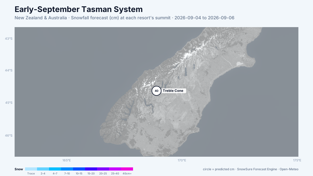
72-hour snowfall forecast for the same window.

In the path
Forecast, not observation — none of this has fallen yet. Totals are across the window. We will post what fell when the window closes.

Last updated 2026-09-04 06:31 UTC. SnowSure scans a blend of seven weather models twice daily and flags systems clearing 30cm over 72 hours, three to fourteen days out. This watch opened on 2026-09-01 with 40cm forecast at Treble Cone.


