
📷 Niseko Moiwa
Asia
Niseko Moiwa
Projected to open November 28, 2026
Best months to book: February, January, March · last season + 30-yr record
Scroll for happiness
Projected to open Nov 28 — closed April 19
Weather data is still collected for informational purposes.
Last Snowfall
--
Past 24 Hours
0cm
Past 48 Hours
0cm
Past 10 Days
0cm
7-Day Forecast
0cm
Snow Depth
--
Niseko Moiwa is projected to open November 28, 2026. Here is when it is usually best to book.
Best months to book
- #1February51cm avg · last season 33.1
- #2January64cm avg
- #3March45cm avg · last season 32.4
Best weeks to book
- #1 8 Mar – 14 Mar · last season 40.4
- #2 1 Mar – 7 Mar · last season 39.4
- #3 22 Feb – 28 Feb · last season 33.1
Ranked on 25% last season's SnowSure score (2025-26) · 75% 30-year snowfall and base-depth record. The live score returns when the lifts turn.
Current Conditions
Reported Tue, Oct 13, 10:00 PM UTC
Terrain
Projected to open Nov 28
Projected to open November 28, 2026
8 runs · 3 lifts — live counts and the SnowSure™ Score return when the lifts turn.
Days 8–14 and every model are in SnowSure Pro.
Unlock with ProHistorical data from Open-Meteo archive • Forecast: SnowSure™ multi-model blend · mid-upper forecast point
Maps
All maps for Niseko Moiwa →
Webcams & Proof of Powder
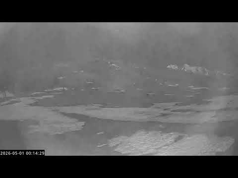
All webcams & Proof of Powder →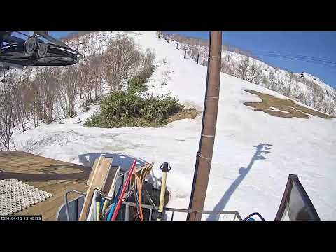

About Niseko Moiwa
Niseko Moiwa is a ski resort located on the Moiwa side of Mount Annupuri in Hokkaido, Japan, offering a relaxed atmosphere and uncrowded slopes. The resort features a variety of terrain suitable for all levels, renowned powder snow, and easy access to off-piste areas. Key amenities include ski-in/ski-out accommodation, rental services, and a natural onsen, making it a favored destination for those seeking a quieter, authentic Niseko experience.
Read the full resort guide →Frequently asked questions about Niseko Moiwa
- Where is Niseko Moiwa?
- Niseko Moiwa is a ski resort in Japan.
- How high is Niseko Moiwa?
- Niseko Moiwa runs from a base elevation of 330 m (1,083 ft) to a summit of 800 m (2,625 ft), giving a vertical drop of 470 m (1,542 ft).
- How big is Niseko Moiwa?
- Niseko Moiwa has 8 marked runs and 3 lifts.
- When is ski season at Niseko Moiwa?
- Niseko Moiwa typically operates from November to April. Exact opening and closing dates shift each year with snowfall — check the resort's current season dates before booking.
- How much snow does Niseko Moiwa get in a typical season?
- Niseko Moiwa averages 551 inches / 1400 cm of snowfall in a typical season. Any individual season can run well above or below that.
- How will El Niño affect Niseko Moiwa in winter 2026-27?
- El Niño Signal: under review — this station's record has an era discontinuity.. This resort carries no separate rank: its 30-year record is identical to niseko-grand-hirafu, which is the ranked entry for this measurement. At ~31km resolution the reanalysis cannot resolve them as different mountains, so publishing both would be publishing one number twice.


