
Early-September Andes System
1 resort in the path, 31cm at the biggest. Watching — the models see it but do not yet agree closely.
+31CM
Predicted at Corralco
Storm
Sep 10–12
1 resort in the path
Peak
Sep 10
24cm at Corralco
Predicted
31cm
Corralco
Confidence
Watching
Updated
Sep 3, 18:30 UTC
SnowSure Forecaster
Written from the blend and the model spread · updated Sep 3, 18:30 UTC
A storm watch has been issued for the Early-September Andes System due to a developing Pacific system expected to bring significant snowfall to the region. Corralco is projected to receive 30.8cm over the window from September 10 to September 12, with the largest single-day accumulation of 23.5cm. This forecast is supported by four models that are in agreement on the average snowfall. Other resorts may not experience similar impacts, potentially missing out on substantial snow. If model agreement tightens or the forecast window shifts, it could lead to adjustments in the snowfall predictions and the issuance of further alerts.
Snow by day
Sep 9 – Sep 13, with a day either side. For each resort: where the freeze line sits against the mountain, then what falls — snow in cm, rain in mm — and the day read from those two numbers.
Corralcobase 1,440 m · summit 2,400 m
—cm snow
no daily data
No daily series on file for these resorts yet.
Rain / snow line
Base to summit for each mountain, with the snow line cut across them.

The system
700mb flow — where the storm is, and what is steering it. Pins sized by forecast total.
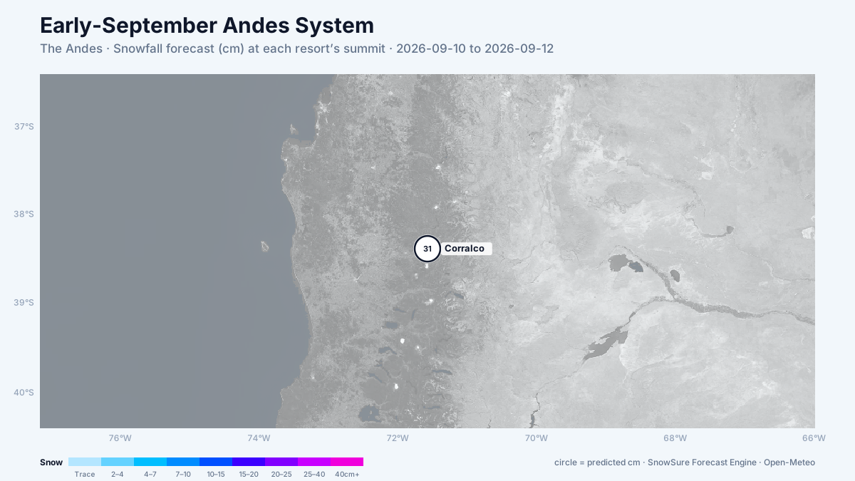
72-hour snowfall forecast for the same window.

In the path
Forecast, not observation — none of this has fallen yet. Totals are across the window. We will post what fell when the window closes.
Last updated 2026-09-03 18:30 UTC. SnowSure scans a blend of seven weather models twice daily and flags systems clearing 30cm over 72 hours, three to fourteen days out. This watch opened on 2026-09-03 with 31cm forecast at Corralco.


