
📷 Lagalb
Europe
Lagalb
Projected to open Dec 19
Projected to open December 19, 2026
Best months to book: November, April, March · 30-yr snow record
Scroll for happiness
Projected to open Dec 19
Weather data is still collected for informational purposes.
Last Snowfall
Oct 10
2d agoPast 24 Hours
0cm
Past 48 Hours
0cm
Past 10 Days
10cm
7-Day Forecast
9cm
Snow Depth
--
Lagalb is projected to open December 19, 2026. Here is when it is usually best to book.
Best months to book
- #1November88cm avg
- #2April59cm avg
- #3March50cm avg
Ranked on 30-year snowfall and base-depth record. The live score returns when the lifts turn.
Current Conditions
Reported Mon, Oct 12, 10:01 PM UTC
Terrain Open
Projected to open Dec 19
Projected to open December 19, 2026
5 lifts — live counts and the SnowSure™ Score return when the lifts turn.
- Lifts– / 5
Ops signals
- ●Cold summit temps — snow preservation favorable
Days 8–14 and every model are in SnowSure Pro.
Unlock with ProHistorical data from Open-Meteo archive • Forecast: SnowSure™ multi-model blend
Maps
All maps for Lagalb →
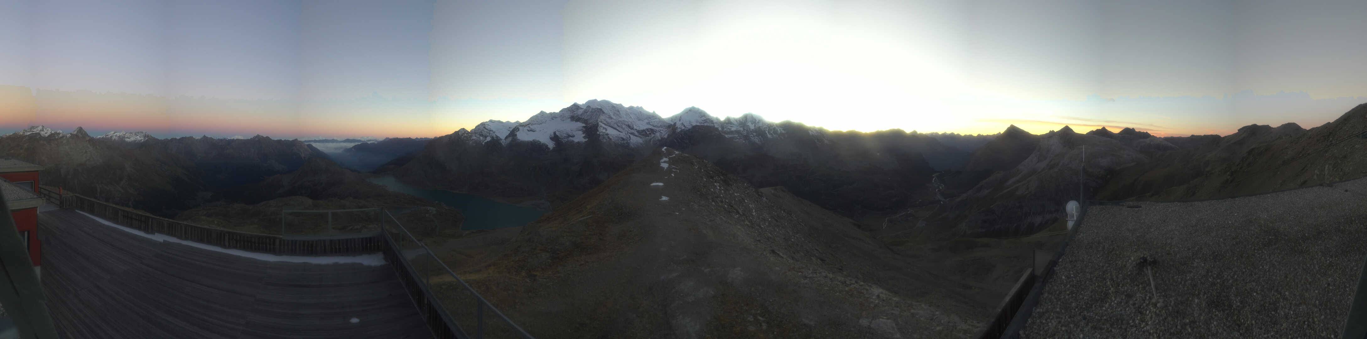
Webcams & Proof of Powder
All webcams & Proof of Powder →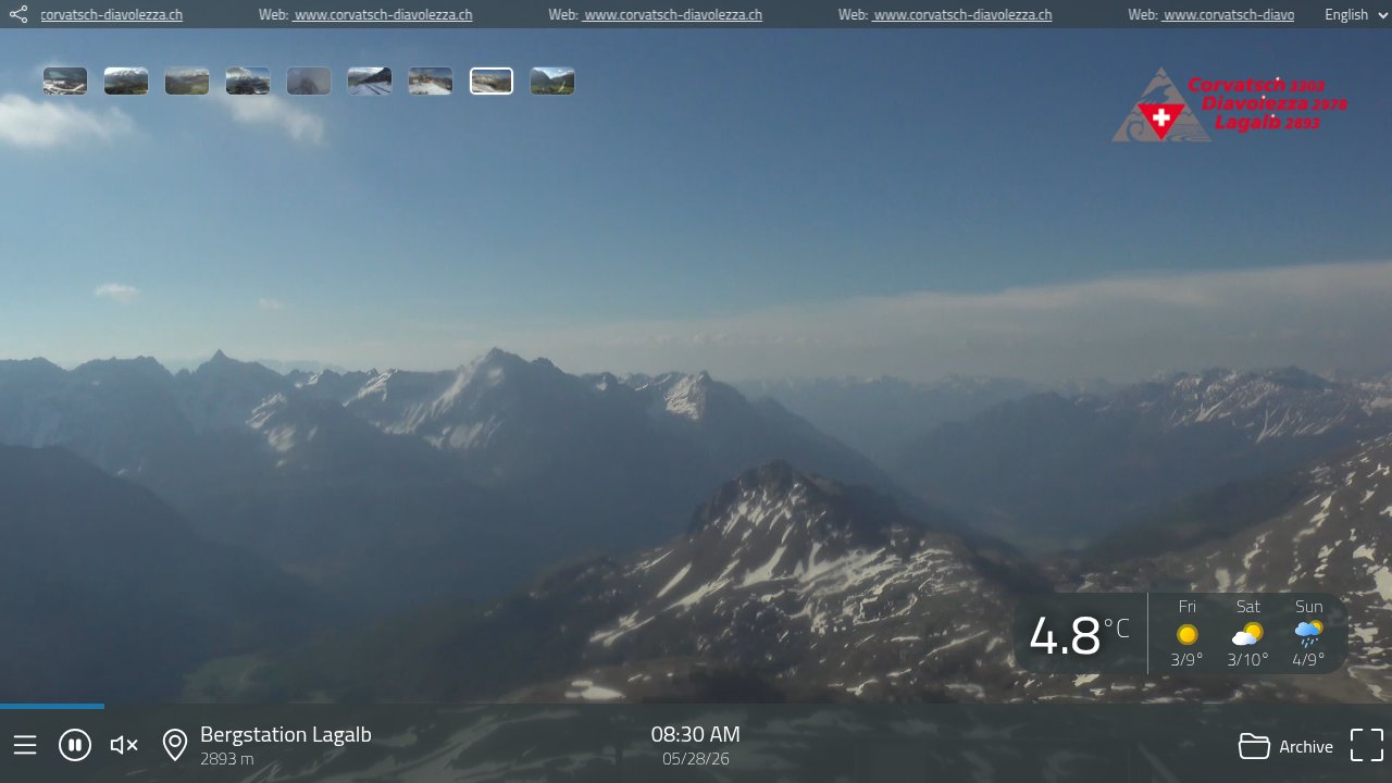
About Lagalb
Lagalb is a ski resort located in the Upper Engadin region of Switzerland, renowned for its challenging slopes and panoramic views of the Bernina massif. The resort features over 30 kilometers of pistes, primarily catering to advanced and expert skiers, with wide, steep runs and off-piste opportunities. Lagalb is known for its tranquil atmosphere, minimal crowds, and a focus on pure alpine skiing, complemented by a historic mountain restaurant at the summit.
Read the full resort guide →Frequently asked questions about Lagalb
- Where is Lagalb?
- Lagalb is a ski resort in Switzerland.
- How high is Lagalb?
- Lagalb runs from a base elevation of 2,093 m (6,867 ft) to a summit of 3,006 m (9,862 ft), giving a vertical drop of 913 m (2,995 ft).
- How big is Lagalb?
- Lagalb has 5 lifts.
- How much snow does Lagalb get in a typical season?
- Lagalb averages 109 inches / 276 cm of snowfall in a typical season. Any individual season can run well above or below that.
- How will El Niño affect Lagalb in winter 2026-27?
- El Niño Signal Rank: #76 of 488 SnowSure resorts · Tier A · strong-event signal +10% vs its own 30-yr average. In the three strongest El Niño winters on record ('97-98, '15-16, '23-24), Lagalb averaged +10% versus its own 30-year snowfall baseline. The pattern has historically been a friend here. With a record-strength event forecast for winter 2026-27, Lagalb sits on the favorable side of the ledger. Analog winters: '97-98 -21%, '15-16 -10%, '23-24 +61%. A pattern, not a promise.


