📷 Tignes
Europe
Tignes
Limited
↘declining
Scroll for happiness
Last Snowfall
--
Past 24 Hours
0cm
Past 48 Hours
0cm
Past 10 Days
0cm
14-Day Forecast
0.8cm
Snow Depth
--
Powder Days
11
2026–27 season
Bluebird Days
3
2026–27 season
Overview
Tignes is a ski resort in Europe, France. Today's SnowSure™ Score is 10/100 (Limited). The 14-day ensemble forecast across seven weather models (ECMWF, GFS, GEM, JMA, ICON, Météo-France, Met Norway) calls for ~1 cm (0.4 in) of new snow. Conditions last updated 2026-07-14 06:01 UTC.
Resort Guide
Tignes is a high-altitude ski resort located in the French Alps, renowned for its extensive ski area that connects with Val d’Isère to form the Espace Killy domain. The resort offers year-round skiing on the Grande Motte glacier, a modern lift system, and a variety of slopes suitable for all levels. Tignes features a lively, sporty atmosphere with a range of amenities including ski-in/ski-out accommodations, aquatic and wellness centers, and diverse après-ski options. Its reliable snow conditions and innovative facilities make it a standout destination for both winter sports enthusiasts and families.
Gallery
Click to expand • 4 total photos
Terrain & lifts
Resort-reported stats for Tignes
Lifts
74
Skiable area
916 ac
Longest run
10 km / 6.2 mi
Runs by difficulty(156 total)
Beginner
86
55% of terrain
Intermediate
39
25% of terrain
Advanced
31
20% of terrain
Run counts estimated from resort-reported totals and terrain mix.
Lift fleet
- Gondola10
- Aerial tram2
- High-speed 619
- High-speed quad9
- Quad chair8
- Triple chair3
- Surface lift23
- Funicular2
Resort Info
Season dates
Ski passes
No ski pass found
Access tiers change by season — confirm benefits on the pass operator's site.
Top Après Ski
La Folie Douce Tignes – Renowned for its energetic après-ski scene, this slope-side venue offers live music, DJ performances, and open-air dancing, creating a festive atmosphere that draws skiers and snowboarders for unforgettable afternoons and early evenings.
Limited conditions.
Tignes is currently closed for the season. The weather today is partly cloudy with a temperature of 5°C and light winds at 2 km/h.
AI-generated summaryDepth
Resort closed — no current ski-base depth.
Recent
There has been no new snowfall in the past week.
Forecast
The 14-day snow outlook predicts an average of 0cm, with a maximum forecast of 1cm.
Historic
Season-to-date snow accumulation is not available, but the 5-year average for this date is 478cm.
Data updated Tue, Jul 14, 06:01 AM UTC
Snow Summary
Updated Jul 14, 2026 at 6:01 AM
Historical data from Open-Meteo archive • Forecast from ECMWF IFS model
Snowfall Forecast Maps
The Alps region
Current Conditions
Reported Tue, Jul 14, 06:01 AM UTC
Freezing Level
4271m
☀️ Above summit - warm/wet conditions
Base
2100m
Temp
14.1°C
Wind
2.2km/h
Snow Depth
--
Model est.
14-Day Forecast
0cm
Mid-Mountain
2778m
Temp
9.7°C
Wind
2.2km/h
Snow Depth
--
Model est.
14-Day Forecast
0cm
Summit
3456m
Temp
5.3°C
Wind
2.2km/h
Snow Depth
--
Model est.
14-Day Forecast
0cm
Ops signals
- ●Freezing level above summit — rain risk at lower elevations
Lifts Open
open
Live Conditions
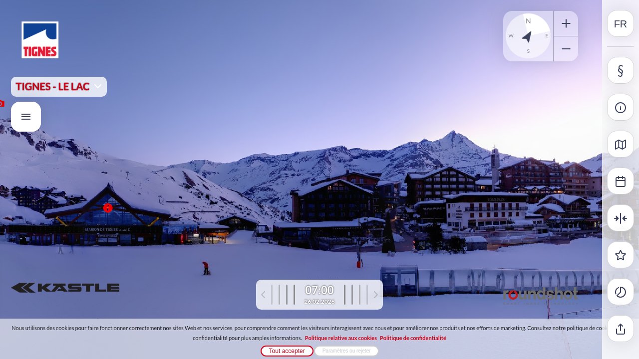
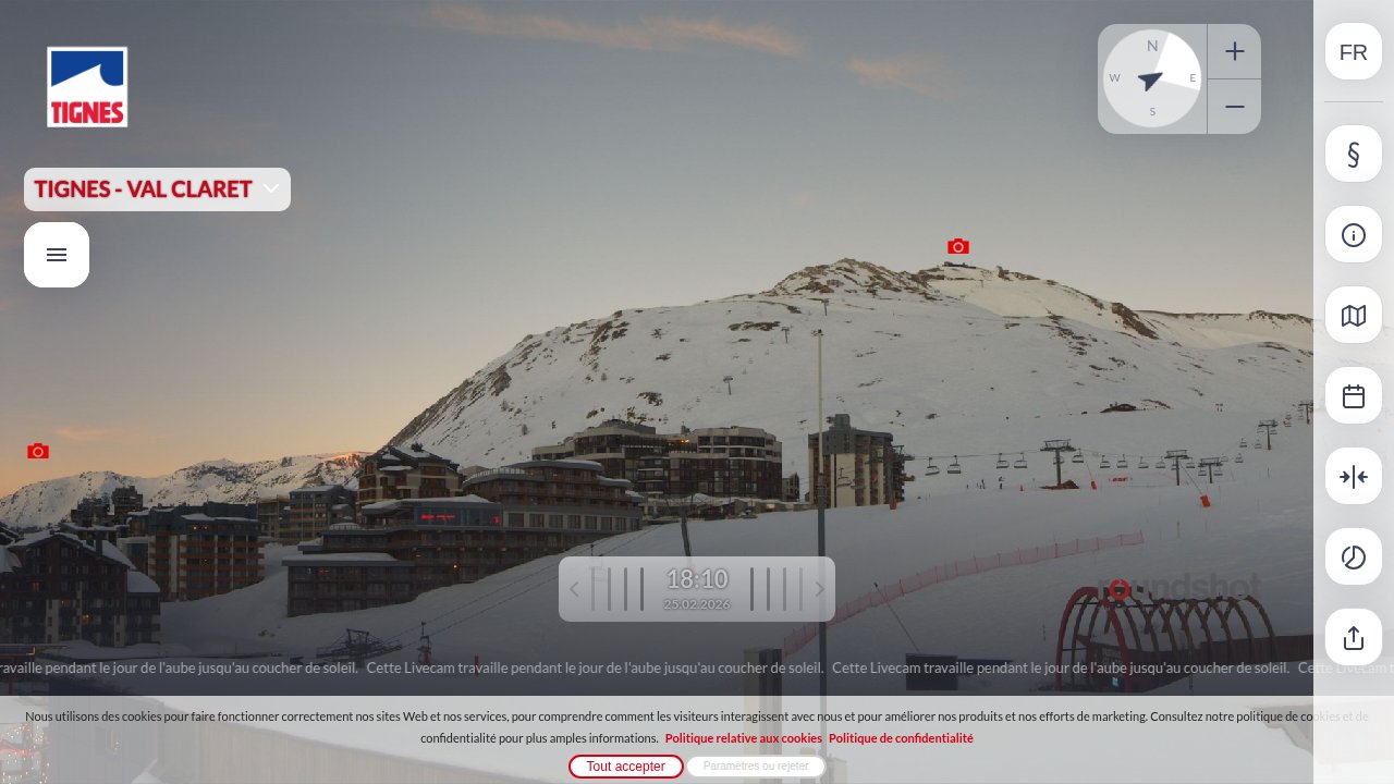
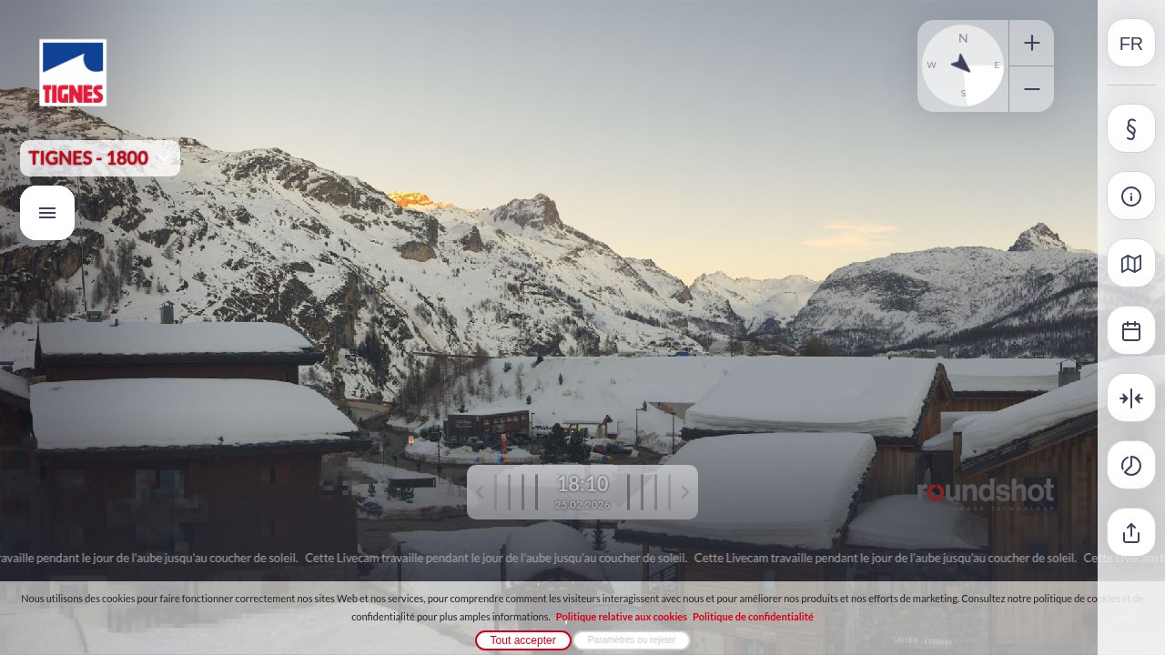
Tignes Webcams
Roundshot
Roundshot
Roundshot
Roundshot
Local Reports
0 reportsDaily Snowfall Forecast by Model
Black line = verified SnowSure™ blend (not a simple average). Weights update weekly from measured snowfall at SNOTEL stations and resort reports.
SnowSure™ blend — verified model weighting
The black line is not a simple average. For Tignes (alps), we combine seven global weather models using weights learned from daily forecast verification — comparing each model's prediction to measured snowfall (SNOTEL, resort reports, ERA5).
- 1.Horizon buckets: days 1–3, 4–7, and 8–14 each get separate weights — short-range skill differs from long-range.
- 2.Regional calibration: weights come from verified error in this geography (Rockies, Alps, Japan, etc.), recalculated weekly.
- 3.Ground truth only: we never grade a forecast against another model — only against measured snow.
Building verification history for this resort.
How we verify forecasts →Hourly Forecast Detail
AM / PM / Night breakdown with wind and freezing level
NWP models refresh up to 4× daily · Last synced Jul 14, 6:01 AM
Today 11 / 1 | Wed, Jul 15 9 / 24.2mm | Thu, Jul 16 9 / 10.3cm4.2mm | Fri, Jul 17 8 / 10.5cm8.7mm | Sat, Jul 18 5 / -2 | Sun, Jul 19 5 / -50.6mm | |||||||||||||
|---|---|---|---|---|---|---|---|---|---|---|---|---|---|---|---|---|---|---|
| Period | AM | PM | Night | AM | PM | Night | AM | PM | Night | AM | PM | Night | AM | PM | Night | AM | PM | Night |
| Snow (cm) | 0 | 0 | 0 | 0 | 0 | 0 | 0 | 0 | 0.3 | 0 | 0 | 0.5 | 0 | 0 | 0 | 0 | 0 | 0 |
| Precip (mm) | 0 | 0 | 0 | 0 | 1.2 | 3 | 0 | 0.6 | 3.6 | 1.8 | 1.8 | 5.1 | 0 | 0 | 0 | 0 | 0.3 | 0.3 |
| Temp (°C) | 6 | 10 | 5 | 6 | 9 | 4 | 4 | 9 | 3 | 4 | 7 | 2 | 0 | 4 | 1 | 1 | 5 | -1 |
| Wind (km/h) | 4 | 11 | 6 | 6 | 16 | 8 | 5 | 13 | 7 | 6 | 11 | 5 | 8 | 13 | 7 | 5 | 11 | 6 |
| Gusts (km/h) | 18 | 39 | 27 | 36 | 63 | 43 | 35 | 57 | 43 | 41 | 64 | 48 | 32 | 38 | 41 | 35 | 37 | 39 |
14-Day Snow Forecast by Model
Summit elevation (3456m)
10-Day Forecast
Today
14
☁️
10.8°
0.8°
12 km/h
Wed
15
🌧️
9.3°
2.4°
18 km/h
Thu
16
🌧️
9.2°
0.9°
16 km/h
Fri
17
🌧️
7.7°
1°
13 km/h
Sat
18
☁️
4.7°
-2.3°
14 km/h
Sun
19
🌧️
4.9°
-4.7°
13 km/h
Mon
20
☁️
5.9°
-2.8°
10 km/h
Tue
21
⛅
6.4°
-1.4°
11 km/h
Wed
22
☀️
7.9°
-0.7°
10 km/h
Thu
23
🌤️
11.4°
0.8°
12 km/h
Summit elevation (3456m) • ECMWF model
Season vs Historic
Updated Tue, Jul 14, 06:01 AM UTC
0cm
Season Total
This Season to Date
-100%
vs 5-Year Avg
478cm avg by now
-100%
vs 30-Year Avg
478cm avg by now
478cm
5-Yr Avg by Now
Over the past five years, average seasonal snowfall has exceeded the 30-year average by approximately 7%, indicating a modest upward trend in recent snowfall. However, significant year-to-year variability is evident, with the 2023 season experiencing an anomalously high snowfall of 380.4 cm, nearly double the 5-year average, while 2020 saw a pronounced low of 108.5 cm. The current season's snowfall is substantially below both the 5-year and 30-year averages, at just 46% and 49% of those benchmarks, respectively, marking a notable shortfall compared to recent history. This pattern highlights both increased variability and the potential for significant deviations from long-term norms.
Tignes Snow History
Average annual snowfall is 631cm with an average of 143 snowfall days per season. The table below shows monthly averages across 30 seasons of archive data (modeled snowpack at mid-elevation).
| Month | Avg Snowfall | Snowfall Days | Avg Base Depth | Max Base Depth | Biggest Snowfall |
|---|---|---|---|---|---|
| November | 97.4cm | 18 days | 47cm | 84cm | 21.9cm |
| December | 98.1cm | 19 days | 106cm | 139cm | 21.8cm |
| January | 90.2cm | 17 days | 146cm | 177cm | 19.1cm |
| February | 68.8cm | 16 days | 171cm | 197cm | 14.9cm |
| March | 78.5cm | 18 days | 184cm | 208cm | 16.7cm |
| April | 72.9cm | 19 days | 177cm | 205cm | 16.2cm |
| May | 58.7cm | 15 days | 129cm | 178cm | 15.3cm |
Source: SnowSure archive · Open-Meteo ERA5 reanalysis at mid-elevation. Depth is modeled, not resort-reported.
Season at a Glance
1 tracked seasonLast completed season(2025-26)
163 days
Nov 22, 2025 → May 3, 2026
Next season(2026-27)
Opens Nov 21, 2026
Multi-season averages will appear once SnowSure has tracked more than one full season.
Best Months to Visit
February
Peak Season
January
Peak Season
March
Good
December
Good
Note: Based on typical ski season patterns for this region.