Mid-September Tasman System
8 resorts in the path, 76cm at the biggest. Watching — the models see it but do not yet agree closely.
+76CM
Predicted at Temple Basin
Storm
Sep 16–19
8 resorts in the path
Peak
Sep 19
43cm at Temple Basin
Predicted
76cm
Temple Basin
Confidence
Watching
Updated
Sep 12, 06:30 UTC
SnowSure Forecaster
Written from the blend and the model spread · updated Sep 12, 06:30 UTC
A storm watch has been issued due to an incoming mid-September Tasman System expected to bring significant snowfall across the region from September 16 to September 19, 2026. Temple Basin is projected to receive the most snow, with 76.1cm over the window, while Tūroa and Treble Cone are also likely to see substantial accumulations of 45.7cm and 42.3cm, respectively. Other resorts, such as Whakapapa and Ōhau, are forecasted to receive around 40.3cm and 30.6cm. However, Porters, Coronet Peak, and Mt Cheeseman are expected to see lower totals of 30.3cm, 30cm, and 32.1cm. A tightening of model agreement or a shift in the storm window could alter these predictions significantly.
Snow by day
Sep 15 – Sep 20, with a day either side. For each resort: where the freeze line sits against the mountain, then what falls — snow in cm, rain in mm — and the day read from those two numbers.
Temple Basinbase 1,326 m · summit 1,753 m
—cm snow
no daily data
Tūroabase 1,600 m · summit 2,322 m
—cm snow
no daily data
Treble Conebase 1,200 m · summit 2,088 m
—cm snow
no daily data
Whakapapabase 1,630 m · summit 2,300 m
—cm snow
no daily data
Mt Cheesemanbase 1,540 m · summit 1,860 m
—cm snow
no daily data
Ōhaubase 1,425 m · summit 1,929 m
—cm snow
no daily data
Portersbase 1,302 m · summit 1,980 m
—cm snow
no daily data
Coronet Peakbase 1,168 m · summit 1,649 m
—cm snow
no daily data
No daily series on file for these resorts yet.
Rain / snow line
Base to summit for each mountain, with the snow line cut across them.

The system
700mb flow — where the storm is, and what is steering it. Pins sized by forecast total.
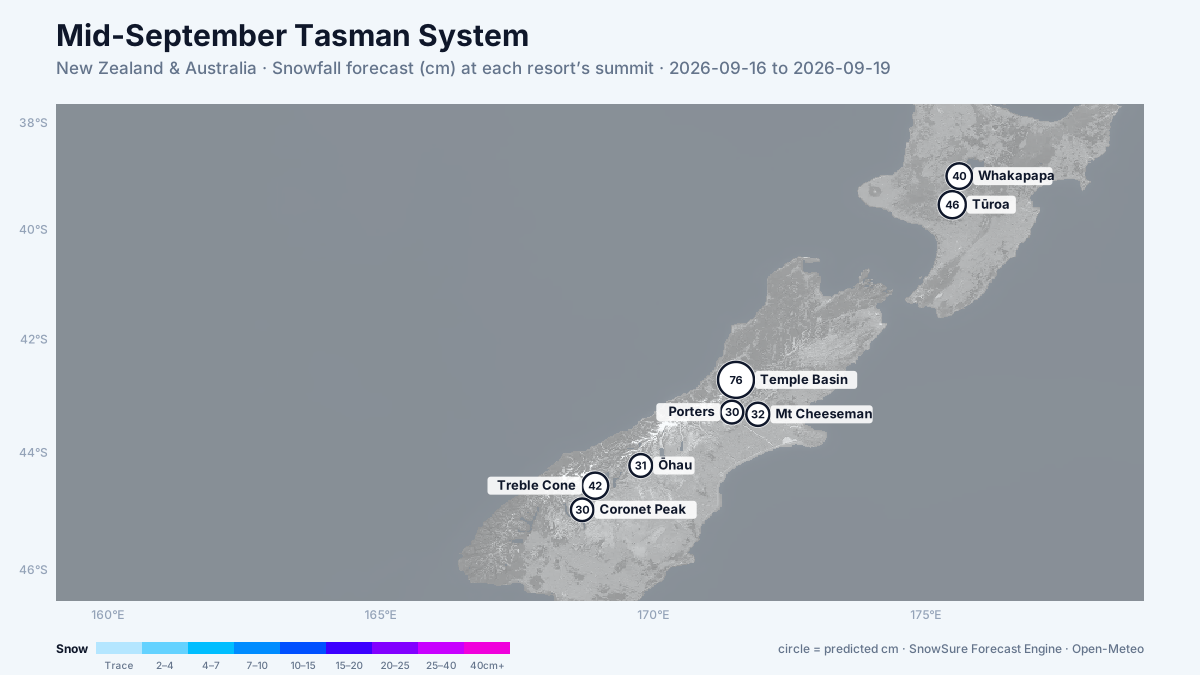
72-hour snowfall forecast for the same window.

In the path
Forecast, not observation — none of this has fallen yet. Totals are across the window. We will post what fell when the window closes.
LiveTemple Basinbiggest day 43cm on 19 Sep · strengtheningPredicted76cm
LiveTūroabiggest day 20cm on 18 Sep · strengtheningPredicted46cm
LiveTreble Conebiggest day 27cm on 19 Sep · newPredicted42cm
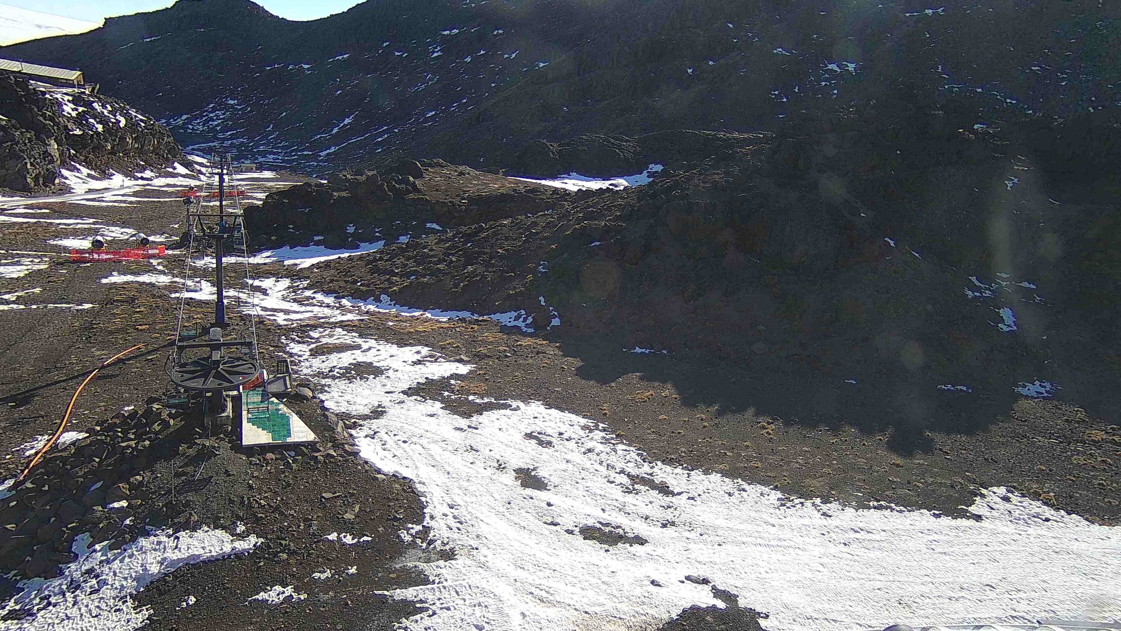 LiveWhakapapabiggest day 18cm on 18 Sep · delayedPredicted40cm
LiveMt Cheesemanbiggest day 13cm on 17 Sep · delayedPredicted32cm
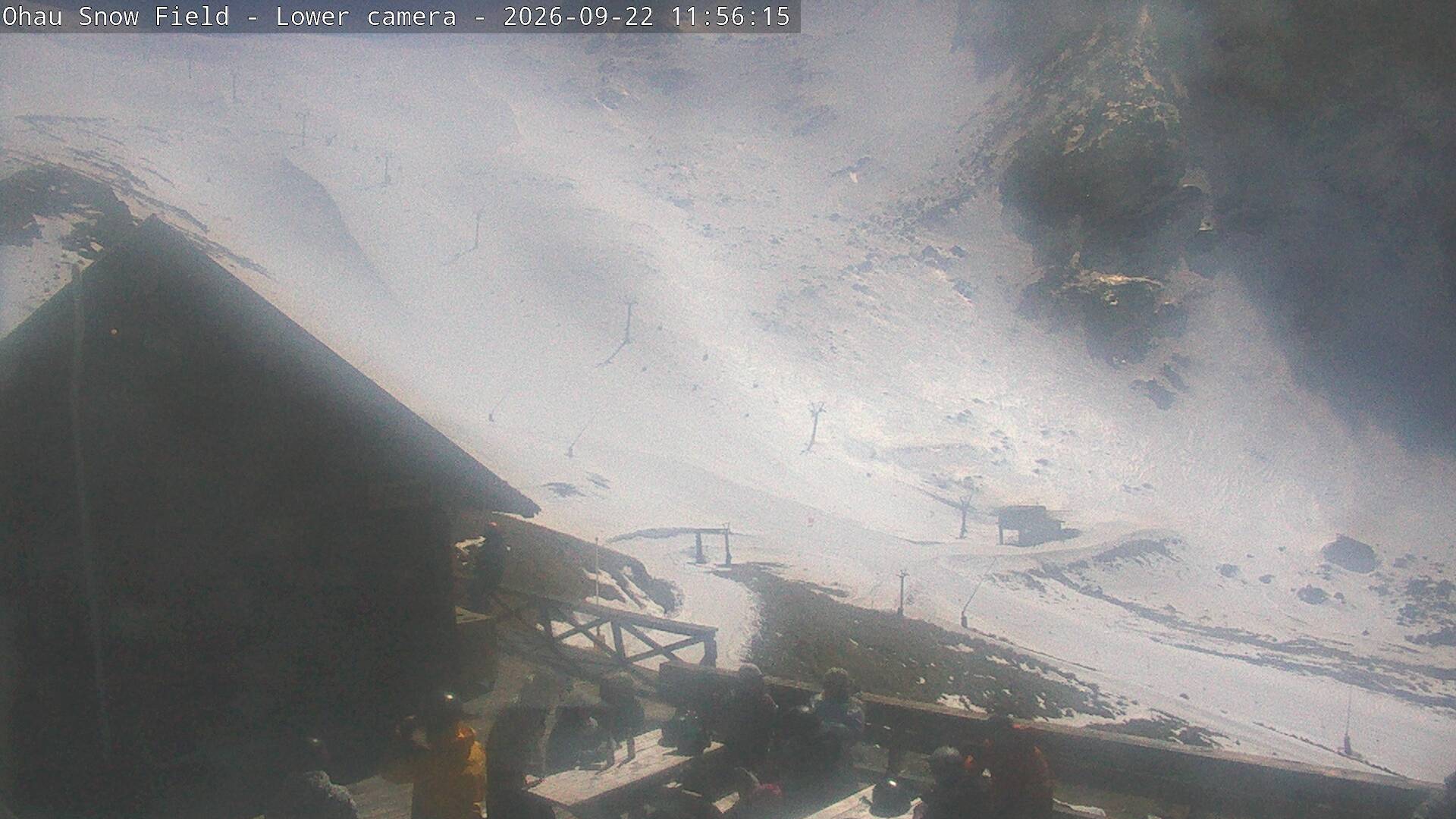 LiveŌhaubiggest day 21cm on 19 Sep · newPredicted31cm
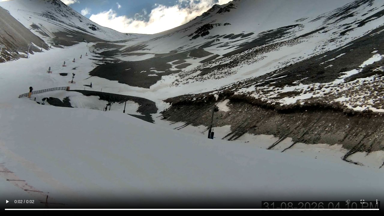 LivePortersbiggest day 18cm on 19 Sep · newPredicted30cm
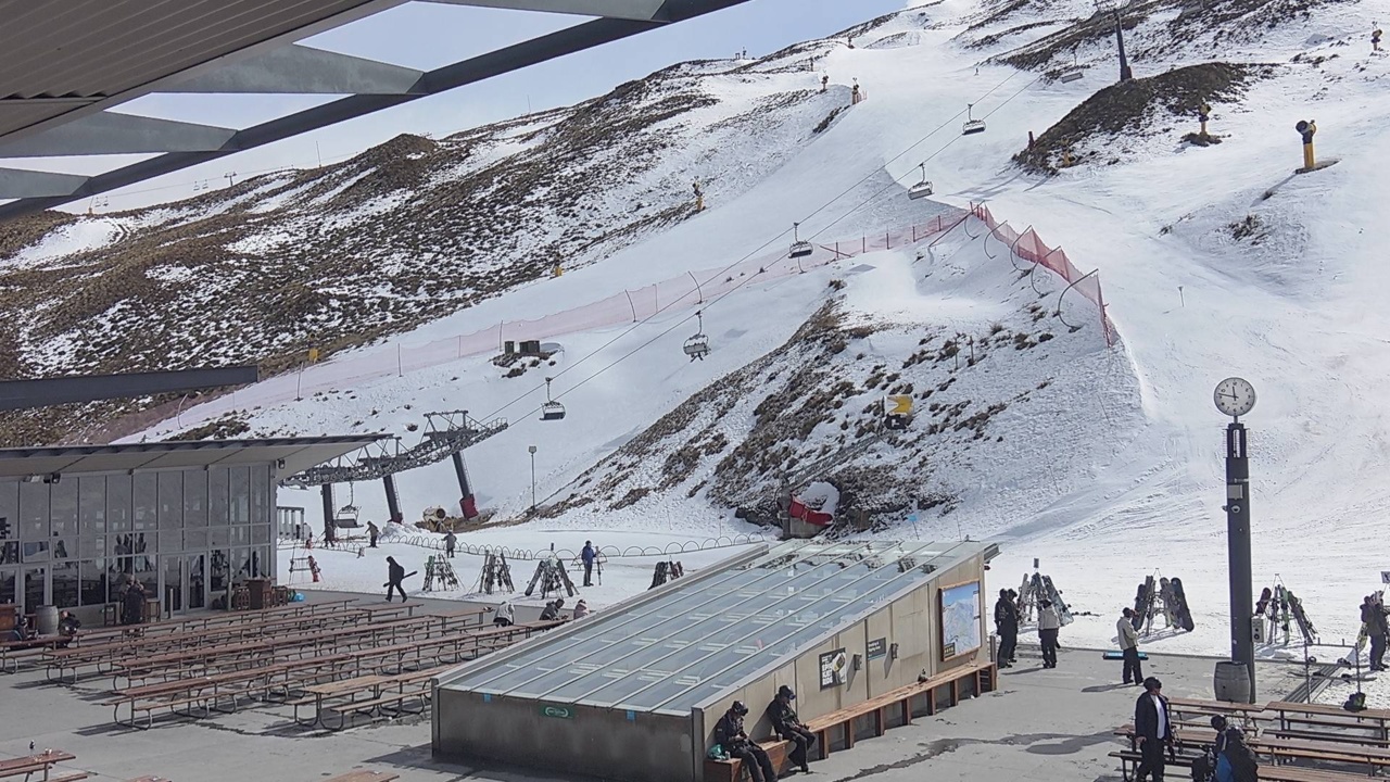 LiveCoronet Peakbiggest day 18cm on 19 Sep · newPredicted30cm
Last updated 2026-09-12 06:30 UTC. SnowSure scans a blend of seven weather models twice daily and flags systems clearing 30cm over 72 hours, three to fourteen days out. This watch opened on 2026-09-07 with 41cm forecast at Temple Basin.


