
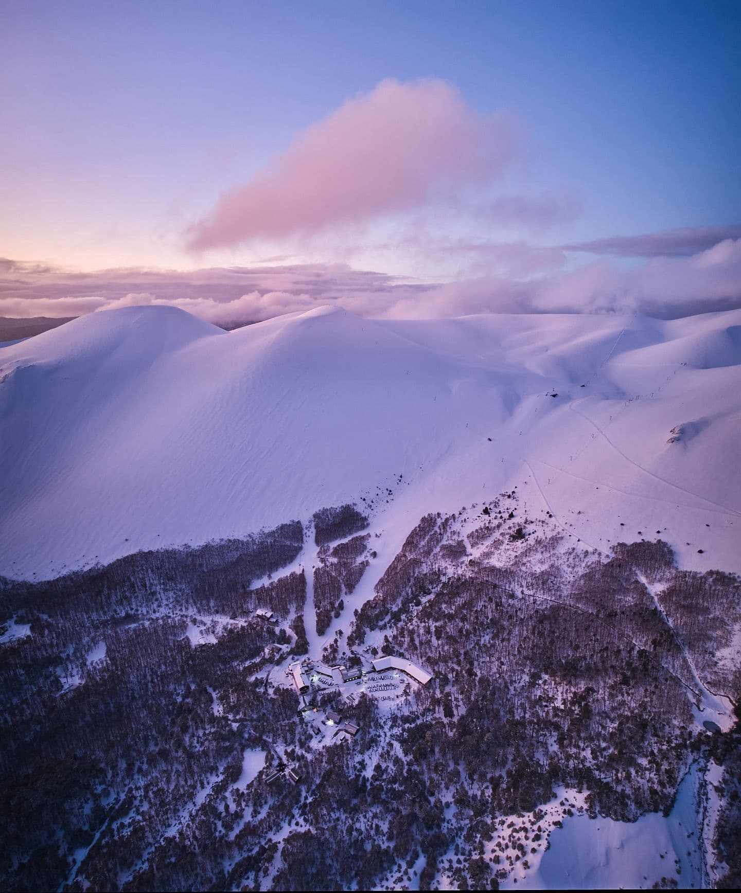
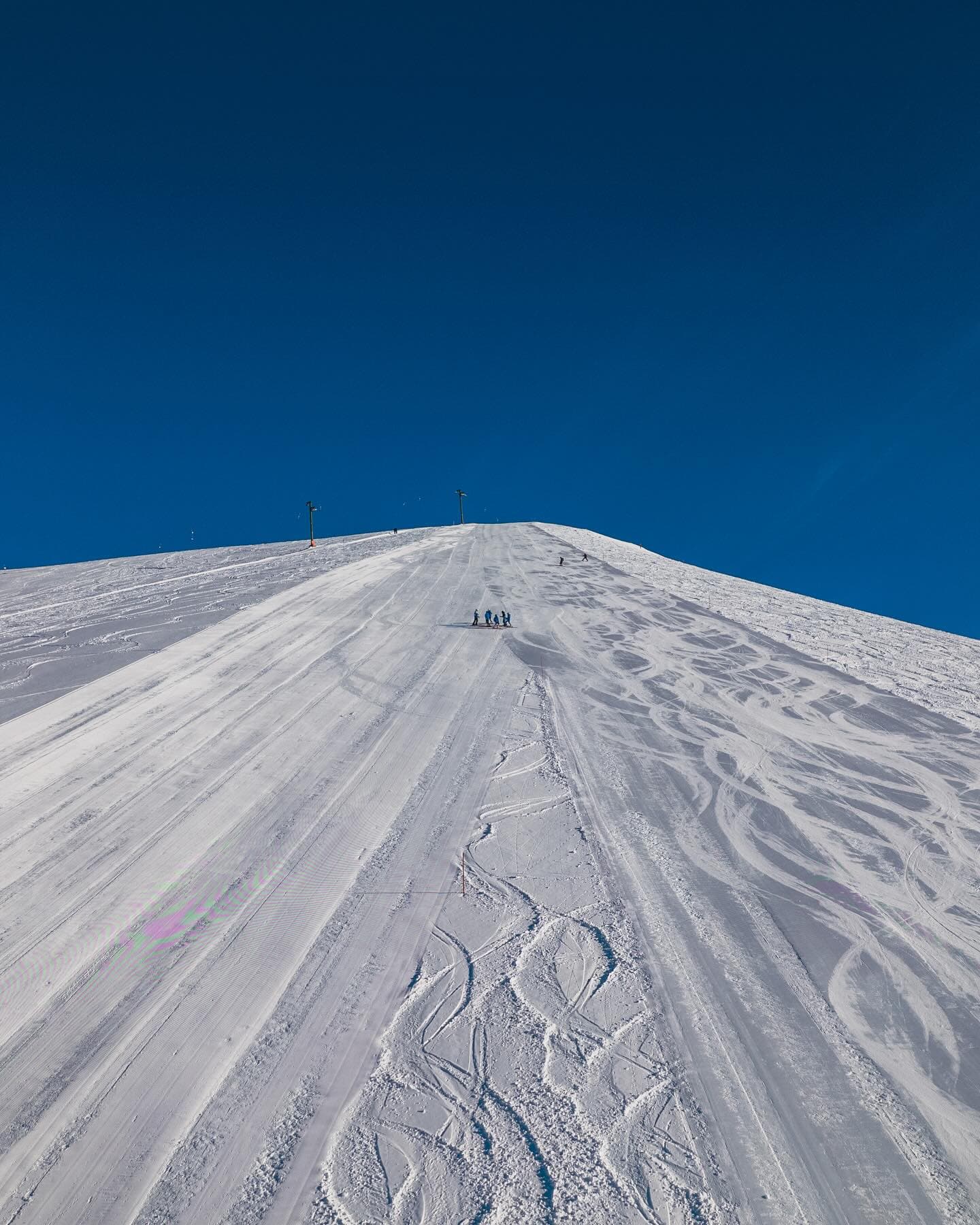
📷 Antillanca
South America
Antillanca
Conditions data updated Thu, Jul 16, 09:01 PM UTC · informational only
Scroll for happiness
Closed for Season
Weather data is still collected for informational purposes.
Last Snowfall
Jul 16
todayPast 24 Hours
0.6cm
Reported by AntillancaPast 48 Hours
1.2cm
Past 10 Days
6.8cm
14-Day Forecast
48.5cm
Snow Depth
--
Powder Days
10
2026 season
Bluebird Days
1
2026 season
Overview
Antillanca is a ski resort in South America, Chile. Today's SnowSure™ Score is 32/100, 3 cm (1.2 in) of snow in the last 7 days. The 14-day ensemble forecast across seven weather models (ECMWF, GFS, GEM, JMA, ICON, Météo-France, Met Norway) calls for ~49 cm (19.3 in) of new snow. Conditions last updated 2026-07-16 21:01 UTC.
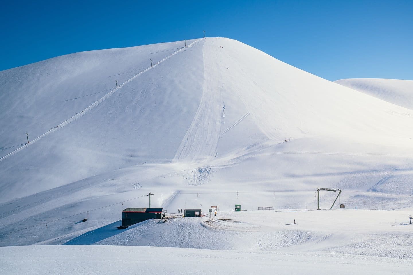
Resort Guide
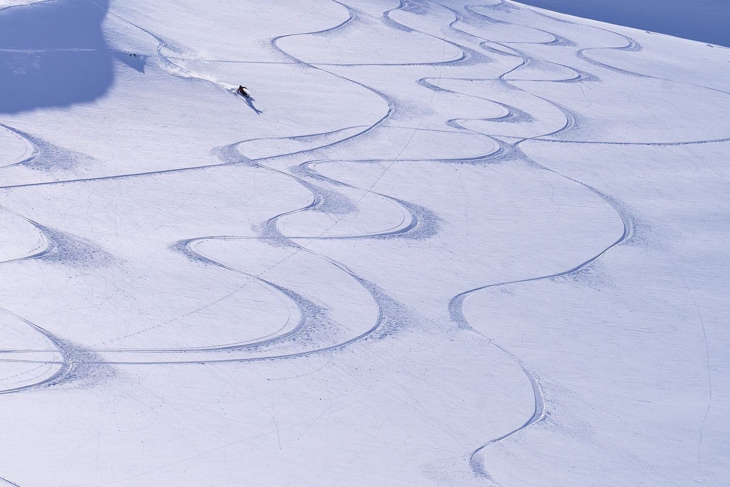
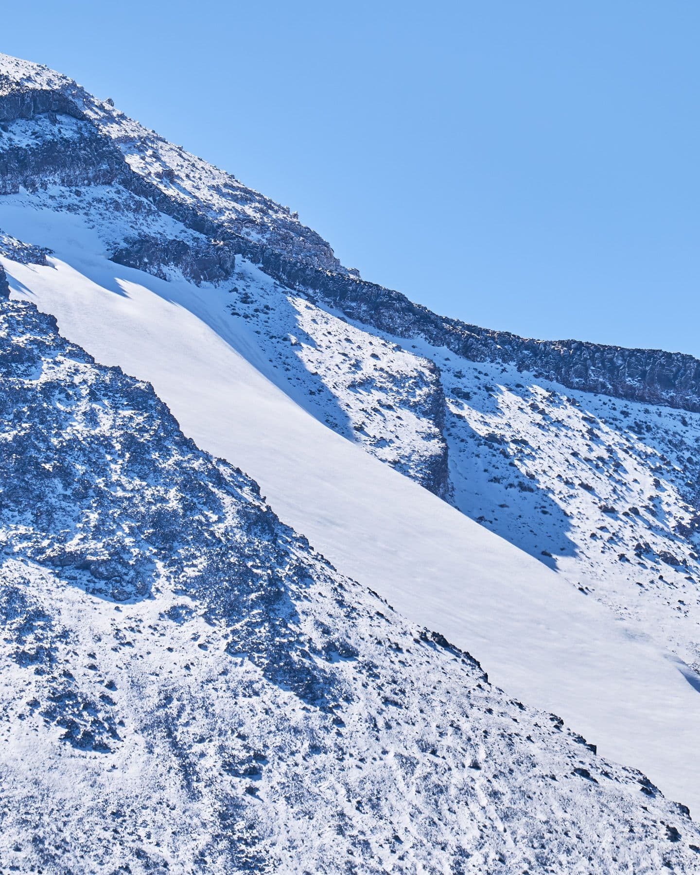
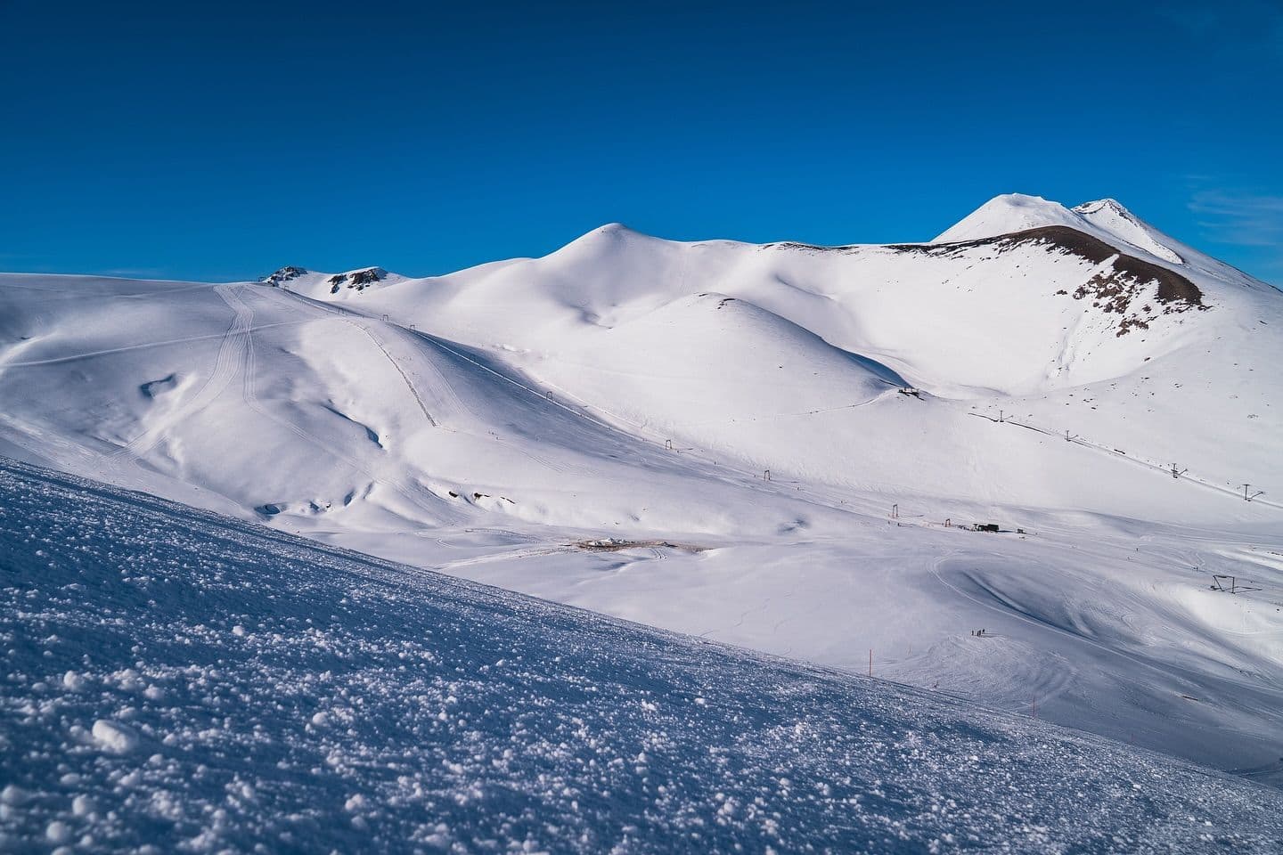
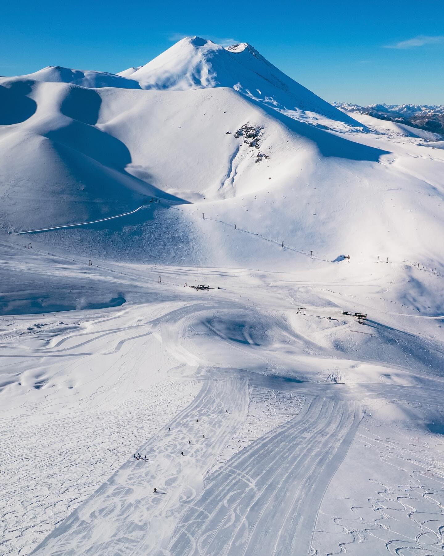
Antillanca is a ski and mountain resort located within Puyehue National Park in southern Chile, offering direct access to the slopes with a ski-in/ski-out hotel featuring 27 rooms, restaurants, a souvenir shop, hot tubs, and a gym. The resort is surrounded by native forests, volcanoes, and lakes, providing a natural and adventurous atmosphere. Signature experiences include skiing and snowboarding for all levels, equipment rentals, a ski and snowboard school, and year-round activities such as thermal baths and local gastronomy. Antillanca stands out for its unique setting in a national park and its comprehensive mountain facilities.
Gallery
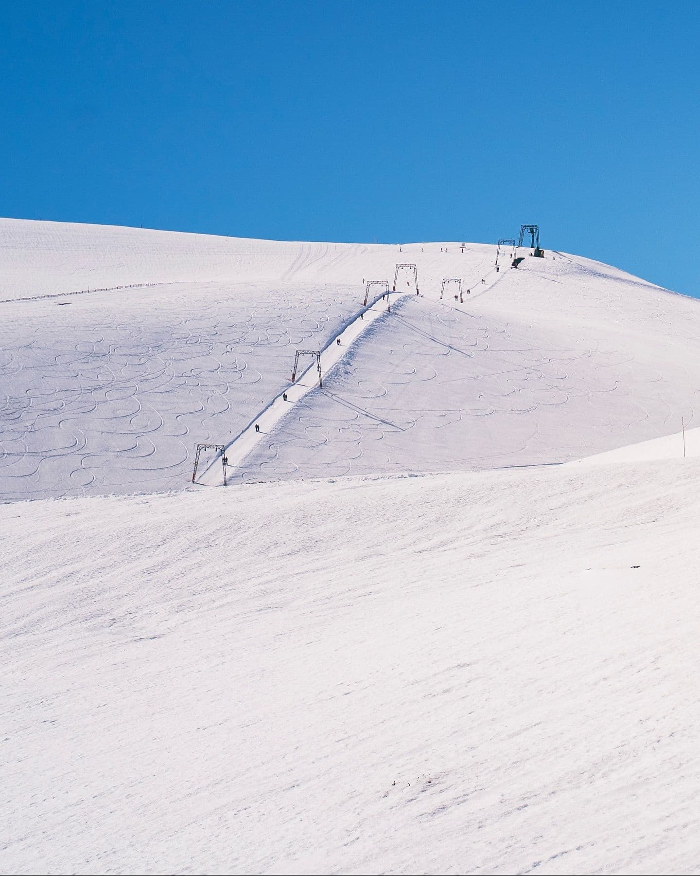
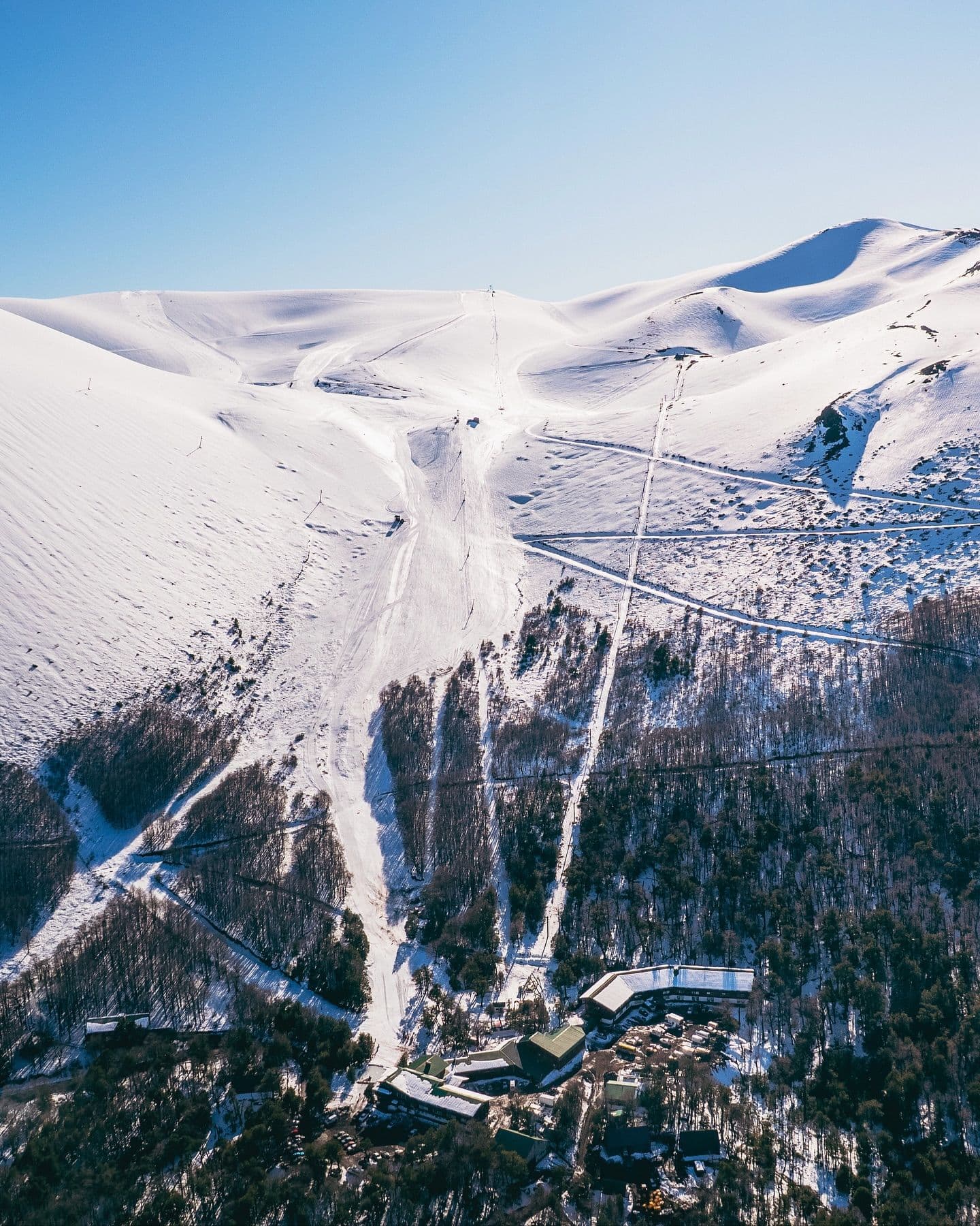
Click to expand • 15 total photos
Terrain & lifts
Resort-reported stats for Antillanca
Lifts
6
Skiable area
195.5 ac
Longest run
2.8 km / 1.7 mi
Runs by difficulty(28 total)
Beginner
9
30% of terrain
Intermediate
11
40% of terrain
Advanced
8
30% of terrain
Run counts estimated from resort-reported totals and terrain mix.
Lift fleet
- Double chair1
- Surface lift4
Resort Info
Season dates
Future dates are operator estimates and may change.
Ski passes
No ski pass found
Access tiers change by season — confirm benefits on the pass operator's site.
Top Après Ski
Bar Antillanca – The resort’s main bar is renowned for its cozy atmosphere, panoramic mountain views, and welcoming après-ski ambiance, making it a favorite spot for skiers to unwind with drinks and socialize after a day on the slopes.
Not operating — season has ended
SnowSure scores and forecasts below are for planning and reference only while the resort is closed.
Depth
Resort closed — no current ski-base depth.
Recent
In the last 48 hours, 2cm of new snow has fallen.
Forecast
The 14-day snow outlook predicts between 54cm to 88cm of additional snowfall.
Historic
Season-to-date snowfall is at 102cm, compared to a 5-year average of 234cm.
Closed for the season · Data updated Thu, Jul 16, 09:01 PM UTC · informational only
Snow Summary
Updated Jul 16, 2026 at 9:01 PM
Historical data from Open-Meteo archive • Forecast from ECMWF IFS model
Snowfall Forecast Maps
Andes (Chile & Argentina) region
Current Conditions
Reported Thu, Jul 16, 09:01 PM UTC
Depth by source
every reading we have- Resort ReportedBase 0cm · Mid 0cm · Summit 0cm
- Open-MeteoBase 18cm · Summit 18cm
The headline depth uses the most trusted available source. We show every reading so you can judge for yourself.
Base
1040m
Temp
5.9°C
Wind
9.3km/h
Snow Depth
--
14-Day Forecast
15.7cm
Mid-Mountain
1290m
Temp
--°C
Wind
10km/h
Snow Depth
--
14-Day Forecast
48.5cm
Summit
1540m
Temp
2.7°C
Wind
9.3km/h
Snow Depth
--
14-Day Forecast
89.5cm
Ops signals
- ●Freezing level above summit — rain risk at lower elevations
Local Reports
0 reportsDaily Snowfall Forecast by Model
Black line = verified SnowSure™ blend (not a simple average). Weights update weekly from measured snowfall at SNOTEL stations and resort reports.
SnowSure™ blend — verified model weighting
The black line is not a simple average. For Antillanca (andes), we combine seven global weather models using weights learned from daily forecast verification — comparing each model's prediction to measured snowfall (SNOTEL, resort reports, ERA5).
- 1.Horizon buckets: days 1–3, 4–7, and 8–14 each get separate weights — short-range skill differs from long-range.
- 2.Regional calibration: weights come from verified error in this geography (Rockies, Alps, Japan, etc.), recalculated weekly.
- 3.Ground truth only: we never grade a forecast against another model — only against measured snow.
Building verification history for this resort.
How we verify forecasts →Hourly Forecast Detail
AM / PM / Night breakdown with wind and freezing level
NWP models refresh up to 4× daily · Last synced Jul 16, 9:01 PM
Today 3 / -122.7cm45.3mm | Fri, Jul 17 1 / -73.2cm4.8mm | Sat, Jul 18 -3 / -71.7cm2.4mm | Sun, Jul 19 1 / -6 | Mon, Jul 20 3 / -6 | Tue, Jul 21 -2 / -54.6cm6.6mm | |||||||||||||
|---|---|---|---|---|---|---|---|---|---|---|---|---|---|---|---|---|---|---|
| Period | AM | PM | Night | AM | PM | Night | AM | PM | Night | AM | PM | Night | AM | PM | Night | AM | PM | Night |
| Snow (cm) | 8.5 | 0 | 14.2 | 0.2 | 0.3 | 2.7 | 0 | 1.5 | 0.2 | 0 | 0 | 0 | 0 | 0 | 0 | 1.7 | 2.7 | 0.2 |
| Precip (mm) | 18 | 4.2 | 23.1 | 0.3 | 0.6 | 3.9 | 0 | 2.1 | 0.3 | 0 | 0 | 0 | 0 | 0 | 0 | 2.4 | 3.9 | 0.3 |
| Temp (°C) | 0 | 2 | 0 | -1 | 1 | -3 | -4 | -3 | -5 | -4 | 0 | -5 | -4 | 2 | -4 | -3 | -3 | -4 |
| Wind (km/h) | 12 | 11 | 13 | 7 | 7 | 8 | 4 | 6 | 4 | 1 | 4 | 4 | 6 | 2 | 12 | 24 | 19 | 18 |
| Gusts (km/h) | 54 | 58 | 49 | 31 | 25 | 30 | 12 | 22 | 16 | 8 | 17 | 18 | 19 | 29 | 31 | 56 | 79 | 54 |
14-Day Snow Forecast by Model
Summit elevation (1540m)
10-Day Forecast
Today
16
🌧️
2.7°
-1.3°
15 km/h
Fri
17
🌧️
1.1°
-6.8°
15 km/h
Sat
18
🌧️
-3.1°
-6.9°
1.7cm
8 km/h
Sun
19
☁️
1.2°
-5.8°
11 km/h
Mon
20
🌤️
2.8°
-6.2°
18 km/h
Tue
21
❄️
-2.5°
-4.6°
4.6cm
25 km/h
Wed
22
❄️
-0.9°
-4.4°
6.6cm
18 km/h
Thu
23
🌧️
-0.8°
-3.2°
8.4cm
10 km/h
Fri
24
❄️
-0.2°
-2.7°
15cm
11 km/h
Sat
25
❄️
-1.1°
-3.9°
12.6cm
11 km/h
Summit elevation (1540m) • ECMWF model
Season vs Historic
Updated Thu, Jul 16, 09:01 PM UTC
103cm
Season Total
This Season to Date
-56%
vs 5-Year Avg
234cm avg by now
-56%
vs 30-Year Avg
234cm avg by now
234cm
5-Yr Avg by Now
Snowfall over the past five years has been highly variable, with significant anomalies such as the extremely low totals in 2020 (2.2 cm) and 2024 (16.5 cm), contrasted by much higher snowfall in 2023 (131.1 cm) and 2021 (93.9 cm). The recent 5-year average (55.5 cm) is slightly above the 30-year average (52.9 cm), indicating a modest upward trend despite the volatility. The current season's snowfall is notably below both the 5-year and 30-year averages, representing only 16–17% of typical historic levels. This pattern suggests increasing variability and the occurrence of both unusually high and low snowfall years in recent history.
Antillanca Snow History
Average annual snowfall is 309cm with an average of 58 snowfall days per season. The table below shows monthly averages across 31 seasons of archive data (modeled snowpack at mid-elevation).
| Month | Avg Snowfall | Snowfall Days | Avg Base Depth | Max Base Depth | Biggest Snowfall |
|---|---|---|---|---|---|
| June | 67.5cm | 12 days | 18cm | 36cm | 17.6cm |
| July | 72.8cm | 12 days | 38cm | 56cm | 21.3cm |
| August | 85.5cm | 13 days | 49cm | 70cm | 20.1cm |
| September | 46.5cm | 10 days | 40cm | 61cm | 17.1cm |
| October | 31.6cm | 8 days | 16cm | 31cm | 10.5cm |
Source: SnowSure archive · Open-Meteo ERA5 reanalysis at mid-elevation. Depth is modeled, not resort-reported.
Season at a Glance
Next season(2026)
Opens Jun 27, 2026
Multi-season averages will appear once SnowSure has tracked more than one full season.
Best Months to Visit
August
Peak Season
July
Peak Season
September
Good
June
Good
Note: Based on typical ski season patterns for this region.


