
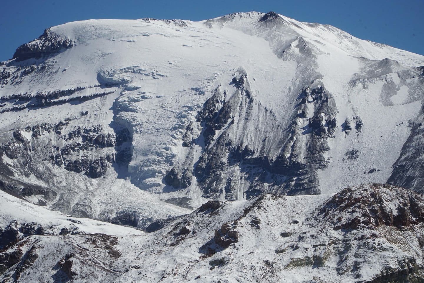
📷 La Parva
South America
La Parva
Limited
→stable
Scroll for happiness
Last Snowfall
--
Past 24 Hours
0cm
Past 48 Hours
0cm
Past 10 Days
0cm
14-Day Forecast
9.5cm
Snow Depth
0cm
Overview
La Parva is a ski resort in South America, Chile. Today's SnowSure™ Score is 16/100 (Limited). The 14-day ensemble forecast across seven weather models (ECMWF, GFS, GEM, JMA, ICON, Météo-France, Met Norway) calls for ~10 cm (3.9 in) of new snow. Conditions last updated 2026-07-04 16:03 UTC.
Resort Guide
La Parva is a ski resort located in the Andes Mountains near Santiago, Chile, offering over 1,000 hectares of skiable terrain with elevations reaching 3,630 meters. The resort features a relaxed alpine atmosphere, modern lift infrastructure, and panoramic views of the surrounding peaks. Signature experiences include varied slopes for all skill levels, a dedicated snowpark, and direct access to the interconnected Tres Valles ski area. Key amenities include ski-in/ski-out lodging, equipment rentals, ski schools, and a selection of restaurants and après-ski options.
Gallery
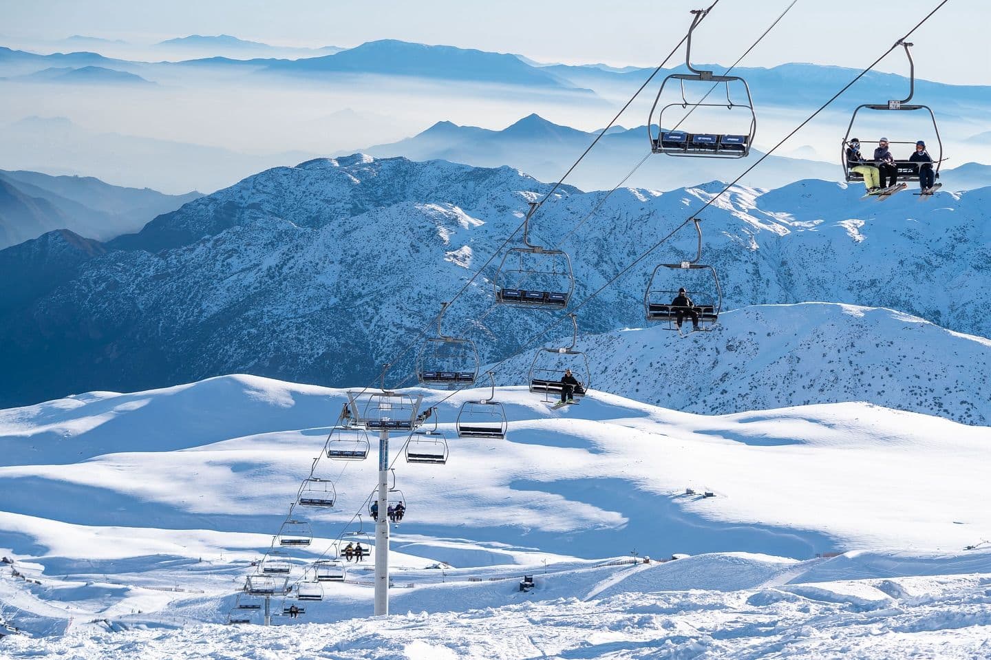
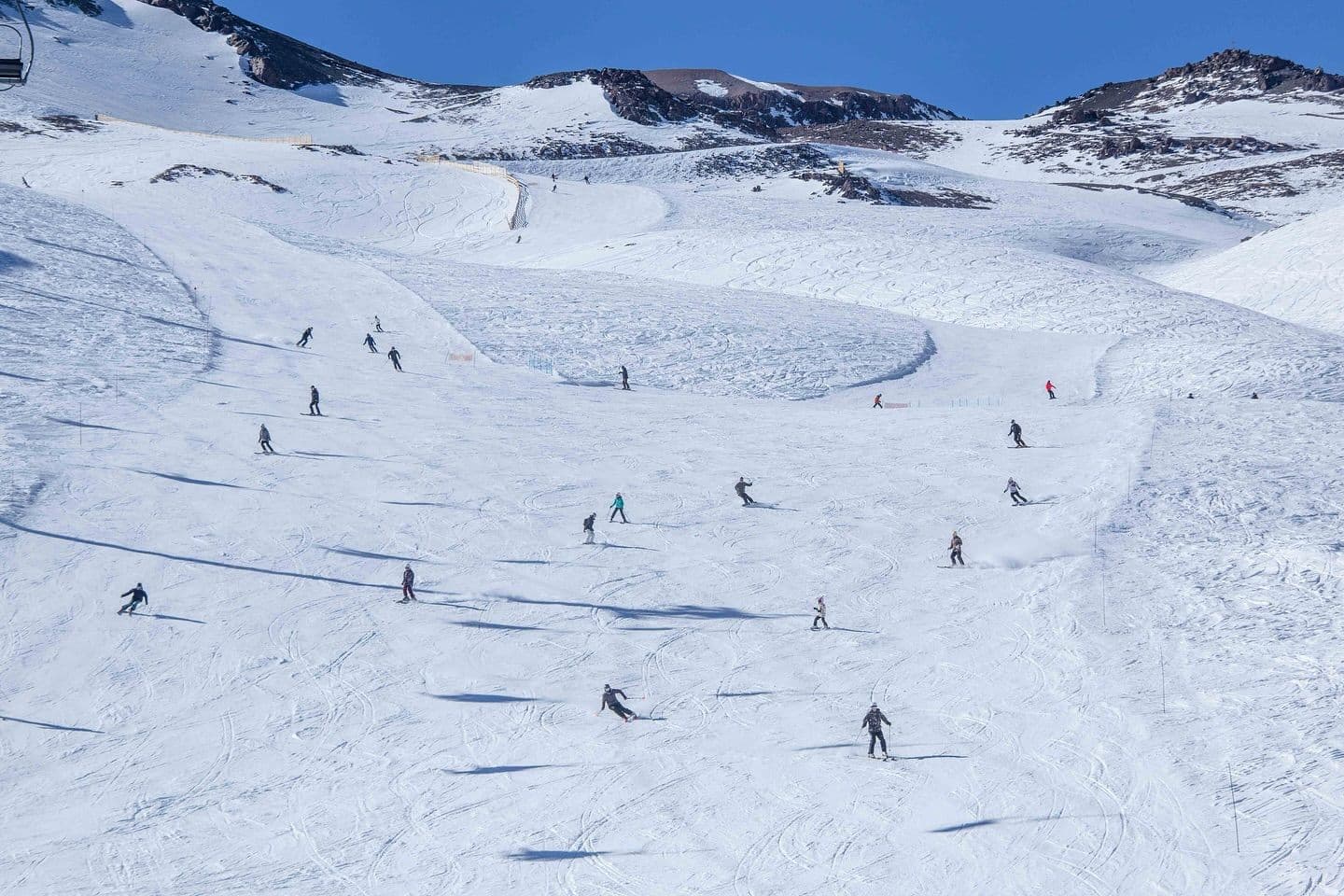
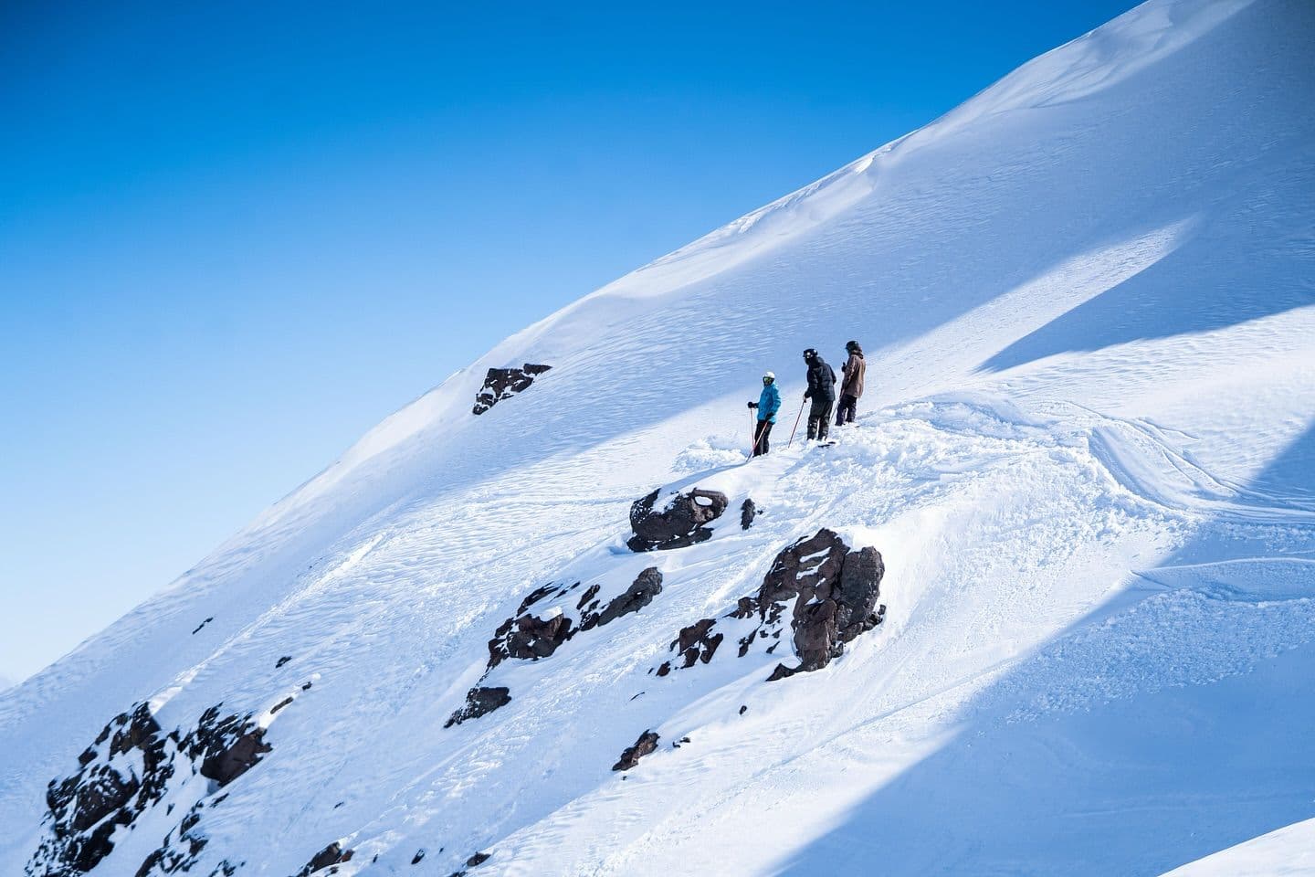
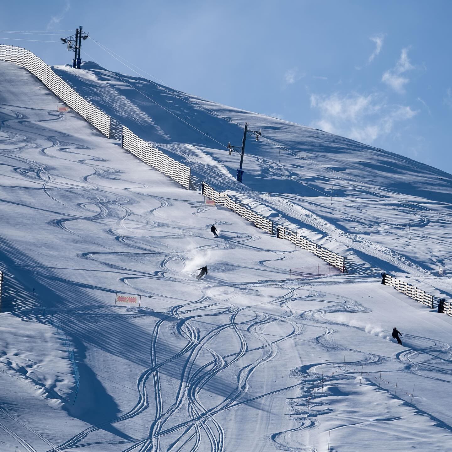
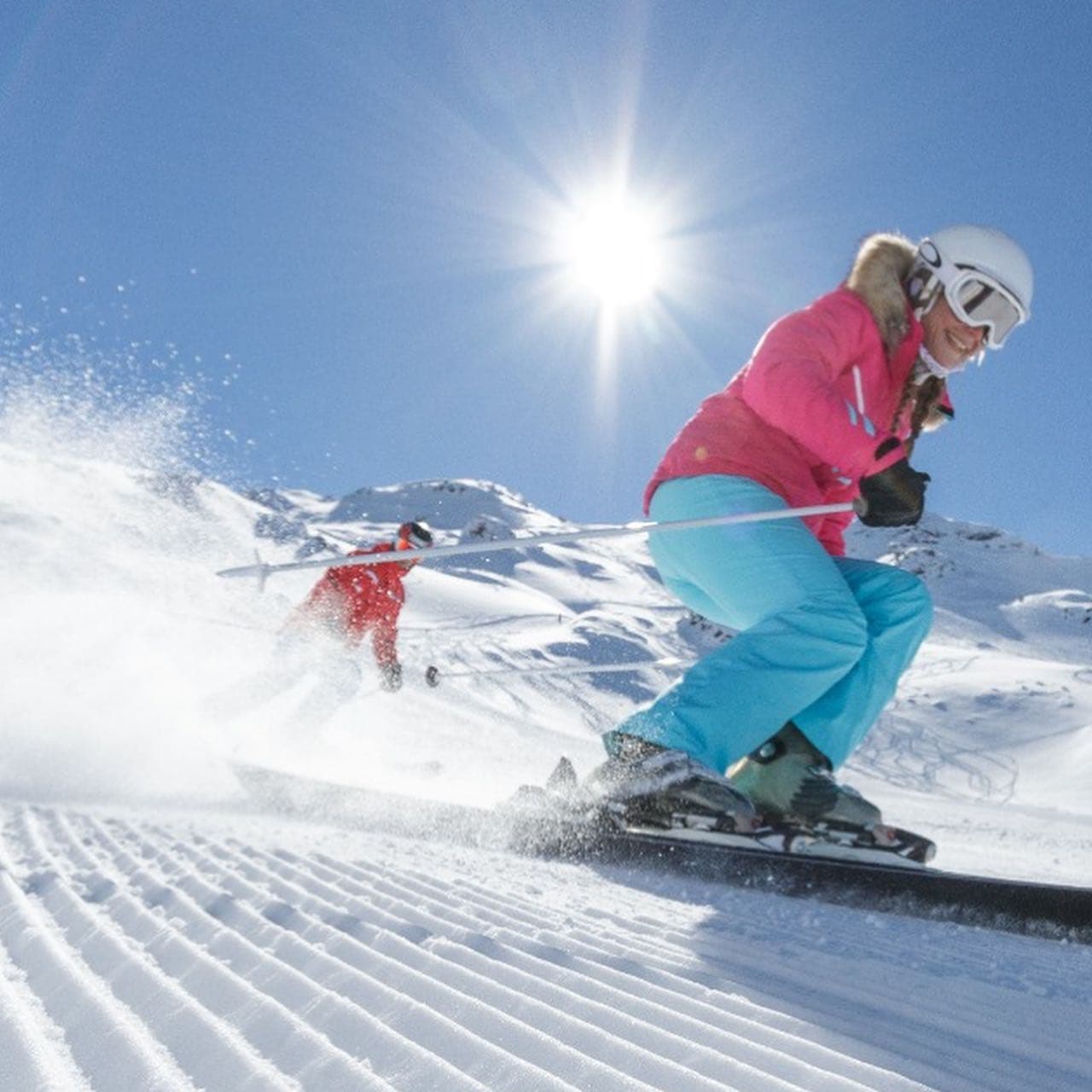
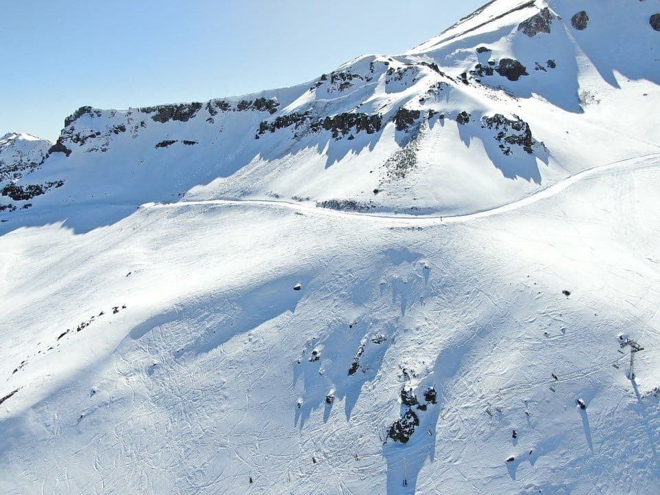
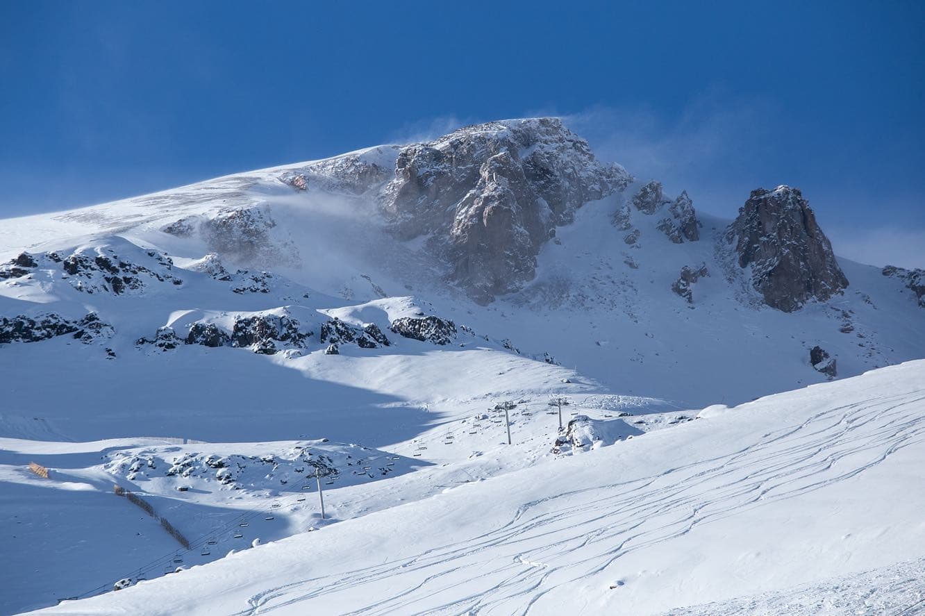
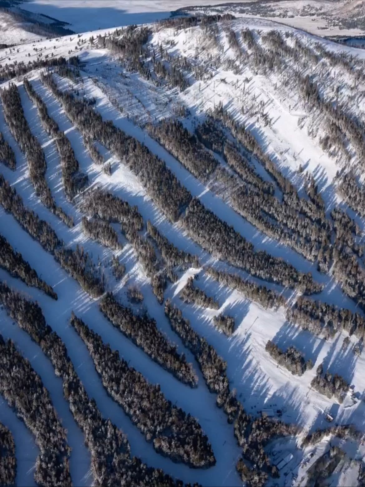
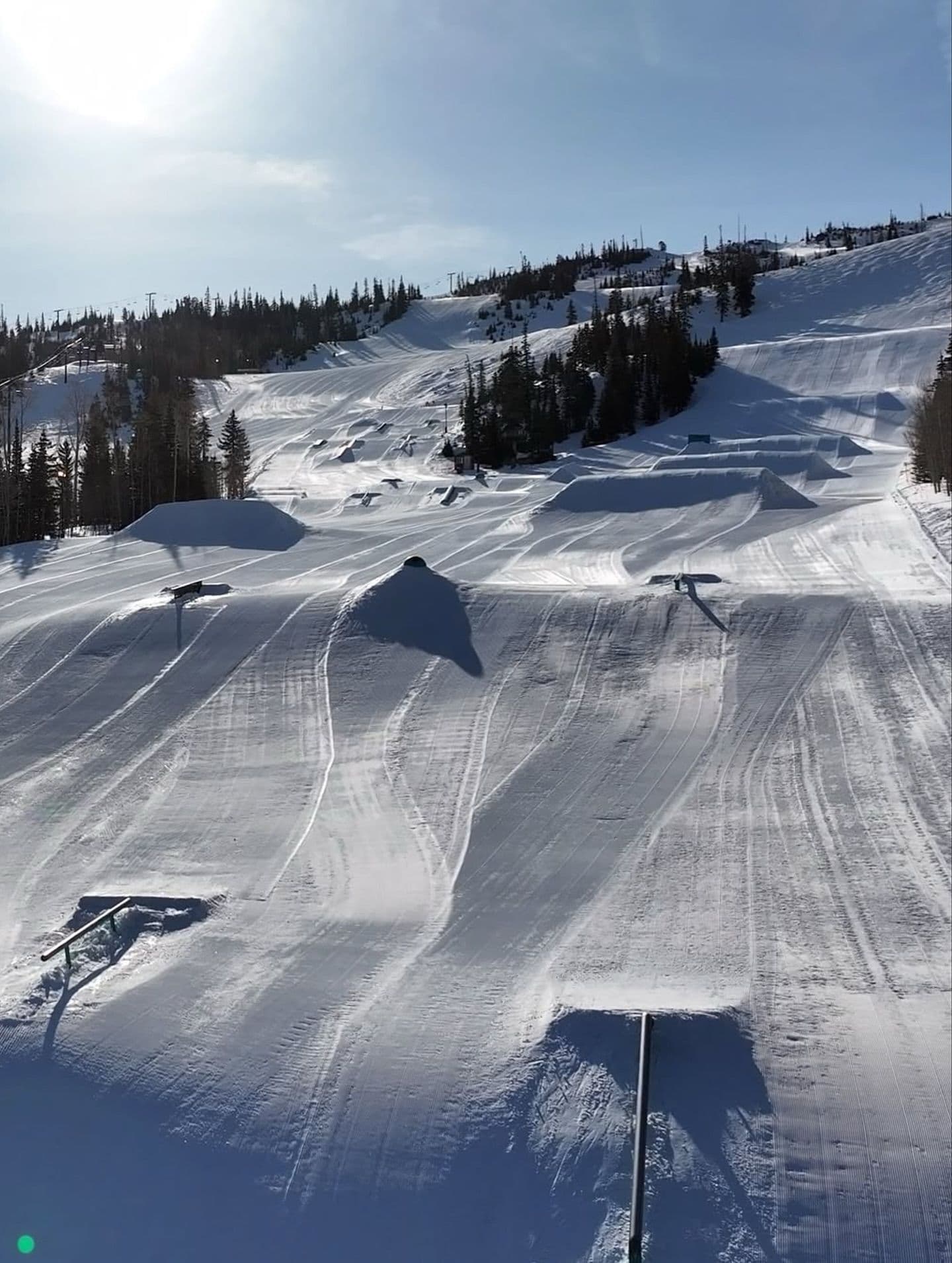
Click to expand • 11 total photos
Terrain & lifts
Resort-reported stats for La Parva
Lifts
15
Skiable area
232 ac
Longest run
4 km / 2.5 mi
Runs by difficulty(40 total)
Beginner
8
20% of terrain
Intermediate
20
50% of terrain
Advanced
12
30% of terrain
Run counts estimated from resort-reported totals and terrain mix.
Lift fleet
- High-speed quad1
- Triple chair1
- Double chair3
- Surface lift9
Resort Info
Season dates
Future dates are operator estimates and may change.
Ski passes
Power Pass
Access tiers change by season — confirm benefits on the pass operator's site.
Top Après Ski
El Montañés – This cozy and iconic après-ski bar in La Parva is renowned for its warm alpine ambiance, hearty Chilean fare, and lively atmosphere, making it a favorite gathering spot for skiers to unwind with drinks and mountain views after a day on the slopes.
Limited conditions.
As the ski season begins at La Parva, conditions are mainly clear with a limited snow base. Recent weather patterns have not brought new snow, but the forecast indicates a potential for light snowfall in the coming days. The season is just starting, so early conditions are typical.
AI-generated summaryDepth
Thin base so far — normal at the very start of the season.
Recent
No new snow has fallen in the past week.
Forecast
The 14-day snow outlook indicates a possibility of 13 to 32 cm of snow.
Historic
This season-to-date is tracking below typical for this point in the season compared to the 5-year average of 1 cm.
Data updated Sat, Jul 4, 04:03 PM UTC
Snow Summary
Updated Jul 4, 2026 at 4:03 PM
Historical data from Open-Meteo archive • Forecast from ECMWF IFS model
Snowfall Forecast Maps
Andes (Chile & Argentina) region
Current Conditions
Reported Sat, Jul 4, 04:03 PM UTC
Depth by source
every reading we have- Resort ReportedSummit 0cm
The headline depth uses the most trusted available source. We show every reading so you can judge for yourself.
Freezing Level
2176m
❄️ Below base - cold & dry snow expected
Base
2653m
Temp
-3.1°C
Wind
8.4km/h
Snow Depth
0cm
Resort reported
14-Day Forecast
4.4cm
Mid-Mountain
3114m
Temp
--°C
Wind
9km/h
Snow Depth
0cm
Resort reported
14-Day Forecast
9.5cm
Summit
3574m
Temp
-9.1°C
Wind
8.4km/h
Snow Depth
0cm
Resort reported
14-Day Forecast
7.8cm
Ops signals
- ●Freezing level below base — snowmaking window open
- ●Fresh snow + cold temps — good grooming window next 48h
- ●Cold summit temps — snow preservation favorable
Lifts Open
open
Runs Open
Local Reports
0 reportsDaily Snowfall Forecast by Model
Black line = verified SnowSure™ blend (not a simple average). Weights update weekly from measured snowfall at SNOTEL stations and resort reports.
SnowSure™ blend — verified model weighting
The black line is not a simple average. For La Parva (andes), we combine seven global weather models using weights learned from daily forecast verification — comparing each model's prediction to measured snowfall (SNOTEL, resort reports, ERA5).
- 1.Horizon buckets: days 1–3, 4–7, and 8–14 each get separate weights — short-range skill differs from long-range.
- 2.Regional calibration: weights come from verified error in this geography (Rockies, Alps, Japan, etc.), recalculated weekly.
- 3.Ground truth only: we never grade a forecast against another model — only against measured snow.
Building verification history for this resort.
How we verify forecasts →Hourly Forecast Detail
AM / PM / Night breakdown with wind and freezing level
NWP models refresh up to 4× daily · Last synced Jul 4, 4:03 PM
Today -9 / -191cm1.5mm | Sun, Jul 5 -8 / -219.4cm13.5mm | Mon, Jul 6 -2 / -21 | Tue, Jul 7 -2 / -16 | Wed, Jul 8 -8 / -10 | Thu, Jul 9 0 / -10 | |||||||||||||
|---|---|---|---|---|---|---|---|---|---|---|---|---|---|---|---|---|---|---|
| Period | AM | PM | Night | AM | PM | Night | AM | PM | Night | AM | PM | Night | AM | PM | Night | AM | PM | Night |
| Snow (cm) | 0 | 0.2 | 0.8 | 0.2 | 0 | 9.2 | 0 | 0 | 0 | 0 | 0 | 0 | 0 | 0 | 0 | 0 | 0 | 0 |
| Precip (mm) | 0 | 0.3 | 1.2 | 0.3 | 0 | 13.2 | 0 | 0 | 0 | 0 | 0 | 0 | 0 | 0 | 0 | 0 | 0 | 0 |
| Temp (°C) | -16 | -10 | -15 | -18 | -9 | -15 | -16 | -4 | -14 | -12 | -3 | -11 | -9 | -8 | -10 | -8 | -1 | -8 |
| Wind (km/h) | 2 | 11 | 3 | 3 | 2 | 2 | 4 | 2 | 2 | 2 | 2 | 1 | 2 | 2 | 2 | 4 | 3 | 2 |
| Gusts (km/h) | 7 | 28 | 9 | 5 | 12 | 7 | 10 | 8 | 6 | 8 | 11 | 7 | 10 | 12 | 11 | 6 | 12 | 7 |
14-Day Snow Forecast by Model
Summit elevation (3574m)
10-Day Forecast
Today
4
🌧️
-8.6°
-18.8°
0.7cm
14 km/h
Sun
5
❄️
-7.7°
-20.6°
9.5cm
4 km/h
Mon
6
☁️
-2.1°
-20.7°
4 km/h
Tue
7
☁️
-2°
-15.6°
3 km/h
Wed
8
☁️
-7.7°
-10.3°
4 km/h
Thu
9
☁️
0.2°
-10.2°
7 km/h
Fri
10
☁️
-2.5°
-10.2°
0.3cm
3 km/h
Sat
11
☁️
-1.7°
-12.3°
0.1cm
3 km/h
Sun
12
☁️
0.5°
-11°
5 km/h
Mon
13
🌧️
-6°
-10.8°
3.6cm
8 km/h
Summit elevation (3574m) • ECMWF model
Season vs Historic
Updated Sat, Jul 4, 04:03 PM UTC
0cm
Season Total
This Season to Date
-100%
vs 5-Year Avg
1cm avg by now
-100%
vs 30-Year Avg
1cm avg by now
1cm
5-Yr Avg by Now
Snowfall has remained extremely low over the past five years, with the 5-year average (0.10 cm) falling below the 30-year average (0.20 cm), indicating a declining trend. The most recent season recorded no snowfall, consistent with the majority of recent years. This persistent lack of snowfall represents a significant deviation from longer-term historical norms, suggesting a notable and ongoing reduction in seasonal snowfall.
La Parva Snow History
Average annual snowfall is 2cm with an average of 1 snowfall days per season. The table below shows monthly averages across 31 seasons of archive data (modeled snowpack at mid-elevation).
| Month | Avg Snowfall | Snowfall Days | Avg Base Depth | Max Base Depth | Biggest Snowfall |
|---|---|---|---|---|---|
| June | 0.3cm | 0 days | 2cm | 9cm | 1.5cm |
| July | 0.9cm | 0 days | 3cm | 9cm | 3.9cm |
| August | 0.7cm | 1 days | 2cm | 8cm | 1.4cm |
| September | 0cm | 0 days | 0cm | 4cm | 0.4cm |
| October | 0cm | 0 days | 0cm | 2cm | 0.4cm |
Source: SnowSure archive · Open-Meteo ERA5 reanalysis at mid-elevation. Depth is modeled, not resort-reported.
Season at a Glance
Current season(2026)
Opened Jun 27, 2026
Scheduled close: Oct 4, 2026
Multi-season averages will appear once SnowSure has tracked more than one full season.
Best Months to Visit
August
Peak Season
July
Peak Season
September
Good
June
Good
Note: Based on typical ski season patterns for this region.


