
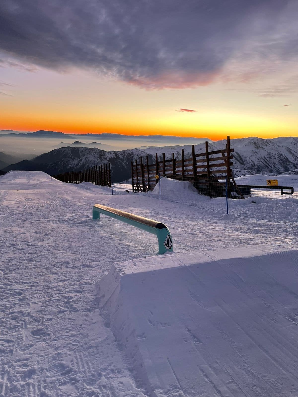
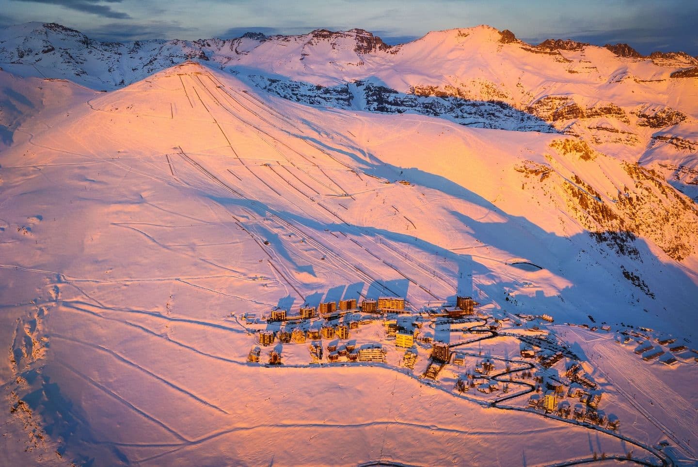
📷 El Colorado
South America
El Colorado
Conditions data updated Sat, Jul 4, 04:02 PM UTC · informational only
Scroll for happiness
Closed for Season
Weather data is still collected for informational purposes.
Last Snowfall
Jun 24
10d agoPast 24 Hours
0cm
Past 48 Hours
0cm
Past 10 Days
2.2cm
14-Day Forecast
54.7cm
Snow Depth
--
Powder Days
3
2026 season
Bluebird Days
1
2026 season
Overview
El Colorado is a ski resort in South America, Chile. Today's SnowSure™ Score is 29/100. The 14-day ensemble forecast across seven weather models (ECMWF, GFS, GEM, JMA, ICON, Météo-France, Met Norway) calls for ~55 cm (21.7 in) of new snow. Conditions last updated 2026-07-04 16:02 UTC.
Resort Guide
El Colorado is a ski resort located in the Andes Mountains near Santiago, Chile, offering over 1,100 acres of skiable terrain and elevations reaching 3,333 meters. The resort features a variety of slopes suitable for all levels, modern lift systems, and direct access to interconnected ski areas. Its relaxed atmosphere, panoramic mountain views, and proximity to Santiago make it a popular choice for both families and experienced skiers seeking diverse runs and reliable snow conditions. Key amenities include equipment rentals, ski schools, on-mountain dining, and lodging options.
Gallery
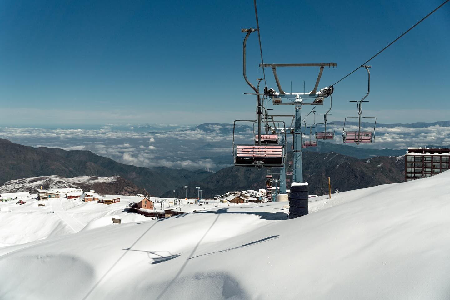
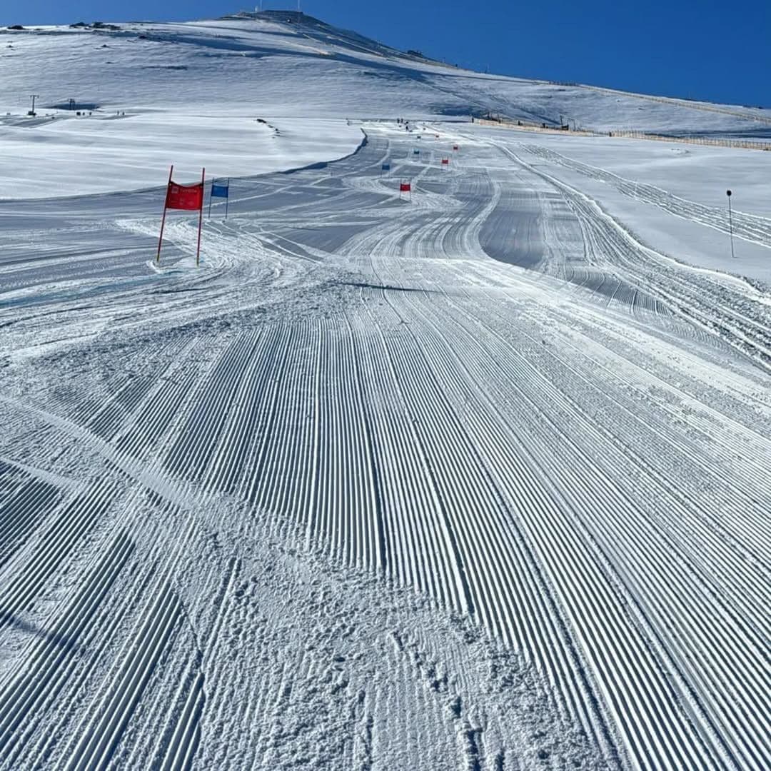
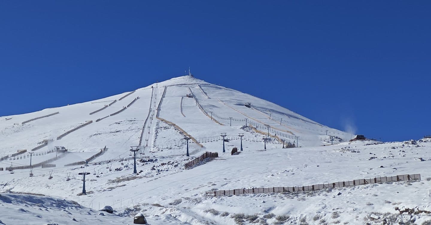
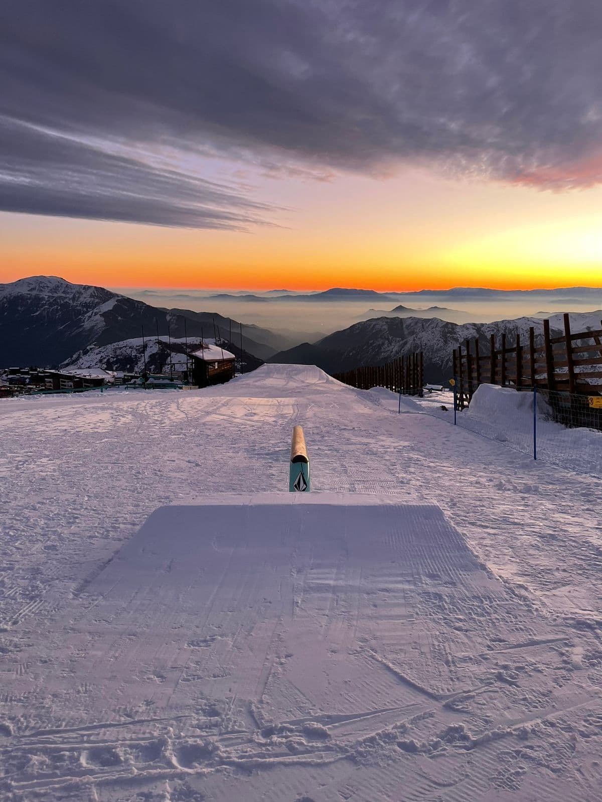
Click to expand • 7 total photos
Terrain & lifts
Resort-reported stats for El Colorado
Lifts
18
Skiable area
305.4 ac
Longest run
4.3 km / 2.7 mi
Runs by difficulty(112 total)
Beginner
28
25% of terrain
Intermediate
50
45% of terrain
Advanced
34
30% of terrain
Run counts estimated from resort-reported totals and terrain mix.
Lift fleet
- Quad chair1
- Triple chair1
- Double chair3
- Surface lift18
Resort Info
Season dates
Future dates are operator estimates and may change.
Ski passes
No ski pass found
Access tiers change by season — confirm benefits on the pass operator's site.
Top Après Ski
El Refugio – This popular après-ski bar at El Colorado is renowned for its cozy alpine atmosphere, panoramic mountain views, and lively ambiance, making it a favorite spot for skiers to unwind with drinks and music after a day on the slopes.
Not operating — season has ended
SnowSure scores and forecasts below are for planning and reference only while the resort is closed.
Depth
Resort closed — no current ski-base depth.
Recent
No new snow has been recorded in the past week.
Forecast
The 14-day snow outlook suggests potential snowfall accumulation between 8cm and 49cm, depending on the model.
Historic
Season-to-date snowfall is tracking below typical for this point in the season, with only 2cm compared to the 5-year average of 121cm.
Closed for the season · Data updated Sat, Jul 4, 04:02 PM UTC · informational only
Snow Summary
Updated Jul 4, 2026 at 4:02 PM
Historical data from Open-Meteo archive • Forecast from ECMWF IFS model
Snowfall Forecast Maps
Andes (Chile & Argentina) region
Current Conditions
Reported Sat, Jul 4, 04:02 PM UTC
Depth by source
every reading we have- Open-MeteoBase 3cm
The headline depth uses the most trusted available source. We show every reading so you can judge for yourself.
Base
2430m
Temp
0.1°C
Wind
3.2km/h
Snow Depth
--
14-Day Forecast
19.8cm
Mid-Mountain
2882m
Temp
--°C
Wind
4km/h
Snow Depth
--
14-Day Forecast
54.7cm
Summit
3333m
Temp
-6.9°C
Wind
4.3km/h
Snow Depth
--
14-Day Forecast
47.8cm
Ops signals
- ●Cold summit temps — snow preservation favorable
Local Reports
0 reportsDaily Snowfall Forecast by Model
Black line = verified SnowSure™ blend (not a simple average). Weights update weekly from measured snowfall at SNOTEL stations and resort reports.
SnowSure™ blend — verified model weighting
The black line is not a simple average. For El Colorado (andes), we combine seven global weather models using weights learned from daily forecast verification — comparing each model's prediction to measured snowfall (SNOTEL, resort reports, ERA5).
- 1.Horizon buckets: days 1–3, 4–7, and 8–14 each get separate weights — short-range skill differs from long-range.
- 2.Regional calibration: weights come from verified error in this geography (Rockies, Alps, Japan, etc.), recalculated weekly.
- 3.Ground truth only: we never grade a forecast against another model — only against measured snow.
Building verification history for this resort.
How we verify forecasts →Hourly Forecast Detail
AM / PM / Night breakdown with wind and freezing level
NWP models refresh up to 4× daily · Last synced Jul 4, 4:02 PM
Today -7 / -150.4cm0.6mm | Sun, Jul 5 -6 / -160.8cm1.2mm | Mon, Jul 6 1 / -12 | Tue, Jul 7 4 / -6 | Wed, Jul 8 1 / -32.5cm3.6mm | Thu, Jul 9 4 / -21.9cm2.7mm | |||||||||||||
|---|---|---|---|---|---|---|---|---|---|---|---|---|---|---|---|---|---|---|
| Period | AM | PM | Night | AM | PM | Night | AM | PM | Night | AM | PM | Night | AM | PM | Night | AM | PM | Night |
| Snow (cm) | 0 | 0.2 | 0.2 | 0 | 0 | 0.8 | 0 | 0 | 0 | 0 | 0 | 0 | 1.5 | 0.8 | 0.2 | 0.4 | 0 | 1.5 |
| Precip (mm) | 0 | 0.3 | 0.3 | 0 | 0 | 1.2 | 0 | 0 | 0 | 0 | 0 | 0 | 2.1 | 1.2 | 0.3 | 0.6 | 0 | 2.1 |
| Temp (°C) | -12 | -7 | -13 | -14 | -7 | -13 | -7 | -1 | -9 | -3 | 3 | -4 | -2 | 1 | -1 | 2 | 3 | -1 |
| Wind (km/h) | 6 | 6 | 7 | 8 | 3 | 7 | 7 | 3 | 8 | 7 | 3 | 8 | 8 | 7 | 6 | 6 | 4 | 7 |
| Gusts (km/h) | 61 | 65 | 53 | 44 | 21 | 35 | 23 | 24 | 28 | 37 | 36 | 44 | 48 | 47 | 53 | 37 | 50 | 51 |
14-Day Snow Forecast by Model
Summit elevation (3333m)
10-Day Forecast
Today
4
❄️
-6.9°
-14.8°
0.3cm
10 km/h
Sun
5
❄️
-5.6°
-16.5°
0.9cm
10 km/h
Mon
6
⛅
0.8°
-11.6°
9 km/h
Tue
7
☁️
3.8°
-6.4°
9 km/h
Wed
8
❄️
1.1°
-3.1°
2.4cm
9 km/h
Thu
9
❄️
3.9°
-2.5°
1.9cm
9 km/h
Fri
10
❄️
-0.5°
-4°
9.4cm
9 km/h
Sat
11
❄️
0.3°
-4°
5.2cm
8 km/h
Sun
12
❄️
1.5°
-6.2°
0.7cm
7 km/h
Mon
13
❄️
-2°
-9.5°
2.7cm
11 km/h
Summit elevation (3333m) • ECMWF model
Season vs Historic
Updated Sat, Jul 4, 04:02 PM UTC
2.4cm
Season Total
This Season to Date
-98%
vs 5-Year Avg
121cm avg by now
-98%
vs 30-Year Avg
121cm avg by now
121cm
5-Yr Avg by Now
Over the past five years, average seasonal snowfall has declined to 133.5 cm, falling below the 30-year average of 151.2 cm. The most recent season recorded 136.2 cm, which is 82% of the 5-year average and only 72% of the 30-year average, indicating a continued downward trend. Notable variability is evident, with a significant spike in 2023 (239.5 cm) followed by much lower totals in other years, particularly 2022 (72.1 cm). This pattern suggests increased year-to-year volatility and an overall decrease in snowfall relative to historical norms.
El Colorado Snow History
Average annual snowfall is 337cm with an average of 78 snowfall days per season. The table below shows monthly averages across 31 seasons of archive data (modeled snowpack at mid-elevation).
| Month | Avg Snowfall | Snowfall Days | Avg Base Depth | Max Base Depth | Biggest Snowfall |
|---|---|---|---|---|---|
| June | 100.5cm | 13 days | 52cm | 92cm | 28cm |
| July | 67.1cm | 13 days | 91cm | 119cm | 21cm |
| August | 76.9cm | 14 days | 114cm | 145cm | 23.7cm |
| September | 52.3cm | 13 days | 110cm | 138cm | 15.3cm |
| October | 29.9cm | 15 days | 58cm | 93cm | 9.7cm |
Source: SnowSure archive · Open-Meteo ERA5 reanalysis at mid-elevation. Depth is modeled, not resort-reported.
Season at a Glance
Current season(2026)
Opened Jun 27, 2026
Scheduled close: Oct 4, 2026
Multi-season averages will appear once SnowSure has tracked more than one full season.
Best Months to Visit
August
Peak Season
July
Peak Season
September
Good
June
Good
Note: Based on typical ski season patterns for this region.


