

📷 Cervinia
Europe
Cervinia
Closed for the season
Best months to book: April, March, November · last season + 30-yr record
Scroll for happiness
Closed since Aug 1 — Summer glacier skiing suspended — insufficient snow cover (shared Plateau Rosà).
Weather data is still collected for informational purposes.
Last Snowfall
Oct 10
3d agoPast 24 Hours
0cm
Past 48 Hours
0cm
Past 10 Days
15cm
7-Day Forecast
23cm
Snow Depth
--
Bluebird Days predicted: Tue, Thu
Cervinia is closed for the season. Here is when it is usually best to book.
Best months to book
- #1April87cm avg · last season 32.7
- #2March70cm avg · last season 42.6
- #3November108cm avg
Best weeks to book
- #1 15 Mar – 21 Mar · last season 54.7
- #2 29 Mar – 4 Apr · last season 44
- #3 12 Apr – 18 Apr · last season 36.4
Ranked on 25% last season's SnowSure score (2025-26) · 75% 30-year snowfall and base-depth record. The live score returns when the lifts turn.
Depth
Resort closed — no current ski-base depth.
Recent
In the past week, there has been 15cm of new snowfall.
Forecast
23cm in the next 7 days.
Historic
Season-to-date snowfall is 3% below the 5-year average.
Closed since Aug 1 — Summer glacier skiing suspended — insufficient snow cover (shared Plateau Rosà). · Data updated Tue, Oct 13, 11:01 PM UTC · informational only
Current Conditions
Reported Tue, Oct 13, 11:01 PM UTC
Terrain
Closed since Aug 1 — Summer glacier skiing suspended — insufficient snow cover (shared Plateau Rosà).
72 runs · 24 lifts — live counts and the SnowSure™ Score return when the lifts turn.
Ops signals
- ●Cold summit temps — snow preservation favorable
Updated Oct 13, 2026 at 11:01 PM
Days 8–14 and every model are in SnowSure Pro.
Unlock with ProHistorical data from Open-Meteo archive • Forecast: SnowSure™ multi-model blend · mid-upper forecast point
Maps
All maps for Cervinia →
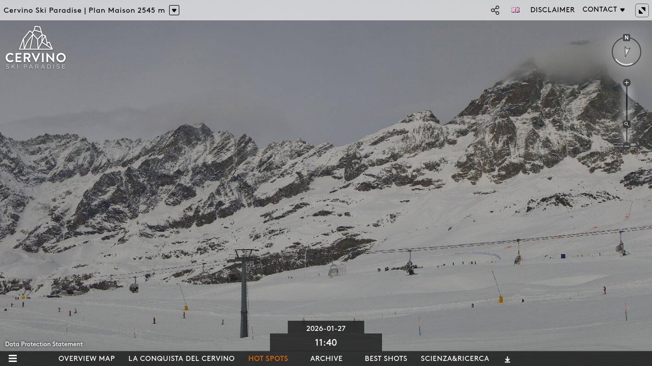
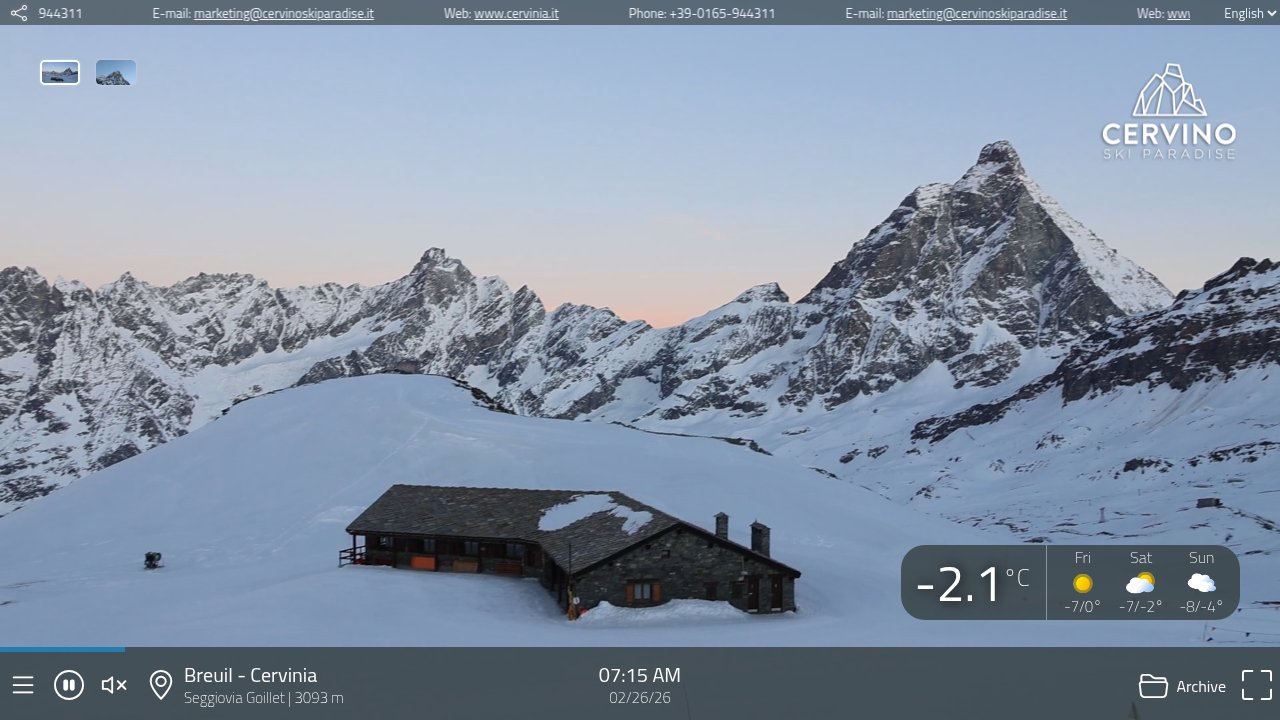
Webcams & Proof of Powder
All webcams & Proof of Powder →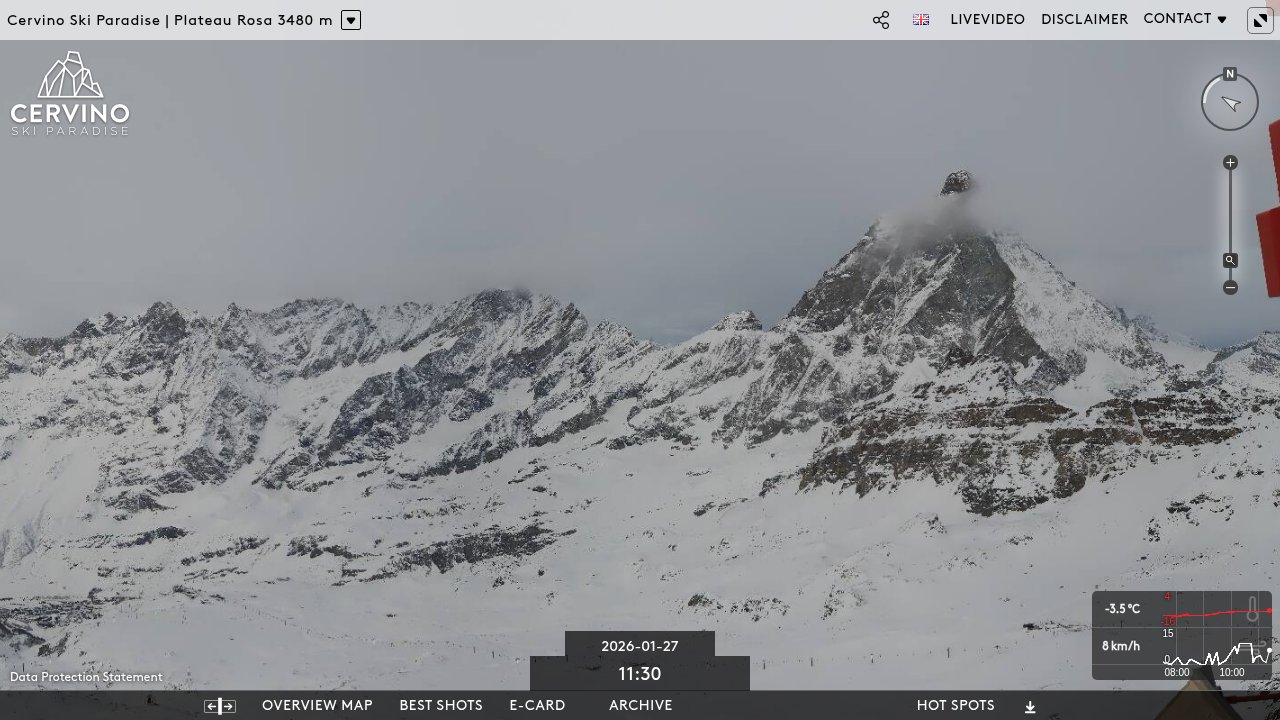

About Cervinia
Cervinia is a prominent ski resort located in the Italian Alps at the foot of the Matterhorn, offering extensive ski terrain that connects with Zermatt in Switzerland. The resort features high-altitude slopes suitable for all levels, reliable snow conditions throughout the season, and panoramic views of the surrounding peaks. Visitors benefit from a modern lift system, a welcoming alpine village atmosphere, and a variety of amenities including ski schools, mountain restaurants, and après-ski options. Cervinia stands out for its cross-border skiing opportunities and long, scenic runs.
Read the full resort guide →Frequently asked questions about Cervinia
- Where is Cervinia?
- Cervinia is a ski resort in Italy.
- How high is Cervinia?
- Cervinia runs from a base elevation of 2,050 m (6,726 ft) to a summit of 3,480 m (11,417 ft), giving a vertical drop of 1,430 m (4,692 ft).
- How big is Cervinia?
- Cervinia has 72 marked runs and 24 lifts.
- Which ski pass covers Cervinia?
- Cervinia is on the Ikon Pass. Access terms such as blackout dates and day limits vary by pass tier, so check the pass operator for the current season.
- When is ski season at Cervinia?
- Cervinia typically operates from October to May. Exact opening and closing dates shift each year with snowfall — check the resort's current season dates before booking.
- How much snow does Cervinia get in a typical season?
- Cervinia averages 394 inches / 1001 cm of snowfall in a typical season. Any individual season can run well above or below that.
- How will El Niño affect Cervinia in winter 2026-27?
- El Niño Signal Rank: #141 of 488 SnowSure resorts · Tier B · strong-event signal +6% vs its own 30-yr average. In the three strongest El Niño winters on record ('97-98, '15-16, '23-24), Cervinia averaged +6% versus its own 30-year snowfall baseline. The pattern has historically leaned mildly in this resort's favor for winter 2026-27. Analog winters: '97-98 -13%, '15-16 -2%, '23-24 +33%. A pattern, not a promise.


