Arapahoe Basin ski resort
Tier B — Favored

📷 Arapahoe Basin

North America

Arapahoe Basin

Pre-season — not open yet

Last season ended May 16, 2026

Conditions data updated Sat, Aug 29, 12:01 PM UTC · informational only

Pre-season — not open yet closed May 16

Weather data is still collected for informational purposes.

Last Snowfall

--

Past 24 Hours

0cm

Past 48 Hours

0cm

Past 10 Days

0cm

14-Day Forecast

0.1cm

Snow Depth

--

🎿

Powder Days

6

2026–27 season

Updated: Aug 29, 12:01 PMWeather at base: 3286m

Overview

Arapahoe Basin is a ski resort in North America, United States, currently not operating today (Last season ended May 16, 2026). Conditions last updated 2026-08-29 12:01 UTC.

Resort Guide

Arapahoe Basin, located in Colorado’s Rocky Mountains, is renowned for its high elevation, long ski season, and diverse terrain that caters to both advanced and beginner skiers. The resort features over 1,400 acres of skiable terrain, including challenging steeps, open bowls, and scenic glades. Known for its laid-back atmosphere and iconic “Beach” tailgating area at the base, Arapahoe Basin offers a unique mountain experience with modern amenities, on-mountain dining, and a focus on sustainability. Its extended season, often running into June, distinguishes it as a premier destination for spring skiing.

Resort Info

Summit3978m
Base3286m
Vertical692m
Lifts9
Runs147
Skiable Area1428 acres
Average snowfall350 inches / 890 cm
CountryUnited States

Season dates

Last season endedMay 16, 2026
Projected openingOctober 24, 2026

Ski passes

Access tiers change by season — confirm benefits on the pass operator's site.

Top Après Ski

6th Alley Bar & Grill – Renowned for its laid-back vibe and stunning mountain views, this slopeside bar is a favorite among locals and visitors alike for its craft beers, signature bacon bloody marys, and lively après-ski scene.

Snow Summary

3978mECMWF Model

Updated Aug 29, 2026 at 12:01 PM

0cm
24h
0cm
Past 10d
14-Day Forecast
0
Prev10d
Now29
S30
M31
T1
W2
T3
F4
Past
Today
Forecast

Snowfall Forecast Maps

Rockies & Southwest region

Current Conditions

Reported Sat, Aug 29, 12:01 PM UTC

Depth by source

every reading we have
  • SNOTELBase 0cm

The headline depth uses the most trusted available source. We show every reading so you can judge for yourself.

Base

3286m

Temp

7.8°C

Wind

11.6km/h

Snow Depth

--

14-Day Forecast

0.1cm

Mid-Mountain

3632m

Temp

--°C

Wind

13km/h

Snow Depth

--

14-Day Forecast

0.1cm

Summit

3978m

Temp

3.3°C

Wind

11.6km/h

Snow Depth

--

14-Day Forecast

0.1cm

El Niño Outlook · Winter 2026-27

Arapahoe Basin El Niño rank & forecast

Arapahoe Basin ranks #151 of 488 SnowSure resorts — Tier B, +5% in strong El Niño winters.

Tier BFavored: Modest El Niño upside (+3% to +8% vs normal). Often a solid pick, without the biggest Andes-style swings.

#151 of 488Tier BFavored

Strong-event signal: +5% vs this resort's 30-yr avg

In the three strongest El Niño winters on record ('97-98, '15-16, '23-24), Arapahoe Basin averaged +5% versus its own 30-year snowfall baseline. The pattern has historically been a friend here. With a record-strength event forecast for winter 2026-27, Arapahoe Basin sits on the favorable side of the ledger. Analog winters: '97-98 -19%, '15-16 +1%, '23-24 +33%. A pattern, not a promise.

'97-98 −19%'15-16 +1%'23-24 +33%

Live Conditions

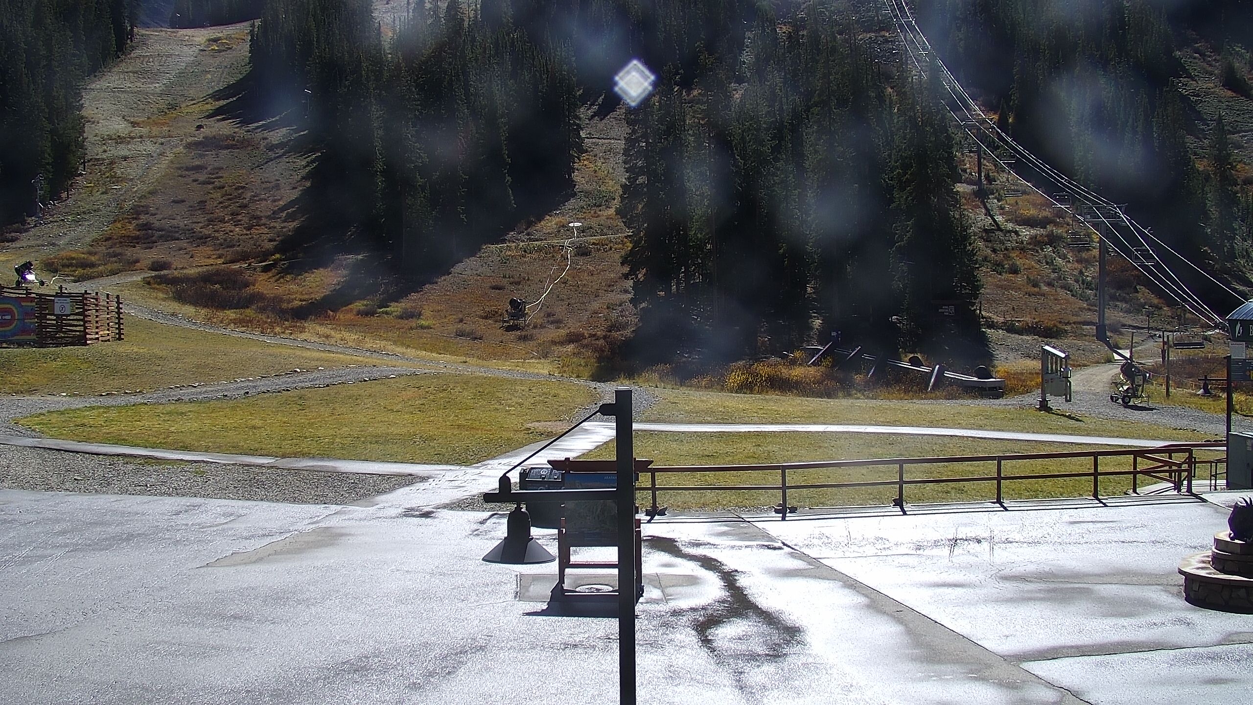
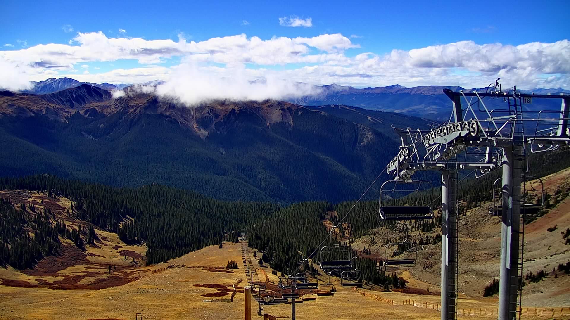
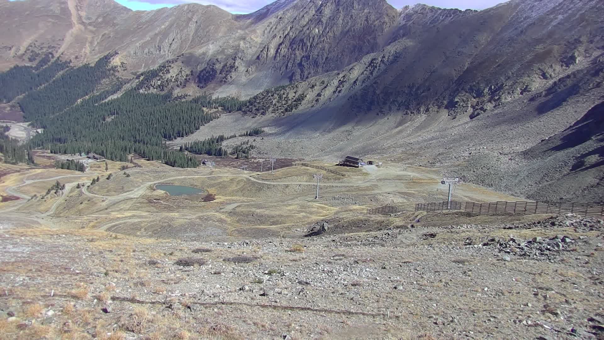
Arapahoe Basin Webcams

All Webcams

Arapahoe Basin / HDRelay

Arapahoe Basin / HDRelay

Arapahoe Basin / HDRelay

Arapahoe Basin / HDRelay

4 webcams • Click to expand

Local Reports

0 reports
SnowSure™ Forecast Range

Daily Snowfall Forecast by Model

Black line = verified SnowSure™ blend (not a simple average). Weights update weekly from measured snowfall at SNOTEL stations and resort reports.

SnowSure™ blend — verified model weighting

The black line is not a simple average. For Arapahoe Basin (rockies), we combine seven global weather models using weights learned from daily forecast verification — comparing each model's prediction to measured snowfall (SNOTEL, resort reports, ERA5).

  • 1.Horizon buckets: days 1–3, 4–7, and 8–14 each get separate weights — short-range skill differs from long-range.
  • 2.Regional calibration: weights come from verified error in this geography (Rockies, Alps, Japan, etc.), recalculated weekly.
  • 3.Ground truth only: we never grade a forecast against another model — only against measured snow.

Building verification history for this resort.

How we verify forecasts →

Hourly Forecast Detail

AM / PM / Night breakdown with wind and freezing level

NWP models refresh up to 4× daily · Last synced Aug 29, 12:01 PM

Hourly Forecast Detail
 
Today
15 / 25.4mm
Sun, Aug 30
9 / 13.3mm
Mon, Aug 31
11 / 10.6mm
Tue, Sep 1
12 / 1
Wed, Sep 2
12 / 0
Thu, Sep 3
13 / -10.3mm
PeriodAMPMNightAMPMNightAMPMNightAMPMNightAMPMNightAMPMNight
Snow (cm)000000000000000000
Precip (mm)02.62.80.42.50.400.50.100000000.30
Temp (°C)81345936103511351136124
Wind (km/h)17181319191310571614620168795
Gusts (km/h)535640576043322623484630445139323834

14-Day Snow Forecast by Model

Summit elevation (3978m)

ECMWF
0cm
GFS
0.6cm
GEM
0cm
JMA
0cm
ICON
0cm
Météo-Fr
0cm
SnowSure™
0.1cm

10-Day Forecast

Today

29

🌧️

15.1°

1.9°

22 km/h

Sun

30

🌧️

8.9°

1.4°

21 km/h

Mon

31

🌧️

10.8°

0.9°

12 km/h

Tue

1

☁️

11.8°

0.8°

18 km/h

Wed

2

☀️

12°

0.4°

23 km/h

Thu

3

🌧️

12.7°

-0.9°

11 km/h

Fri

4

🌧️

13.4°

1°

16 km/h

Sat

5

🌧️

14.6°

1.8°

7 km/h

Sun

6

🌧️

14.2°

0.8°

13 km/h

Mon

7

🌧️

14.9°

1.6°

18 km/h

Summit elevation (3978m) • ECMWF model

Avalanche

Off-season — no rating published

Colorado Avalanche Information Center

Watch for signs of unstable snow such as recent avalanches, cracking in the snow, and audible collapsing. Avoid traveling on or under similar slopes.

Read the official bulletin ↗

SnowSure relays the official avalanche bulletin and does not issue avalanche forecasts. Read the full bulletin at the issuer’s link and make your own terrain decisions. Not a substitute for avalanche education, equipment, or local knowledge.

Getting There

Drive times & access

Last updated 12:13 PM

6 cameras · 3 sensors nearby

Official map ↗

Drive conditions

QuietNo winter restrictions — typical off-season pavement

No chain controls or closures on the highways SnowSure watches near Arapahoe Basin. Nearest roadside sensor (I-70 216.60 Eastbound : 0.4 mile East of US-6 Loveland Pass, 5.2 km): Above freezing. Late-season / summer readings are not a winter forecast. The resort road status and the official DOT map are authoritative — re-check before you drive.

SnowSure take from the live sensors. Not the resort's road status.

Roadside weather sensors

I-70 216.60 Eastbound : 0.4 mile East of US-6 Loveland Pass

5.2 km · CDOT

Above freezing

Road surface
12°C
Wind
0 km/h
Precip
no precipitation

Updated 12:13 PM

I-70 218.15 Westbound : 0.3 mile West of Herman Gulch Road

6.7 km · CDOT

Above freezing

Road surface
10°C
Air
7°C
Wind
3 km/h
Precip
other

Updated 12:13 PM

I-70 213.20 Eastbound : 0.6 mile West of Eisenhower Johnson Memorial Tunnel

7.3 km · CDOT

Above freezing

Air
10°C
Wind
15 km/h
Precip
no precipitation

Updated 10:53 AM

Highway cameras near Arapahoe Basin

US 6 MP 226.25 WB : 2.5 miles W of Loveland Ski Area 2 road camera
US 6 MP 226.25 WB : 2.5 miles W of Loveland Ski Area 24.1 km · CDOT
I-70 MP 215.90 WB : 0.7 miles E of Eisenhower Tunnel road camera
I-70 MP 215.90 WB : 0.7 miles E of Eisenhower Tunnel4.8 km · CDOT
I-70 MP 216.60 EB : 0.4 miles E of US 6 Loveland Pass 4 road camera
I-70 MP 216.60 EB : 0.4 miles E of US 6 Loveland Pass 44.9 km · CDOT
I-70 MP 216.60 EB : 0.4 miles E of US 6 Loveland Pass 2 road camera
I-70 MP 216.60 EB : 0.4 miles E of US 6 Loveland Pass 24.9 km · CDOT
I-70 MP 216.60 EB : 0.4 miles E of US 6 Loveland Pass 1 road camera
I-70 MP 216.60 EB : 0.4 miles E of US 6 Loveland Pass 14.9 km · CDOT
I-70 MP 215.60 EB : 0.3 miles E of Eisenhower Tunnel road camera
I-70 MP 215.60 EB : 0.3 miles E of Eisenhower Tunnel4.9 km · CDOT

Live highway sensors & cameras within ~30–40 km, via CDOT. Conditions on the drive, not the mountain — the resort's own road status is authoritative. Always re-check before a winter drive.

Season vs Historic

Updated Sat, Aug 29, 12:01 PM UTC

0cm

Season Total

This Season to Date

vs 5-Year Avg

Off-season · 216cm full-season avg

vs 30-Year Avg

Off-season · 204cm full-season avg

216cm

5-Yr Avg by Now

The last completed season totaled ~177.1 cm. That's 18% below the 5-year average (216 cm). Versus the 30-year baseline: 13% below the 30-year average (204 cm).

Arapahoe Basin Snow History

Average annual snowfall is 288cm with an average of 135 snowfall days per season. The table below shows monthly averages across 30 seasons of archive data (modeled snowpack at mid-elevation).

Average monthly snowfall history
MonthAvg SnowfallSnowfall DaysAvg Base DepthMax Base DepthBiggest Snowfall
November26.2cm13 days15cm26cm7.1cm
December29.6cm16 days31cm44cm6.9cm
January30.2cm17 days49cm62cm6.7cm
February32.3cm18 days64cm78cm6.4cm
March39.8cm18 days75cm88cm9.1cm
April52.4cm19 days80cm96cm12cm
May35.8cm15 days66cm91cm10.4cm

Source: SnowSure archive · Open-Meteo ERA5 reanalysis at mid-elevation. Depth is modeled, not resort-reported.

Season at a Glance

Next season(2026-27)

Opens Oct 24, 2026

Through May 16, 2027

Multi-season averages will appear once SnowSure has tracked more than one full season.

ENSO seasonal analog

History · not a forecast

In 10 past El Niño winters at Arapahoe Basin, ERA5 season snowfall median was 299 cm (118 in), about 3% above this resort’s long-term median. This is a historical analog from reanalysis — not a prediction of this winter’s storm track.

Prevailing ONI

El Niño

MJJ 2026 · ANOM +1.39°C

Analog season median

299 cm

10 El Niño winters · 3% above median

All-season median

289 cm

Across 30 ERA5 seasons (2026-27)

PhaseSeasonsMedianp25–p75Recent analogs
El Niñocurrent10299 cm273 cm – 328 cm2023, 2019, 2018, 2015, 2014, 2009
La Niña12281 cm242 cm – 320 cm2022, 2021, 2020, 2017, 2011, 2010
ENSO-neutral8293 cm234 cm – 301 cm2025, 2024, 2016, 2013, 2012, 2003

Season snowfall from Open-Meteo ERA5 reanalysis (~9 km). ENSO phase from NOAA CPC Oceanic Niño Index. Relative phase differences are more trustworthy than absolute cm totals. Source: NOAA CPC Oceanic Niño Index + Open-Meteo ERA5 via SnowSure season archive.

Best Months to Visit

February

Peak Season

January

Peak Season

March

Good

December

Good

Note: Based on typical ski season patterns for this region.

Frequently asked questions about Arapahoe Basin

Where is Arapahoe Basin?
Arapahoe Basin is a ski resort in the United States.
How high is Arapahoe Basin?
Arapahoe Basin runs from a base elevation of 3,286 m (10,781 ft) to a summit of 3,978 m (13,051 ft), giving a vertical drop of 692 m (2,270 ft).
How big is Arapahoe Basin?
Arapahoe Basin has 1,428 acres (578 hectares) of skiable terrain, 147 marked runs and 9 lifts.
Which ski pass covers Arapahoe Basin?
Arapahoe Basin is on the Ikon Pass. Access terms such as blackout dates and day limits vary by pass tier, so check the pass operator for the current season.
When is ski season at Arapahoe Basin?
Arapahoe Basin typically operates from October to May. Exact opening and closing dates shift each year with snowfall — check the resort's current season dates before booking.
How much snow does Arapahoe Basin get in a typical season?
Arapahoe Basin averages 350 inches / 890 cm of snowfall in a typical season. Any individual season can run well above or below that.
How will El Niño affect Arapahoe Basin in winter 2026-27?
El Niño Signal Rank: #151 of 488 SnowSure resorts · Tier B · strong-event signal +5% vs its own 30-yr average. In the three strongest El Niño winters on record ('97-98, '15-16, '23-24), Arapahoe Basin averaged +5% versus its own 30-year snowfall baseline. The pattern has historically been a friend here. With a record-strength event forecast for winter 2026-27, Arapahoe Basin sits on the favorable side of the ledger. Analog winters: '97-98 -19%, '15-16 +1%, '23-24 +33%. A pattern, not a promise.